4 Gardener Street, Portslade, Brighton, BN41 1SX
About 4 Gardener Street
4 Gardener Street is a two-bedroom mid-terrace house in Portslade, Brighton, Brighton (BN41 1SX). It has a recorded floor area of 72 m² (around 778 sq ft), construction records dating it to before 1900 and council tax band C. The latest certificate (May 2011) shows an E (score 50), well below the UK norm with real room to improve. The latest certificate is from May 2011, so improvements made since then won't be reflected. Period features are noted in the property record.
It lags the bulk of the postcode on energy efficiency (less efficient than 89% of similar EPCs). Across 1995–2021, sale prices on this property compounded at 8.3% per year. Today's modelled estimate of £384,000 is 13.3% above the 2021 sale price. On a £-per-square-foot basis, the last sale (£436/sq ft) was about 74.3% above the typical sold price in the postcode. Last sale on file: £339,000 in February 2021. That sale was during the post-pandemic price surge, when transactions cleared materially above pre-2020 trend.
Know exactly what you're buying at 4 Gardener Street
Before you offer, see what the listing won't tell you, the true value, the red flags and the full history.
Already flagged here
Valuation
against the asking price
Risks
planning & flood
Sold prices
similar homes nearby
Trends
the local market
What this property has
Inside
- Bedrooms2
- Bathrooms1
- Dining roomYes
- CloakroomYes
- EnsuiteYes
Outside
- Private gardenRear
Building
- Period featuresYes
- RefurbishedYes
Energy performance
4 Gardener Street's EPC is over a decade old — improvements since won't be reflected.
EPC Expired
This certificate is over 10 years old and is no longer valid.Expired 15 May 2021
EPC Rating
Planning history
4 Gardener Street has no planning applications on record.
Notable planning nearby
7applications of note in the surrounding area
We flagged 2 things worth checking at 4 Gardener Street
Independent checks surfaced things a buyer would want to understand before offering. The report explains each one in full, with the underlying data and what to ask.
- Signs of HMO activity in the area
- Larger development activity nearby
30-day money-back guarantee
Sales history & valuation
Price for 4 Gardener Street has grown more than fourfold since the 1995 starting point.
£384,000
Modelled from EPC, postcode comparables and a sale-price growth of 8.3% per year over 26 years.
£339,000
Growth on file: 8.3% per year over 26 years.
Sales timeline
26 February 2021Most recent
£339,000
+4.3%over 3 years21 September 2017
£325,000
+42.9%over 5 years16 December 2011
£227,500
-2.4%over 3 years20 March 2008
£233,000
+38.7%over 4 years23 January 2004
£168,000
+26.8%over 1 year1 April 2002
£132,500
+199.4%over 6 years27 July 1995
£44,250
Median price across the last 5 sales in BN41 1SX: £387,500 (2025–2022).
Nearby sales in BN41 1SX
17 Gardener Street, Portslade, Brighton, BN41 1SX
Sold Jun 2025
£387,50059 Gardener Street, Portslade, Brighton, BN41 1SX
Sold Mar 2024
£465,00057 Gardener Street, Portslade, Brighton, BN41 1SX
Sold Jan 2024
£466,5006 Gardener Street, Portslade, Brighton, BN41 1SX
Sold Jun 2022
£330,00034 Gardener Street, Portslade, Brighton, BN41 1SX
Sold Jun 2022
£357,000
Everything we know about 4 Gardener Street, in one report
What it's really worth, what could be wrong, and the planning, sales and area data in full.
What we flagged
- Signs of HMO activity in the area
- Larger development activity nearby

Versus other Gardener Street homes
On epc rating, 4 Gardener Street runs well behind the street norm.
Price per m²
£4,693
Street avg £3,756
Floor Area
72 m²
Street avg 81 m²
Habitable Rooms
4 rooms
Street avg 4 rooms
CO₂ Emissions
4.9 t/year
Street avg 3.7 t/year
Similar properties nearby
1 Park Crescent, Portslade
BN41 1SR
1 Garden Close, Portslade
BN41 1XL
1 Brambledean Road, Portslade
BN41 1LP
1 Albion Street, Portslade
BN41 1DQ
1 Gardener Street, Portslade
BN41 1SX
1 Barnes Road, Portslade
BN41 1SY
1 Eastbrook Road, Portslade
BN41 1LN
1 Elm Road, Portslade
BN41 1SA
The neighbourhood at a glance
Rail-style transport is unusually close for this postcode.
Crime
4/mo
Steady year-on-year across the wider district.
Nearest stop
0.1 km
Fishersgate Station — bus stop.
Closest school
0.4 km
Brackenbury Primary School. 20 schools nearby.
Go deeper on the local area
The full report breaks down crime, transport links, schools and air quality in depth.
Road noise across the postcode
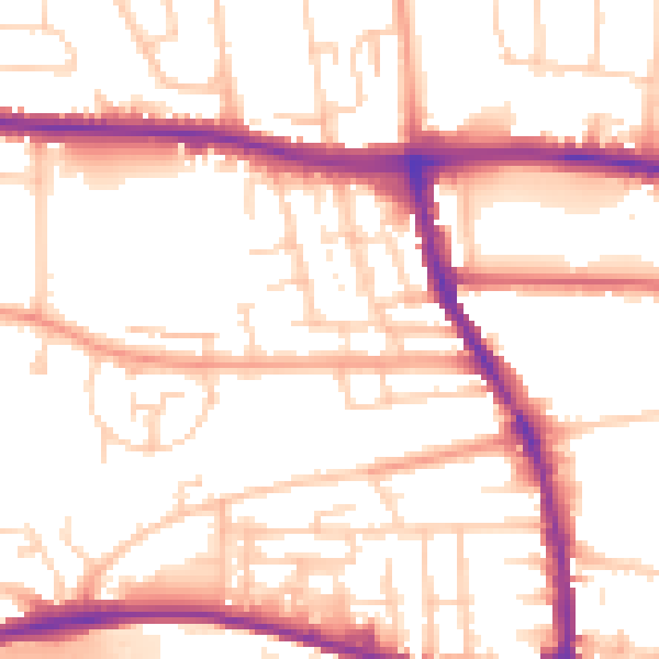
Daytime· 07:00 – 23:00
53.3dB

Night-time· 23:00 – 07:00
43.6dB