10 St Aubyns Road, Portslade, Brighton, BN41 1AD
About 10 St Aubyns Road
10 St Aubyns Road is a four-bedroom mid-terrace house in Portslade, Brighton, Brighton (BN41 1AD). It has a recorded floor area of 137 m² (around 1475 sq ft), construction records dating it to 1900-1929 and council tax band D. The latest certificate (March 2025) shows an E (score 51), well below the UK norm with real room to improve. When first surveyed in August 2012 the rating was G, the property has climbed 2 bands since. Between certificates, wall efficiency went from Very Poor to Poor, window efficiency went from Poor to Average and hot-water efficiency went from Very Poor to Good. The recommended improvements would lift it to C (score 78), a 2-band jump.
At 137 m² the property is well over the postcode median (104 m² across 21 EPCs), placing it in the larger end of the local stock. It lags the bulk of the postcode on energy efficiency (less efficient than 86% of similar EPCs). Across 2012–2014, sale prices on this property compounded at 32.5% per year. Today's modelled estimate of £607,000 is 39.5% above the 2014 sale price. On a £-per-square-foot basis, the last sale (£295/sq ft) was about 27.1% above the typical sold price in the postcode. 11 years since the last transfer (December 2014).
Know exactly what you're buying at 10 St Aubyns Road
Before you offer, see what the listing won't tell you, the true value, the red flags and the full history.
Already flagged here
Valuation
against the asking price
Risks
planning & flood
Sold prices
similar homes nearby
Trends
the local market
What this property has
Inside
- Bedrooms4
- Bathrooms1
Energy performance
10 St Aubyns Road's carbon output runs well above what efficient homes in the postcode produce.
EPC Rating
Property Improvements
Changes detected from historical EPC data
Upgraded to gas central heating
Heating controls upgraded for better temperature management
Hot water system upgraded
Wall insulation improved
Heating controls upgraded for better temperature management
Window efficiency improved
Planning history
10 St Aubyns Road has no planning applications on record.
Notable planning nearby
7applications of note in the surrounding area
We flagged 2 things worth checking at 10 St Aubyns Road
Independent checks surfaced things a buyer would want to understand before offering. The report explains each one in full, with the underlying data and what to ask.
- Signs of HMO activity in the area
- Larger development activity nearby
30-day money-back guarantee
Sales history & valuation
10 St Aubyns Road valuation sits well clear of the typical sold price in this postcode.
£607,000
Modelled from EPC, postcode comparables and a sale-price growth of 32.5% per year over 2 years.
£435,000
Growth on file: 32.5% per year over 2 years.
Sales timeline
8 December 2014Most recent
£435,000
+74.0%over 1 year20 December 2012
£250,000
Median price across the last 5 sales in BN41 1AD: £645,000 (2024–2021).
Nearby sales in BN41 1AD
14 St Aubyns Road, Portslade, Brighton, BN41 1AD
Sold Jan 2024
£645,0008 St Aubyns Road, Portslade, Brighton, BN41 1AD
Sold Jan 2024
£642,0002 St Aubyns Road, Portslade, Brighton, BN41 1AD
Sold Jul 2023
£415,00012 St Aubyns Road, Portslade, Brighton, BN41 1AD
Sold Jan 2022
£673,00030 St Aubyns Road, Portslade, Brighton, BN41 1AD
Sold Sept 2021
£645,000
Everything we know about 10 St Aubyns Road, in one report
What it's really worth, what could be wrong, and the planning, sales and area data in full.
What we flagged
- Signs of HMO activity in the area
- Larger development activity nearby

Versus other St Aubyns Road homes
On price per m², 10 St Aubyns Road runs well behind the street norm.
Price per m²
£3,175
Street avg £4,113
Floor Area
137 m²
Street avg 124 m²
Habitable Rooms
6 rooms
Street avg 6 rooms
CO₂ Emissions
7.8 t/year
Street avg 7.1 t/year
Similar properties nearby
1 Rothbury Mews, Franklin Road, Portslade
BN41 1AU
1 Gardner Road, Portslade
BN41 1PN
1 Links Road, Portslade
BN41 1XH
1 Elm Road, Portslade
BN41 1SA
1 Hurst Crescent, Portslade
BN41 1SG
1 Bampfield Street, Portslade
BN41 1SE
1 Gardener Street, Portslade
BN41 1SX
1 Brambledean Road, Portslade
BN41 1LP
The neighbourhood at a glance
Rail-style transport is unusually close for this postcode.
Crime
4/mo
Steady year-on-year across the wider district.
Nearest stop
0.1 km
St Andrew's Road — bus stop.
Closest school
0.3 km
St Mary's Catholic Primary School. 22 schools nearby.
Go deeper on the local area
The full report breaks down crime, transport links, schools and air quality in depth.
Road noise across the postcode
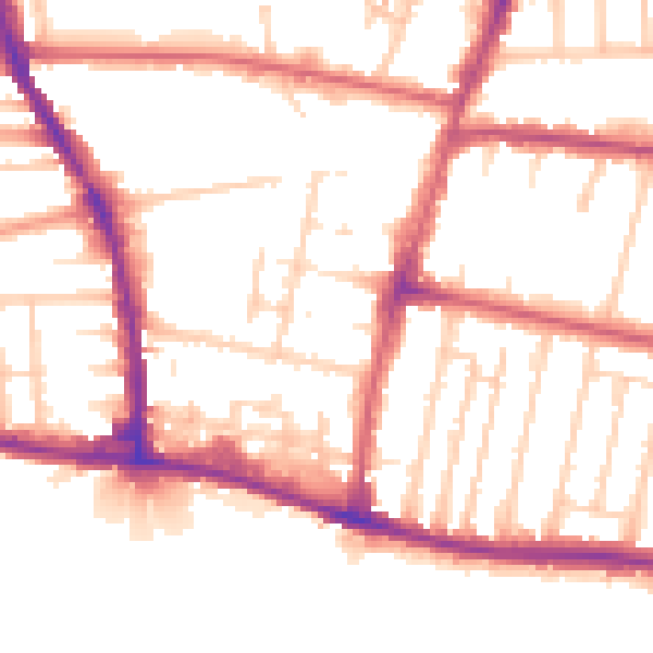
Daytime· 07:00 – 23:00
52.9dB

Night-time· 23:00 – 07:00
44.3dB