57 Kingsland Road, Worthing, BN14 9ED
About 57 Kingsland Road
57 Kingsland Road is a three-bedroom mid-terrace house in Worthing (BN14 9ED). It has a recorded floor area of 101 m² (around 1087 sq ft), construction records dating it to 1900-1929 and council tax band C. Period features are noted in the property record. The latest certificate (October 2024) shows a C (score 72). The recommended improvements would push it to B (score 85).
It changed hands recently, sold February 2025 for £350,000. Its energy rating outperforms most of the postcode (better than 75% of similar EPCs). Across 1997–2025, sale prices on this property compounded at 6.2% per year. Today's modelled estimate of £390,000 is 11.4% above the 2025 sale price. On a £-per-square-foot basis, the last sale (£322/sq ft) was about 60.9% above the typical sold price in the postcode.
What this property has
Inside
- Bedrooms3
- Bathrooms1
- Dining roomYes
- CloakroomYes
Building
- Heating systemGas
- Period featuresYes
Everything you need to know about 57 Kingsland Road
The true value, the hidden risks and the full sale history, in one report.
Pick your report · every report is £14.99
One time fee only - money back guarantee

The data behind every report


Energy performance
EPC Rating
Get a survey for this property
Level 3 Building Survey
Because the property was built before 1919, we believe a Level 3 building survey should be considered.
From £955 · Includes VAT
Planning history
57 Kingsland Road has no planning applications on record.
A planning report still maps activity across the surrounding area and reads this property's extension & conversion potential.
Sales history & valuation
Price for 57 Kingsland Road has grown more than fourfold since the 1997 starting point.
£390,000
Modelled from EPC, postcode comparables and a sale-price growth of 6.2% per year over 27 years.
£350,000
Growth on file: 6.2% per year over 27 years.
Sales timeline
3 February 2025Most recent
£350,000
+414.7%over 27 years14 October 1997
£68,000
Median price across the last 5 sales in BN14 9ED: £397,500 (2025–2022).
Nearby sales in BN14 9ED
Versus other Kingsland Road homes
On years held, 57 Kingsland Road runs well behind the street norm.
Price per m²
£3,465
Street avg £2,913
Floor Area
101 m²
Street avg 107 m²
Habitable Rooms
5 rooms
Street avg 6 rooms
CO₂ Emissions
3.3 t/year
Street avg 4.6 t/year
Everything you need to know about 57 Kingsland Road
The true value, the hidden risks and the full sale history, in one report.
Pick your report · every report is £14.99
One time fee only - money back guarantee
The data behind every report
Similar properties nearby
1 Excess Cottages, Hill Barn Lane
BN14 9QE
1 Downlands Gardens
BN14 9EZ
1 Grove Lodge Cottages, Upper Brighton Road
BN14 9HU
1 Bramley Road
BN14 9DR
1 Broadwater Way
BN14 9LP
1 Bartletts Cottages, Broadwater Street East
BN14 9AJ
1 Downlands Avenue
BN14 9HD
1 Golf Course Cottages, Hill Barn Lane
BN14 9QF
The neighbourhood at a glance
Crime
3/mo
Steady year-on-year across the wider district.
Nearest stop
0.2 km
Wigmore Road — bus stop.
Closest school
0.4 km
Whytemead Primary School. 20 schools nearby.
Go deeper on the local area
A Local Area report breaks down crime, transport links, schools and air quality in depth.
Road noise across the postcode
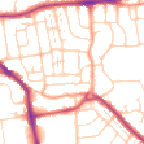
Daytime· 07:00 – 23:00
52.3dB

Night-time· 23:00 – 07:00
42.1dB