56 Howard Street, Worthing, BN11 4EN
About 56 Howard Street
56 Howard Street is a two-bedroom mid-terrace house in Worthing (BN11 4EN). It has a recorded floor area of 91 m² (around 980 sq ft), construction records dating it to 1900-1929 and council tax band B. The latest certificate (December 2022) shows a C (score 79), near the top of the C band. When first surveyed in August 2010 the rating was D, the property has climbed 1 band since. Between certificates, roof efficiency went from Average to Good, window efficiency went from Poor to Average and lighting went from Very Poor to Very Good; while hot-water efficiency dropped from Very Good to Good and main heating dropped from Very Good to Good. The recommended improvements would push it to B (score 87). The property has solar panels on record, all of which lower running costs and tend to lift resale appeal. Period features are noted in the property record.
At 91 m² the property is well over the postcode median (66 m² across 41 EPCs), placing it in the larger end of the local stock. Its energy rating outperforms most of the postcode (better than 85% of similar EPCs). Most recent transfer was June 2025 at £315,000 — fresh data. Across 2000–2025, sale prices on this property compounded at 6.2% per year. On a £-per-square-foot basis, the last sale (£322/sq ft) was about 65.6% above the typical sold price in the postcode.
What this property has
Inside
- Bedrooms2
- Bathrooms1
- CloakroomYes
Outside
- Private gardenRear
Building
- Heating systemGas
- Solar panelsYes
- Period featuresYes
- RefurbishedYes
Everything you need to know about 56 Howard Street
The true value, the hidden risks and the full sale history, in one report.
Pick your report · every report is £14.99
One time fee only - money back guarantee

The data behind every report


Energy performance
EPC Rating
Property Improvements
Changes detected from historical EPC data
Hot water efficiency decreased
Windows upgraded, improving insulation
More low energy lighting installed
Loft insulation upgraded to recommended levels
Solar PV panels (40 kWp) installed
Get a survey for this property
Level 3 Building Survey
Because the property was built before 1919 and has solid (non-cavity) walls, we believe a Level 3 building survey should be considered.
From £955 · Includes VAT
Planning history
56 Howard Street has no planning applications on record.
But the area is active
8 notable applications nearby — larger schemes and conversions that could reshape the street. The report maps them all.
Sales history & valuation
Price for 56 Howard Street has grown more than fourfold since the 2000 starting point.
£328,000
Modelled from EPC, postcode comparables and a sale-price growth of 6.2% per year over 25 years.
£315,000
Growth on file: 6.2% per year over 25 years.
Sales timeline
3 June 2025Most recent
£315,000
+99.4%over 13 years9 January 2012
£158,000
+14.9%over 7 years6 June 2004
£137,500
+98.6%over 4 years26 February 2000
£69,250
Median price across the last 5 sales in BN11 4EN: £300,000 (2025–2024).
Nearby sales in BN11 4EN
Versus other Howard Street homes
EPC Rating for 56 Howard Street runs comfortably ahead of the street norm.
Price per m²
£3,462
Street avg £2,996
Floor Area
91 m²
Street avg 68 m²
Habitable Rooms
4 rooms
Street avg 4 rooms
CO₂ Emissions
2.0 t/year
Street avg 3.3 t/year
Everything you need to know about 56 Howard Street
The true value, the hidden risks and the full sale history, in one report.
Pick your report · every report is £14.99
One time fee only - money back guarantee
The data behind every report
Similar properties nearby
1 Coach House Mews, Gratwicke Road
BN11 4DQ
1 Chappell Croft, Manor Road
BN11 4SF
1 Mill House Gardens
BN11 4NE
1 Howard Street
BN11 4EN
1 Mill Court, Manor Road
BN11 4SG
1 College Gardens
BN11 4QE
1 Manor Lea, Boundary Road
BN11 4RN
1 Clifton Gardens, Clifton Road
BN11 4DZ
The neighbourhood at a glance
Rail-style transport is unusually close for this postcode.
Crime
5/mo
Steady year-on-year across the wider district.
Nearest stop
0.2 km
Howard Street — bus stop.
Closest school
0.2 km
Heene CofE Primary School. 23 schools nearby.
Go deeper on the local area
A Local Area report breaks down crime, transport links, schools and air quality in depth.
Road noise across the postcode
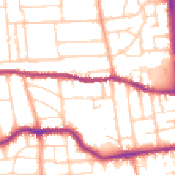
Daytime· 07:00 – 23:00
52.4dB

Night-time· 23:00 – 07:00
41.9dB