5 Elizabeth Road, Worthing, BN11 4EF
About 5 Elizabeth Road
5 Elizabeth Road is a three-bedroom semi-detached house in Worthing (BN11 4EF). It has a recorded floor area of 108 m² (around 1158 sq ft), construction records dating it to 1930-1949 and council tax band D. The latest certificate (February 2011) shows a C (score 73). When first surveyed in July 2010 the rating was E, the property has climbed 2 bands since. Between certificates, wall efficiency went from Poor to Good, roof efficiency went from Average to Good and window efficiency went from Very Poor to Average; while lighting dropped from Average to Very Poor. The latest certificate is from February 2011, so improvements made since then won't be reflected. Records show the property has been extended at some point in its history.
Across 2010–2013, sale prices on this property compounded at 6% per year. Today's modelled estimate of £451,000 sits 61.1% above the 2013 sale of £280,000. On a £-per-square-foot basis, the last sale (£242/sq ft) was about 18.6% above the typical sold price in the postcode. 13 years since the last transfer (April 2013).
What this property has
Inside
- Bedrooms3
- Dining roomYes
- FireplaceYes
Outside
- Private gardenSouth-facing
Building
- Previously extendedYes
- RefurbishedYes
Everything you need to know about 5 Elizabeth Road
The true value, the hidden risks and the full sale history, in one report.
Pick your report · every report is £14.99
One time fee only - money back guarantee

The data behind every report


Energy performance
5 Elizabeth Road's EPC is over a decade old — improvements since won't be reflected.
EPC Expired
This certificate is over 10 years old and is no longer valid.Expired 21 Feb 2021
EPC Rating
Property Improvements
Changes detected from historical EPC data
Heating controls upgraded for better temperature management
Hot water efficiency improved
Single glazing replaced with double or better glazing
Cavity wall insulation installed
Roof insulation improved
Low energy lighting percentage decreased
Get a survey for this property
Level 3 Building Survey
Because the property has been extended more than once, we believe a Level 3 building survey should be considered.
From £1,020 · Includes VAT
Planning history
5 Elizabeth Road has no planning applications on record.
But the area is active
8 notable applications nearby — larger schemes and conversions that could reshape the street. The report maps them all.
Sales history & valuation
5 Elizabeth Road valuation sits well clear of the typical sold price in this postcode.
£451,000
Modelled from EPC, postcode comparables and a sale-price growth of 6.0% per year over 3 years.
£280,000
Growth on file: 6.0% per year over 3 years.
Sales timeline
25 April 2013Most recent
£280,000
+16.7%over 2 years5 September 2010
£240,000
Median price across the last 5 sales in BN11 4EF: £440,000 (2021–2015).
Nearby sales in BN11 4EF
10 Elizabeth Road, Worthing, BN11 4EF
Sold Jun 2021
£450,0004 Elizabeth Road, Worthing, BN11 4EF
Sold Mar 2021
£490,0001 Rectory Mews, Elizabeth Road, Worthing, BN11 4EF
Sold Mar 2019
£437,5006 Elizabeth Road, Worthing, BN11 4EF
Sold Jun 2016
£440,0003 Elizabeth Road, Worthing, BN11 4EF
Sold Aug 2015
£385,000
Versus other Elizabeth Road homes
On epc rating, 5 Elizabeth Road stands well clear of the street.
Price per m²
£2,603
Street avg £2,960
Floor Area
108 m²
Street avg 129 m²
Habitable Rooms
5 rooms
Street avg 6 rooms
CO₂ Emissions
3.3 t/year
Street avg 7.0 t/year
Everything you need to know about 5 Elizabeth Road
The true value, the hidden risks and the full sale history, in one report.
Pick your report · every report is £14.99
One time fee only - money back guarantee
The data behind every report
Similar properties nearby
1 Acre Gardens, Boundary Road
BN11 4LN
1 Elizabeth Road
BN11 4EF
1 Longfellow Road
BN11 4NU
1 Amelia Crescent
BN11 4EB
1 Little Pembrokes, Downview Road
BN11 4NL
1 Coach House Mews, Gratwicke Road
BN11 4DQ
1 Chappell Croft, Manor Road
BN11 4SF
1 Mill House Gardens
BN11 4NE
The neighbourhood at a glance
Rail-style transport is unusually close for this postcode.
Crime
5/mo
Steady year-on-year across the wider district.
Nearest stop
0.1 km
Westbrooke — bus stop.
Closest school
0.1 km
St Mary's Catholic Primary School. 22 schools nearby.
Go deeper on the local area
A Local Area report breaks down crime, transport links, schools and air quality in depth.
Road noise across the postcode
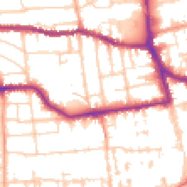
Daytime· 07:00 – 23:00
53.2dB

Night-time· 23:00 – 07:00
42.3dB