3 Ashwood Close, Worthing, BN11 2AF
About 3 Ashwood Close
3 Ashwood Close is a three-bedroom detached house in Worthing (BN11 2AF). It has a recorded floor area of 79 m² (around 850 sq ft), construction records dating it to 1950-1966 and council tax band D. The latest certificate (September 2024) shows a D (score 67), on the cusp of jumping into the C band. The rating has held steady at D across 2 certificates since February 2011. Between certificates, wall efficiency dropped from Good to Average. The recommended improvements would lift it to B (score 82), a 2-band jump.
A recent sale: £480,000 in February 2025. Across the public record there are 4 sales, relatively high churn for a single property. One planning record on file: an extension approved in 2019. Past consents include an extension and a porch, meaningful when judging how the property has evolved. Across 2004–2025, sale prices on this property compounded at 4.3% per year. On a £-per-square-foot basis, the last sale (£564/sq ft) was about 111% above the typical sold price in the postcode.
What this property has
Inside
- Bedrooms3
- Bathrooms1
- CloakroomYes
Outside
- Private gardenYes
- GarageYes
Building
- RefurbishedYes
Everything you need to know about 3 Ashwood Close
The true value, the hidden risks and the full sale history, in one report.
Pick your report · every report is £14.99
One time fee only - money back guarantee

The data behind every report


Energy performance
Recommended upgrades on file would lift this property by multiple EPC bands.
EPC Rating
Get a survey for this property
Level 3 Building Survey
Because the property has been extended more than once, we believe a Level 3 building survey should be considered.
From £1,020 · Includes VAT
Planning history
3 Ashwood Close has an approved extension on the planning record.
1 application on record at 3 Ashwood Close, Worthing, BN11 2AF
- Aug 2019PorchFullOutcome in report
Enlargement of existing front porch to east elevation
Extension- Documents
- 8 docs on file
- Reference
- AWDM/1013/19
Unlock 3 Ashwood Close, Worthing, BN11 2AF's full planning history
You're seeing the shape of it. The report has the substance.
- Every decision — granted, refused or withdrawn (1 on record)
- All 1 application on this property in full, plus 8 notable nearby
- The 8 documents, officer reports & conditions
- What the pattern means for extending or converting here
One time fee only - money back guarantee
Sales history & valuation
Latest sale on 3 Ashwood Close was the highest on Land Registry record across the postcode.
£475,000
Modelled from EPC, postcode comparables and a sale-price growth of 4.3% per year over 20 years.
£480,000
Growth on file: 4.3% per year over 20 years.
Sales timeline
26 February 2025Most recent
£480,000
+52.4%over 8 years20 February 2017
£315,000
+59.5%over 5 years25 November 2011
£197,500
-3.7%over 6 years30 November 2004
£205,000
Median price across the last 5 sales in BN11 2AF: £368,000 (2025–2025).
Nearby sales in BN11 2AF
Versus other Ashwood Close homes
On price per m², 3 Ashwood Close stands well clear of the street.
Price per m²
£6,076
Street avg £4,130
Floor Area
79 m²
Street avg 82 m²
Habitable Rooms
3 rooms
Street avg 4 rooms
CO₂ Emissions
3.0 t/year
Street avg 3.6 t/year
Everything you need to know about 3 Ashwood Close
The true value, the hidden risks and the full sale history, in one report.
Pick your report · every report is £14.99
One time fee only - money back guarantee
The data behind every report
Similar properties nearby
1 Chesswood Road
BN11 2AA
1 Brookdean Road
BN11 2PB
1 Alverstone Road
BN11 2JR
1 Colebrook Close
BN11 2LA
1 Chesswood Close
BN11 2AJ
1 Benedict Drive
BN11 2NY
1 Brougham Walk
BN11 2PY
1 Beach House, Brighton Road
BN11 2EJ
The neighbourhood at a glance
Rail-style transport is unusually close for this postcode.
Crime
5/mo
Steady year-on-year across the wider district.
Nearest stop
0.1 km
East Worthing Rail Station — railway station.
Closest school
0.2 km
Davison Church of England High School for Girls, Worthing. 17 schools nearby.
Go deeper on the local area
A Local Area report breaks down crime, transport links, schools and air quality in depth.
Road noise across the postcode
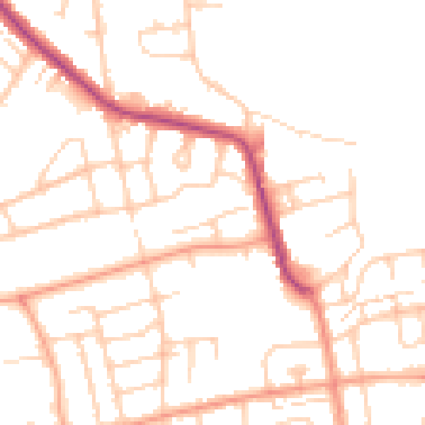
Daytime· 07:00 – 23:00
49.3dB

Night-time· 23:00 – 07:00
39.6dB