2b, Benson Street, Bury, BL9 7EP
About 2b
2b is a mid-terrace house in Bury (BL9 7EP). It has a recorded floor area of 82 m² (around 883 sq ft). The latest certificate (May 2013) returns a B (score 83), comfortably above the UK average. The latest certificate is from May 2013, so improvements made since then won't be reflected.
On energy efficiency it sits in the top 10% of properties in this postcode. Today's modelled estimate of £158,000 is 38.7% above the 2013 sale price. On a £-per-square-foot basis, the last sale (£129/sq ft) was about 126.8% above the typical sold price in the postcode. Last sold in April 2013, so it's been off the market for around 13 years.
Know exactly what you're buying at 2b
Before you offer, see what the listing won't tell you, the true value, the red flags and the full history.
Already flagged here
Valuation
against the asking price
Risks
planning & flood
Sold prices
similar homes nearby
Trends
the local market
Energy performance
2b ranks among the most efficient homes in the postcode for energy use.
EPC Expired
This certificate is over 10 years old and is no longer valid.Expired 07 May 2023
EPC Rating
Planning history
2b has no planning applications on record.
Notable planning nearby
6applications of note in the surrounding area
We flagged 2 things worth checking at 2b
Independent checks surfaced things a buyer would want to understand before offering. The report explains each one in full, with the underlying data and what to ask.
- Signs of HMO activity in the area
- Larger development activity nearby
30-day money-back guarantee
Sales history & valuation
2b valuation sits well clear of the typical sold price in this postcode.
£158,000
Modelled from EPC, postcode comparables.
£113,950
Recorded with HM Land Registry.
Sales timeline
18 April 2013Most recent
£113,950
Median price across the last 5 sales in BL9 7EP: £120,000 (2025–2021).
Everything we know about 2b, in one report
What it's really worth, what could be wrong, and the planning, sales and area data in full.
What we flagged
- Signs of HMO activity in the area
- Larger development activity nearby

Versus other Benson Street homes
CO₂ Emissions for 2b runs comfortably ahead of the street norm.
Price per m²
£1,390
Street avg £951
Floor Area
82 m²
Street avg 87 m²
CO₂ Emissions
1.2 t/year
Street avg 4.1 t/year
Years Held
13 years
Street avg 13 years
Similar properties nearby
The neighbourhood at a glance
Rail-style transport is unusually close for this postcode.
Nearest stop
0.1 km
Hurst Street — bus stop.
Closest school
0.3 km
St Thomas Church of England Primary School. 26 schools nearby.
Go deeper on the local area
The full report breaks down crime, transport links, schools and air quality in depth.
Road noise across the postcode
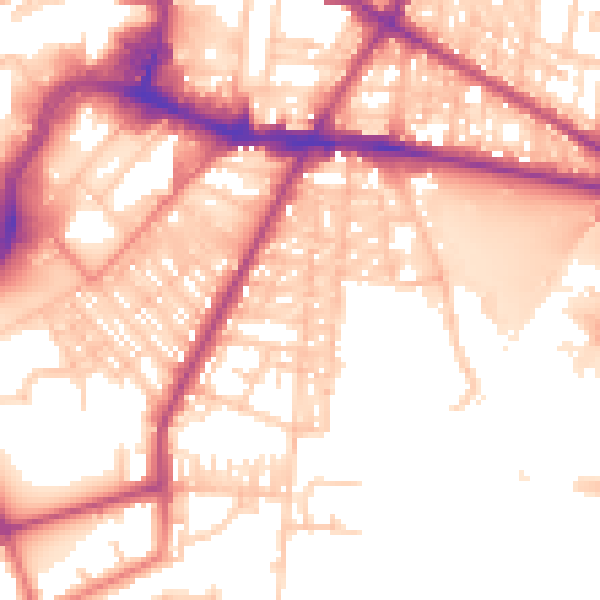
Daytime· 07:00 – 23:00
56.6dB
Night-time· 23:00 – 07:00
48.2dB