55 Vicarage Road, Bournemouth, BH9 2SA
About 55 Vicarage Road
55 Vicarage Road is a three-bedroom detached house in Bournemouth (BH9 2SA). It has a recorded floor area of 81 m² (around 872 sq ft), construction records dating it to 2007-2011 and council tax band D. The latest certificate (August 2021) shows a C (score 77), near the top of the C band. The recommended improvements would push it to B (score 89).
Across 2011–2021, sale prices on this property compounded at 4.6% per year. On a £-per-square-foot basis, the last sale (£413/sq ft) was about 97.9% above the typical sold price in the postcode. Sold November 2021 for £360,000. That sale was during the post-pandemic price surge, when transactions cleared materially above pre-2020 trend.
What this property has
Inside
- Bedrooms3
Everything you need to know about 55 Vicarage Road
The true value, the hidden risks and the full sale history, in one report.
Pick your report · every report is £14.99
One time fee only - money back guarantee

The data behind every report


Energy performance
EPC Rating
Get a survey for this property
Level 2 HomeBuyer Report
We've checked 10 risk factors against the available data for this property and believe a Level 2 HomeBuyer Report could be a suitable option for you.
From £595 · Includes VAT
Planning history
55 Vicarage Road has no planning applications on record.
But the area is active
71 notable applications nearby — larger schemes and conversions that could reshape the street. The report maps them all.
Sales history & valuation
The latest sale landed in the post-pandemic price surge — useful context when reading the figure.
£384,000
Modelled from EPC, postcode comparables and a sale-price growth of 4.6% per year over 11 years.
£360,000
Growth on file: 4.6% per year over 11 years.
Sales timeline
29 November 2021Most recent
£360,000
+61.8%over 9 years27 September 2012
£222,500
4 March 2011
£222,500
Median price across the last 5 sales in BH9 2SA: £352,000 (2025–2022).
Nearby sales in BH9 2SA
Versus other Vicarage Road homes
On epc rating, 55 Vicarage Road stands well clear of the street.
Price per m²
£4,444
Street avg £2,801
Floor Area
81 m²
Street avg 106 m²
Habitable Rooms
5 rooms
Street avg 6 rooms
CO₂ Emissions
2.0 t/year
Street avg 4.8 t/year
Everything you need to know about 55 Vicarage Road
The true value, the hidden risks and the full sale history, in one report.
Pick your report · every report is £14.99
One time fee only - money back guarantee
The data behind every report
Similar properties nearby
1 Comber Road
BH9 2XG
1 Lawford Rise, Wimborne Road
BH9 2BZ
1 Kemp Road
BH9 2PW
1 Bentley Road
BH9 2UE
1 Marks Road
BH9 2XQ
1 Church View, Victoria Park Road
BH9 2RE
1 Carey Road
BH9 2XB
1 Highfield Road
BH9 2SE
The neighbourhood at a glance
Daytime road noise here sits well below conversation level — a quiet pocket of the postcode.
Crime
4/mo
Steady year-on-year across the wider district.
Nearest stop
0.1 km
Ensbury Park Road — bus stop.
Closest school
0.1 km
Moordown St John's Church of England Primary School. 24 schools nearby.
Go deeper on the local area
A Local Area report breaks down crime, transport links, schools and air quality in depth.
Road noise across the postcode
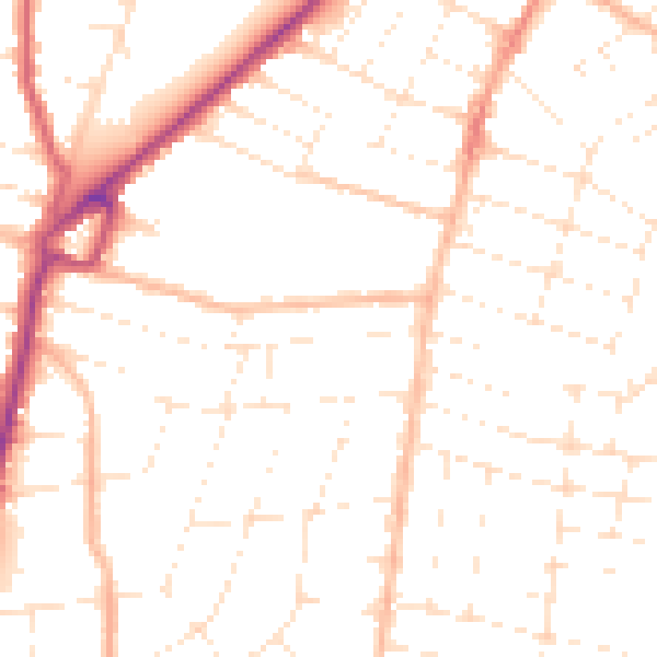
Daytime· 07:00 – 23:00
49.7dB

Night-time· 23:00 – 07:00
39.4dB