2a, Mansfield Road, Bournemouth, BH9 2QW
About 2a
2a is a semi-detached house in Bournemouth (BH9 2QW). It has a recorded floor area of 38 m² (around 409 sq ft), construction records dating it to 1950-1966 and council tax band A. At 38 m² this is the smallest unit on EPC record across the building (38–120 m²). The building's EPC ratings span E to B across 5 units on file. The latest certificate (November 2019) shows a C (score 70). When first surveyed in September 2009 the rating was D, the property has climbed 1 band since. Between certificates, lighting went from Good to Very Good; while window efficiency dropped from Good to Average.
It hasn't traded since June 2009, a hold of 17 years that's notably long for the area. That sale fell during the post-crash dip, which often skews comparisons against later neighbouring sales. Across 2009–2009, sale prices on this property compounded at 13.2% per year. Today's modelled estimate of £127,000 sits 111.7% above the 2009 sale of £60,000. On a £-per-square-foot basis, the last sale (£147/sq ft) was about 24.3% below the postcode norm. At 38 m² it sits well below the postcode median (100 m² across 4 EPCs), making it one of the more compact homes locally.
Everything you need to know about 2a
The true value, the hidden risks and the full sale history, in one report.
Pick your report · every report is £14.99
One time fee only - money back guarantee

The data behind every report


Energy performance
EPC Rating
Property Improvements
Changes detected from historical EPC data
Heating controls upgraded for better temperature management
More low energy lighting installed
Get a survey for this property
Level 2 HomeBuyer Report
We've checked 10 risk factors against the available data for this property and believe a Level 2 HomeBuyer Report could be a suitable option for you.
From £495 · Includes VAT
Planning history
2a has no planning applications on record.
But the area is active
71 notable applications nearby — larger schemes and conversions that could reshape the street. The report maps them all.
Sales history & valuation
Latest sale on 2a was the lowest on Land Registry record across the postcode.
£127,000
Modelled from EPC, postcode comparables and a sale-price growth of 13.2% per year over 1 year.
£60,000
Growth on file: 13.2% per year over 1 year.
Sales timeline
29 June 2009Most recent
£60,000
+13.2%7 May 2009
£53,000
Median price across the last 5 sales in BH9 2QW: £165,000 (2023–2008).
Everything you need to know about 2a
The true value, the hidden risks and the full sale history, in one report.
Pick your report · every report is £14.99
One time fee only - money back guarantee
The data behind every report
Similar properties nearby
The neighbourhood at a glance
Crime
4/mo
Steady year-on-year across the wider district.
Nearest stop
0.2 km
Namu Road — bus stop.
Closest school
0.5 km
Moordown St John's Church of England Primary School. 28 schools nearby.
Go deeper on the local area
A Local Area report breaks down crime, transport links, schools and air quality in depth.
Road noise across the postcode
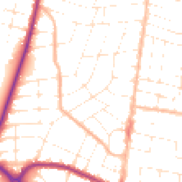
Daytime· 07:00 – 23:00
50.3dB

Night-time· 23:00 – 07:00
39.8dB