Lower Flat, 39 Truscott Avenue, Bournemouth, BH9 1DB
About Lower Flat
Lower Flat is a two-bedroom detached house in Bournemouth (BH9 1DB). It has a recorded floor area of 76 m² (around 818 sq ft) and construction records dating it to 1930-1949. Other recorded features include a conservatory. The latest certificate (July 2022) shows a C (score 72).
11 years since the last transfer (September 2015). Across 2013–2015, sale prices on this property compounded at 5.2% per year. Today's modelled estimate of £256,000 is 36.2% above the 2015 sale price.
What this property has
Inside
- Bedrooms2
- ConservatoryYes
Outside
- Private gardenYes
- ParkingOff road
Building
- RefurbishedYes
Everything you need to know about Lower Flat
The true value, the hidden risks and the full sale history, in one report.
Pick your report · every report is £14.99
One time fee only - money back guarantee

The data behind every report


Energy performance
EPC Rating
Get a survey for this property
Level 2 HomeBuyer Report
We've checked 10 risk factors against the available data for this property and believe a Level 2 HomeBuyer Report could be a suitable option for you.
From £545 · Includes VAT
Planning history
Lower Flat has no planning applications on record.
But the area is active
78 notable applications nearby — larger schemes and conversions that could reshape the street. The report maps them all.
Sales history & valuation
Lower Flat valuation sits well clear of the typical sold price in this postcode.
£256,000
Modelled from EPC, postcode comparables and a sale-price growth of 5.2% per year over 3 years.
£188,000
Growth on file: 5.2% per year over 3 years.
Sales timeline
20 September 2015Most recent
£188,000
+14.6%over 2 years3 January 2013
£164,000
Median price across the last 5 sales in BH9 1DB: £280,000 (2025–2021).
Nearby sales in BH9 1DB
34 Truscott Avenue, Bournemouth, BH9 1DB
Sold Mar 2025
£480,00031 Truscott Avenue, Bournemouth, BH9 1DB
Sold Jan 2025
£535,000First Floor Flat, 35 Truscott Avenue, Bournemouth, BH9 1DB
Sold Dec 2022
£280,00030a, Truscott Avenue, Bournemouth, BH9 1DB
Sold Mar 2022
£220,00044 Truscott Avenue, Bournemouth, BH9 1DB
Sold Sept 2021
£255,000
Versus other Truscott Avenue homes
Lower Flat outperforms the street on epc rating by a wide margin.
Price per m²
£2,474
Street avg £2,521
Floor Area
76 m²
Street avg 71 m²
Habitable Rooms
3 rooms
Street avg 3 rooms
CO₂ Emissions
2.4 t/year
Street avg 3.1 t/year
Everything you need to know about Lower Flat
The true value, the hidden risks and the full sale history, in one report.
Pick your report · every report is £14.99
One time fee only - money back guarantee
The data behind every report
Similar properties nearby
84a, First Floor Flat, Alma Road
BH9 1AN
3a, First Floor Flat, Cardigan Road
BH9 1BD
84a, Ground Floor Flat, Alma Road
BH9 1AN
84b, First Floor Flat, Alma Road
BH9 1AN
84c, Ground Floor Flat, Alma Road
BH9 1AN
54a, Ground Floor Flat, Wycliffe Road
BH9 1JS
1a, Flat 5, Cardigan Road
BH9 1BJ
5a, Flat, Brownen Road
BH9 1HH
The neighbourhood at a glance
Daytime road noise here sits well below conversation level — a quiet pocket of the postcode.
Crime
4/mo
Steady year-on-year across the wider district.
Nearest stop
0.1 km
Winton Recreation Ground — bus stop.
Closest school
0.4 km
St Luke's Church of England Primary School. 27 schools nearby.
Go deeper on the local area
A Local Area report breaks down crime, transport links, schools and air quality in depth.
Road noise across the postcode
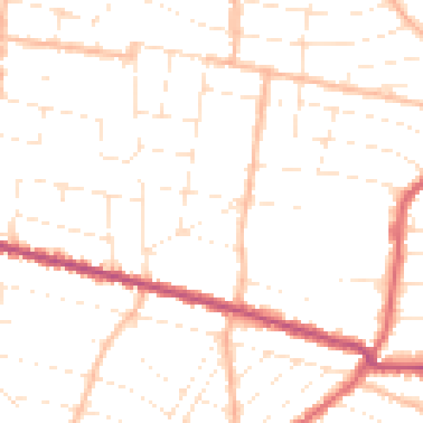
Daytime· 07:00 – 23:00
49.1dB
Night-time· 23:00 – 07:00
38.9dB