7 Howard Road, Bournemouth, BH8 9DX
About 7 Howard Road
7 Howard Road is a four-bedroom detached house in Bournemouth (BH8 9DX). It has a recorded floor area of 123 m² (around 1324 sq ft), construction records dating it to 1930-1949 and council tax band D. The latest certificate (September 2013) shows a D (score 68), on the cusp of jumping into the C band. When first surveyed in November 2008 the rating was E, the property has climbed 1 band since. Between certificates, wall efficiency went from Poor to Good, window efficiency went from Poor to Good and lighting went from Poor to Average; while hot-water efficiency dropped from Very Good to Good and main heating dropped from Very Good to Good. The recommended improvements would push it to C (score 78). The latest certificate is from September 2013, so improvements made since then won't be reflected.
Across 1998–2014, sale prices on this property compounded at 7% per year. Today's modelled estimate of £484,000 sits 55.1% above the 2014 sale of £312,000. On a £-per-square-foot basis, the last sale (£236/sq ft) was about 36.3% above the typical sold price in the postcode. Last sold in January 2014, so it's been off the market for around 12 years. Across the public record there are 4 sales, relatively high churn for a single property. At 123 m² it's 23% larger than the typical home in the postcode (100 m² median across 13 EPCs).
What this property has
Inside
- Bedrooms4
Everything you need to know about 7 Howard Road
The true value, the hidden risks and the full sale history, in one report.
Pick your report · every report is £14.99
One time fee only - money back guarantee

The data behind every report


Energy performance
7 Howard Road's EPC is over a decade old — improvements since won't be reflected.
EPC Expired
This certificate is over 10 years old and is no longer valid.Expired 04 Sept 2023
EPC Rating
Property Improvements
Changes detected from historical EPC data
Heating controls upgraded for better temperature management
Hot water efficiency decreased
Windows upgraded, improving insulation
Cavity wall insulation installed
Get a survey for this property
Level 2 HomeBuyer Report
We've checked 10 risk factors against the available data for this property and believe a Level 2 HomeBuyer Report could be a suitable option for you.
From £695 · Includes VAT
Planning history
7 Howard Road has no planning applications on record.
But the area is active
7 notable applications nearby — larger schemes and conversions that could reshape the street. The report maps them all.
Sales history & valuation
7 Howard Road has more than doubled in price since the earliest registered sale in 1998.
£484,000
Modelled from EPC, postcode comparables and a sale-price growth of 7.0% per year over 15 years.
£312,000
Growth on file: 7.0% per year over 15 years.
Sales timeline
17 January 2014Most recent
£312,000
+24.8%over 4 years29 March 2009
£250,000
+83.8%over 9 years31 January 2000
£136,000
+23.6%over 1 year23 July 1998
£110,000
Median price across the last 5 sales in BH8 9DX: £278,000 (2021–2019).
Nearby sales in BH8 9DX
2a, Howard Road, Bournemouth, BH8 9DX
Sold Dec 2021
£330,0002b, Howard Road, Bournemouth, BH8 9DX
Sold Aug 2021
£262,5002 Howard Road, Bournemouth, BH8 9DX
Sold Jun 2021
£303,500Flat 1, 1 Howard Road, Bournemouth, BH8 9DX
Sold Aug 2019
£262,000Flat 4, 11 Howard Road, Bournemouth, BH8 9DX
Sold Jan 2017
£160,000
Versus other Howard Road homes
EPC Rating for 7 Howard Road runs comfortably ahead of the street norm.
Price per m²
£2,537
Street avg £2,708
Floor Area
123 m²
Street avg 110 m²
Habitable Rooms
6 rooms
Street avg 4 rooms
CO₂ Emissions
4.0 t/year
Street avg 6.6 t/year
Everything you need to know about 7 Howard Road
The true value, the hidden risks and the full sale history, in one report.
Pick your report · every report is £14.99
One time fee only - money back guarantee
The data behind every report
Similar properties nearby
The neighbourhood at a glance
Daytime road noise here sits well below conversation level — a quiet pocket of the postcode.
Crime
14/mo
Steady year-on-year across the wider district.
Nearest stop
0.1 km
Howard Road — bus stop.
Closest school
0.7 km
Malmesbury Park Primary School. 28 schools nearby.
Go deeper on the local area
A Local Area report breaks down crime, transport links, schools and air quality in depth.
Road noise across the postcode
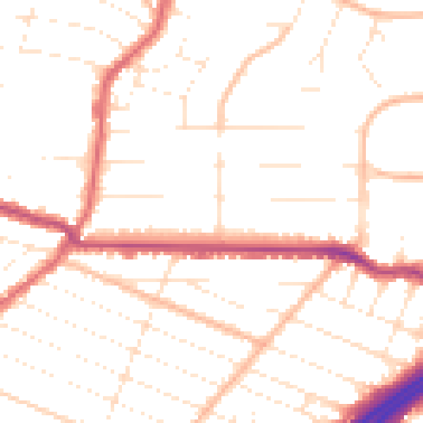
Daytime· 07:00 – 23:00
50.0dB

Night-time· 23:00 – 07:00
40.2dB