Flat 4, 11 Howard Road, Bournemouth, BH8 9DX
About Flat 4
Flat 4 is a two-bedroom detached house in Bournemouth (BH8 9DX). It has a recorded floor area of 50 m² (around 538 sq ft), construction records dating it to 2003-2006 and council tax band B. Tenure is freehold. At 50 m² this is the 2nd smallest of 4 units on EPC record in the building, where floor areas span 43–107 m². The building's EPC ratings span D to C, with this unit at the top. The latest certificate (January 2019) shows a C (score 72). When first surveyed in December 2008 the rating was D, the property has climbed 1 band since. Between certificates, lighting went from Very Poor to Good; while hot-water efficiency dropped from Average to Poor and main heating dropped from Poor to Very Poor. The recommended improvements would push it to B (score 81). Main heating runs on electricity.
At 50 m² it sits well below the postcode median (100 m² across 13 EPCs), making it one of the more compact homes locally. On energy efficiency it sits in the top 10% of properties in this postcode. Across 2009–2017, sale prices on this property compounded at 2.1% per year. Today's modelled estimate of £191,000 is 19.4% above the 2017 sale price. On a £-per-square-foot basis, the last sale (£297/sq ft) was about 84.5% above the typical sold price in the postcode. On the market in January 2017 and unlisted since — roughly 9 years.
What this property has
Inside
- Bedrooms2
- Bathrooms1
Outside
- Private gardenYes
- ParkingOff road
Building
- TenureFreehold
- Central heatingYes
Everything you need to know about Flat 4
The true value, the hidden risks and the full sale history, in one report.
Pick your report · every report is £14.99
One time fee only - money back guarantee

The data behind every report


Energy performance
Flat 4 ranks among the most efficient homes in the postcode for energy use.
EPC Rating
Property Improvements
Changes detected from historical EPC data
Heating system changed
Heating controls upgraded for better temperature management
Hot water efficiency decreased
More low energy lighting installed
Get a survey for this property
Level 3 Building Survey
Because the property has no mains gas supply, we believe a Level 3 building survey should be considered.
From £820 · Includes VAT
Planning history
Flat 4 has no planning applications on record.
But the area is active
7 notable applications nearby — larger schemes and conversions that could reshape the street. The report maps them all.
Sales history & valuation
£191,000
Modelled from EPC, postcode comparables and a sale-price growth of 2.1% per year over 8 years.
£160,000
Growth on file: 2.1% per year over 8 years.
Sales timeline
13 January 2017Most recent
£160,000
+17.6%over 7 years23 January 2009
£136,000
Median price across the last 5 sales in BH8 9DX: £278,000 (2021–2019).
Nearby sales in BH8 9DX
2a, Howard Road, Bournemouth, BH8 9DX
Sold Dec 2021
£330,0002b, Howard Road, Bournemouth, BH8 9DX
Sold Aug 2021
£262,5002 Howard Road, Bournemouth, BH8 9DX
Sold Jun 2021
£303,500Flat 1, 1 Howard Road, Bournemouth, BH8 9DX
Sold Aug 2019
£262,000Flat 2, 1 Howard Road, Bournemouth, BH8 9DX
Sold Jun 2016
£180,000
Versus other Howard Road homes
On floor area, Flat 4 runs well behind the street norm.
Price per m²
£3,200
Street avg £2,544
Floor Area
50 m²
Street avg 95 m²
Habitable Rooms
3 rooms
Street avg 4 rooms
CO₂ Emissions
2.0 t/year
Street avg 4.2 t/year
Everything you need to know about Flat 4
The true value, the hidden risks and the full sale history, in one report.
Pick your report · every report is £14.99
One time fee only - money back guarantee
The data behind every report
Similar properties nearby
637 639, Flat 6, Charminster Road
BH8 9RH
637 639, Flat 3, Charminster Road
BH8 9RH
637 639, Flat 1, Charminster Road
BH8 9RH
637 639, Flat 4, Charminster Road
BH8 9RH
424b, Flat 1, Holdenhurst Road
BH8 9AA
359a, Flat 2, Charminster Road
BH8 9QR
25c, Flat 1, Strouden Avenue
BH8 9HX
359a, Flat 3, Charminster Road
BH8 9QR
The neighbourhood at a glance
Daytime road noise here sits well below conversation level — a quiet pocket of the postcode.
Crime
14/mo
Steady year-on-year across the wider district.
Nearest stop
0.1 km
Howard Road — bus stop.
Closest school
0.7 km
Malmesbury Park Primary School. 28 schools nearby.
Go deeper on the local area
A Local Area report breaks down crime, transport links, schools and air quality in depth.
Road noise across the postcode
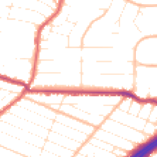
Daytime· 07:00 – 23:00
50.0dB

Night-time· 23:00 – 07:00
40.2dB