8 Bennett Road, Bournemouth, BH8 8QF
About 8 Bennett Road
8 Bennett Road is a two-bedroom property in Bournemouth (BH8 8QF). It has council tax band C.
Held since March 1999 — that's 27 years off the open market, well above the local norm. Only one transfer is on record with HM Land Registry, suggesting it has stayed in the same hands for a long time.
What this property has
Inside
- Bedrooms2
Everything you need to know about 8 Bennett Road
The true value, the hidden risks and the full sale history, in one report.
Pick your report · every report is £14.99
One time fee only - money back guarantee

The data behind every report


Energy performance
No EPC on record
This property doesn't have an Energy Performance Certificate yet. An EPC is required to sell or let — and unlocks our automated valuation.
Get a survey for this property
Level 2 HomeBuyer Report
We've checked 10 risk factors against the available data for this property and believe a Level 2 HomeBuyer Report could be a suitable option for you.
Planning history
8 Bennett Road has no planning applications on record.
But the area is active
34 notable applications nearby — larger schemes and conversions that could reshape the street. The report maps them all.
Sales history & valuation
8 Bennett Road has been held in the same hands since before 2000.
£69,000
Recorded with HM Land Registry.
Sales timeline
19 March 1999Most recent
£69,000
Median price across the last 5 sales in BH8 8QF: £279,950 (2023–2015).
Nearby sales in BH8 8QF
Everything you need to know about 8 Bennett Road
The true value, the hidden risks and the full sale history, in one report.
Pick your report · every report is £14.99
One time fee only - money back guarantee
The data behind every report
Similar properties nearby
1 Bennett Road
BH8 8QF
1 Capstone Gardens
BH8 8RU
1 Chelsea Gardens
BH8 8EL
1 Orcheston Road
BH8 8SP
1 Portchester Road
BH8 8JT
1 Stewart Close
BH8 8NT
1 Wessex Gate, Malmesbury Park Road
BH8 8PD
1 Avon Gardens
BH8 8BG
The neighbourhood at a glance
Rail-style transport is unusually close for this postcode.
Crime
14/mo
Steady year-on-year across the wider district.
Nearest stop
0.0 km
Malmesbury Park Primary School — bus stop.
Closest school
0.1 km
Malmesbury Park Primary School. 24 schools nearby.
Go deeper on the local area
A Local Area report breaks down crime, transport links, schools and air quality in depth.
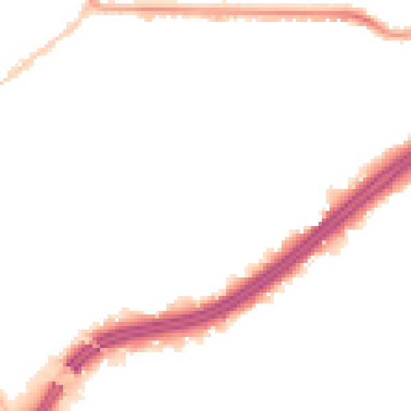
Road noise across the postcode
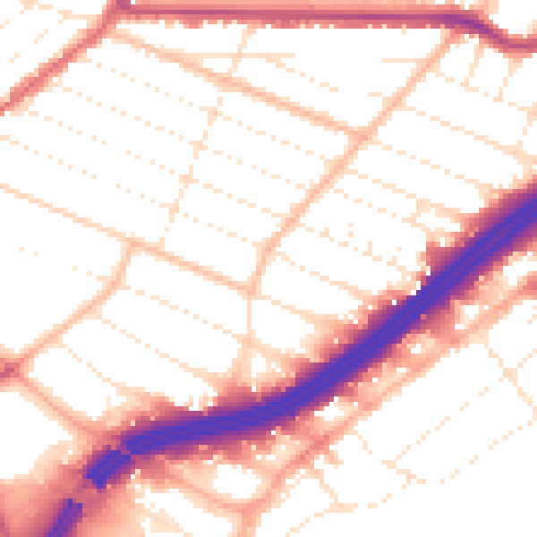
Daytime· 07:00 – 23:00
53.4dB
Night-time· 23:00 – 07:00
43.6dB