9 Bennett Road, Bournemouth, BH8 8QF
About 9 Bennett Road
9 Bennett Road is a one-bedroom semi-detached house in Bournemouth (BH8 8QF). It has a recorded floor area of 87 m² (around 936 sq ft), construction records dating it to 1900-1929 and council tax band C. The latest certificate (January 2015) shows a D (score 60), on the cusp of jumping into the C band. The recommended improvements would lift it to B (score 86), a 2-band jump. The latest certificate is from January 2015, so improvements made since then won't be reflected.
11 years since the last transfer (April 2015). Today's modelled estimate of £275,000 is 37.5% above the 2015 sale price.
What this property has
Inside
- Bedrooms1
- Bathrooms1
Outside
- Private gardenRear
Everything you need to know about 9 Bennett Road
The true value, the hidden risks and the full sale history, in one report.
Pick your report · every report is £14.99
One time fee only - money back guarantee

The data behind every report


Energy performance
Recommended upgrades on file would lift this property by multiple EPC bands.
EPC Expired
This certificate is over 10 years old and is no longer valid.Expired 29 Jan 2025
EPC Rating
Get a survey for this property
Level 3 Building Survey
Because the property was built before 1919, we believe a Level 3 building survey should be considered.
From £885 · Includes VAT
Planning history
9 Bennett Road has no planning applications on record.
But the area is active
34 notable applications nearby — larger schemes and conversions that could reshape the street. The report maps them all.
Sales history & valuation
9 Bennett Road valuation sits well clear of the typical sold price in this postcode.
£275,000
Modelled from EPC, postcode comparables.
£200,000
Recorded with HM Land Registry.
Sales timeline
30 April 2015Most recent
£200,000
Median price across the last 5 sales in BH8 8QF: £279,950 (2023–2014).
Nearby sales in BH8 8QF
Versus other Bennett Road homes
Habitable Rooms for 9 Bennett Road runs comfortably ahead of the street norm.
Price per m²
£2,299
Street avg £2,484
Floor Area
87 m²
Street avg 87 m²
Habitable Rooms
5 rooms
Street avg 4 rooms
CO₂ Emissions
4.2 t/year
Street avg 4.4 t/year
Everything you need to know about 9 Bennett Road
The true value, the hidden risks and the full sale history, in one report.
Pick your report · every report is £14.99
One time fee only - money back guarantee
The data behind every report
Similar properties nearby
1 Portchester Road
BH8 8JT
1 Capstone Gardens
BH8 8RU
1 Orcheston Road
BH8 8SP
1 Chelsea Gardens
BH8 8EL
1 Bennett Road
BH8 8QF
1 Wessex Gate, Malmesbury Park Road
BH8 8PD
1 Avon Gardens
BH8 8BG
1 St Leonards Road
BH8 8QH
The neighbourhood at a glance
Rail-style transport is unusually close for this postcode.
Crime
14/mo
Steady year-on-year across the wider district.
Nearest stop
0.0 km
Malmesbury Park Primary School — bus stop.
Closest school
0.1 km
Malmesbury Park Primary School. 24 schools nearby.
Go deeper on the local area
A Local Area report breaks down crime, transport links, schools and air quality in depth.
Road noise across the postcode
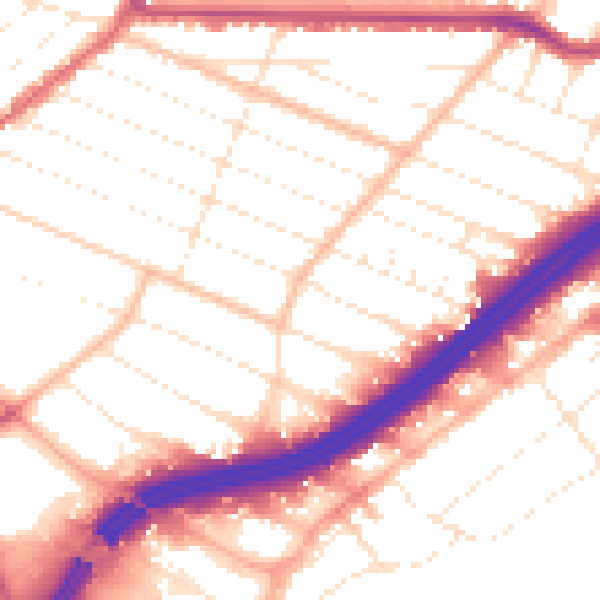
Daytime· 07:00 – 23:00
53.4dB

Night-time· 23:00 – 07:00
43.6dB