9 Ferris Close, Bournemouth, BH8 0AT
About 9 Ferris Close
9 Ferris Close is a three-bedroom detached house in Bournemouth (BH8 0AT). It has a recorded floor area of 91 m² (around 983 sq ft), construction records dating it to 1976-1982 and council tax band D. The latest certificate (November 2011) shows a D (score 61), on the cusp of jumping into the C band. The recommended improvements would push it to C (score 70). The latest certificate is from November 2011, so improvements made since then won't be reflected. The home occupies a cul-de-sac position.
At 91 m² it's 21.7% larger than the typical home in the postcode (75 m² median across 7 EPCs). Across 2009–2014, sale prices on this property compounded at 3.9% per year. Today's modelled estimate of £403,000 is 43.9% above the 2014 sale price. On a £-per-square-foot basis, the last sale (£285/sq ft) was about 18.6% below the postcode norm. On the market in May 2014 and unlisted since — roughly 12 years.
What this property has
Inside
- Bedrooms3
Outside
- Private gardenSouth-west-facing
- GarageYes
- Cul-de-sacYes
Building
- RefurbishedYes
Everything you need to know about 9 Ferris Close
The true value, the hidden risks and the full sale history, in one report.
Pick your report · every report is £14.99
One time fee only - money back guarantee

The data behind every report


Energy performance
9 Ferris Close's EPC is over a decade old — improvements since won't be reflected.
EPC Expired
This certificate is over 10 years old and is no longer valid.Expired 17 Nov 2021
EPC Rating
Get a survey for this property
Level 3 Building Survey
Because the property has been extended more than once, we believe a Level 3 building survey should be considered.
From £1,020 · Includes VAT
Planning history
9 Ferris Close has no planning applications on record.
A planning report still maps activity across the surrounding area and reads this property's extension & conversion potential.
Sales history & valuation
9 Ferris Close saw 3 transfers in just over a decade — high turnover for the postcode.
£403,000
Modelled from EPC, postcode comparables and a sale-price growth of 3.9% per year over 5 years.
£280,000
Growth on file: 3.9% per year over 5 years.
Sales timeline
20 May 2014Most recent
£280,000
+13.1%over 4 years26 November 2009
£247,500
+7.6%over 7 months14 April 2009
£230,000
Median price across the last 5 sales in BH8 0AT: £337,500 (2024–2013).
Nearby sales in BH8 0AT
Versus other Ferris Close homes
On floor area, 9 Ferris Close stands well clear of the street.
Price per m²
£3,067
Street avg £4,117
Floor Area
91 m²
Street avg 79 m²
Habitable Rooms
4 rooms
Street avg 3 rooms
CO₂ Emissions
4.3 t/year
Street avg 4.8 t/year
Everything you need to know about 9 Ferris Close
The true value, the hidden risks and the full sale history, in one report.
Pick your report · every report is £14.99
One time fee only - money back guarantee
The data behind every report
Similar properties nearby
1 Culford Close
BH8 0HX
1 Barrowgate Way
BH8 0HD
1 Braishfield Gardens
BH8 0QA
1 Calmore Close
BH8 0NN
1 Chesilbourne Grove
BH8 0BA
1 Downton Close
BH8 0EP
1 Ashstead Gardens
BH8 0EQ
1 Diamond Place
BH8 0FA
The neighbourhood at a glance
Crime
14/mo
Steady year-on-year across the wider district.
Nearest stop
0.1 km
Mill Road — bus stop.
Closest school
0.2 km
Bournemouth School for Girls. 22 schools nearby.
Go deeper on the local area
A Local Area report breaks down crime, transport links, schools and air quality in depth.
Road noise across the postcode
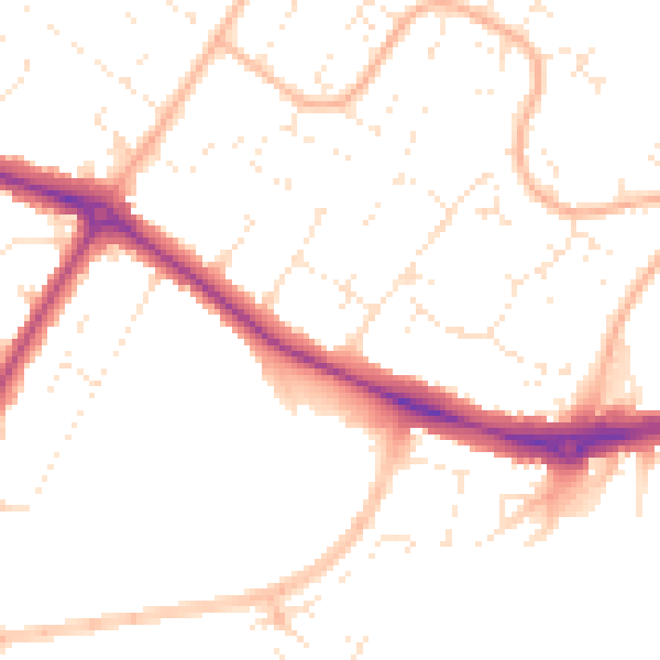
Daytime· 07:00 – 23:00
50.1dB

Night-time· 23:00 – 07:00
40.1dB