11 Ferris Close, Bournemouth, BH8 0AT
About 11 Ferris Close
11 Ferris Close is a two-bedroom detached house in Bournemouth (BH8 0AT). It has a recorded floor area of 90 m² (around 964 sq ft), construction records dating it to 1967-1975 and council tax band D. The latest certificate (February 2012) shows an E (score 52), well below the UK norm with real room to improve. The recommended improvements would push it to D (score 64). The latest certificate is from February 2012, so improvements made since then won't be reflected.
Today's modelled estimate of £359,000 sits 52.8% above the 2013 sale of £235,000. On a £-per-square-foot basis, the last sale (£244/sq ft) was about 21.9% below the postcode norm. At 90 m² it's 19.4% larger than the typical home in the postcode (75 m² median across 7 EPCs). 13 years since the last transfer (July 2013).
What this property has
Inside
- Bedrooms2
- Open-plan layoutYes
- Dining roomYes
Outside
- Private gardenYes
- GarageDetached
Everything you need to know about 11 Ferris Close
The true value, the hidden risks and the full sale history, in one report.
Pick your report · every report is £14.99
One time fee only - money back guarantee

The data behind every report


Energy performance
11 Ferris Close's EPC is over a decade old — improvements since won't be reflected.
EPC Expired
This certificate is over 10 years old and is no longer valid.Expired 15 Feb 2022
EPC Rating
Get a survey for this property
Level 2 HomeBuyer Report
We've checked 10 risk factors against the available data for this property and believe a Level 2 HomeBuyer Report could be a suitable option for you.
From £595 · Includes VAT
Planning history
11 Ferris Close has no planning applications on record.
A planning report still maps activity across the surrounding area and reads this property's extension & conversion potential.
Sales history & valuation
11 Ferris Close valuation sits well clear of the typical sold price in this postcode.
£359,000
Modelled from EPC, postcode comparables.
£235,000
Recorded with HM Land Registry.
Sales timeline
11 July 2013Most recent
£235,000
Median price across the last 5 sales in BH8 0AT: £337,500 (2024–2014).
Nearby sales in BH8 0AT
Versus other Ferris Close homes
On price per m², 11 Ferris Close runs well behind the street norm.
Price per m²
£2,625
Street avg £4,190
Floor Area
90 m²
Street avg 79 m²
Habitable Rooms
4 rooms
Street avg 3 rooms
CO₂ Emissions
4.7 t/year
Street avg 4.7 t/year
Everything you need to know about 11 Ferris Close
The true value, the hidden risks and the full sale history, in one report.
Pick your report · every report is £14.99
One time fee only - money back guarantee
The data behind every report
Similar properties nearby
1 Downton Close
BH8 0EP
1 Bucklers Way
BH8 0EW
1 Ashurst Road
BH8 0NW
1 Barrowgate Way
BH8 0HD
1 Braishfield Gardens
BH8 0QA
1 Calmore Close
BH8 0NN
1 Culford Close
BH8 0HX
1 Chesilbourne Grove
BH8 0BA
The neighbourhood at a glance
Crime
14/mo
Steady year-on-year across the wider district.
Nearest stop
0.1 km
Mill Road — bus stop.
Closest school
0.2 km
Bournemouth School for Girls. 22 schools nearby.
Go deeper on the local area
A Local Area report breaks down crime, transport links, schools and air quality in depth.
Road noise across the postcode
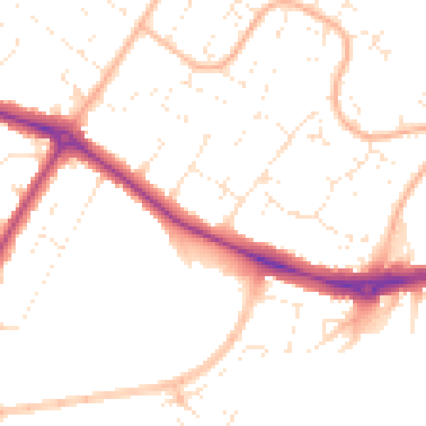
Daytime· 07:00 – 23:00
50.1dB

Night-time· 23:00 – 07:00
40.1dB