2 Rosebery Road, Bournemouth, BH5 2JH
About 2 Rosebery Road
2 Rosebery Road is a detached house in Bournemouth (BH5 2JH). It has a recorded floor area of 77 m² (around 829 sq ft), construction records dating it to 1900-1929 and council tax band B. The latest certificate (May 2024) shows a D (score 56), a step below the typical UK home. The rating has held steady at D across 2 certificates since January 2009. Between certificates, hot-water efficiency went from Average to Good and main heating went from Average to Good; while window efficiency dropped from Good to Average. At 77 m² this is the 23rd smallest of 46 units on EPC record in the building, where floor areas span 27–157 m². The building's EPC ratings span E to C across 46 units on file.
On a £-per-square-foot basis, the last sale (£314/sq ft) was about 62.4% above the typical sold price in the postcode. Most recent transfer: August 2024 at £260,000.
Everything you need to know about 2 Rosebery Road
The true value, the hidden risks and the full sale history, in one report.
Pick your report · every report is £14.99
One time fee only - money back guarantee

The data behind every report


Energy performance
EPC Rating
Property Improvements
Changes detected from historical EPC data
Hot water efficiency improved
Get a survey for this property
Level 3 Building Survey
Because the property was built before 1919, we believe a Level 3 building survey should be considered.
From £885 · Includes VAT
Planning history
2 Rosebery Road has no planning applications on record.
But the area is active
14 notable applications nearby — larger schemes and conversions that could reshape the street. The report maps them all.
Sales history & valuation
2 Rosebery Road valuation sits well clear of the typical sold price in this postcode.
£250,000
Modelled from EPC, postcode comparables.
£260,000
Recorded with HM Land Registry.
Sales timeline
27 August 2024Most recent
£260,000
Median price across the last 5 sales in BH5 2JH: £360,000 (2025–2022).
Nearby sales in BH5 2JH
Versus other Rosebery Road homes
Years Held for 2 Rosebery Road lags the street by a wide margin.
Price per m²
£3,377
Street avg £3,342
Floor Area
77 m²
Street avg 56 m²
Habitable Rooms
4 rooms
Street avg 3 rooms
CO₂ Emissions
3.8 t/year
Street avg 2.4 t/year
Everything you need to know about 2 Rosebery Road
The true value, the hidden risks and the full sale history, in one report.
Pick your report · every report is £14.99
One time fee only - money back guarantee
The data behind every report
Similar properties nearby
1 Colville Close
BH5 2AP
1 St James S Square
BH5 2BX
1 Harcourt Road
BH5 2JG
1 Julian Terrace, Seabourne Road
BH5 2JE
1 Livingstone Road
BH5 2AS
1 Deans Road
BH5 2DA
1 Norwood Place
BH5 2AT
1 Stourfield Road
BH5 2AR
The neighbourhood at a glance
Rail-style transport is unusually close for this postcode.
Crime
6/mo
Rising year-on-year across the wider district.
Nearest stop
0.1 km
Hannington Road — bus stop.
Closest school
0.3 km
Pokesdown Community Primary School. 17 schools nearby.
Go deeper on the local area
A Local Area report breaks down crime, transport links, schools and air quality in depth.
Road noise across the postcode
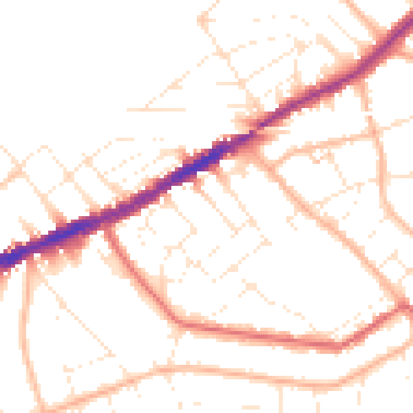
Daytime· 07:00 – 23:00
49.7dB

Night-time· 23:00 – 07:00
40.1dB