1 Stourfield Road, Bournemouth, BH5 2AR
About 1 Stourfield Road
1 Stourfield Road is a two-bedroom detached house in Bournemouth (BH5 2AR). It has a recorded floor area of 52 m² (around 560 sq ft), construction records dating it to 1996-2002 and council tax band C. The latest certificate (April 2024) shows a D (score 62), on the cusp of jumping into the C band. The rating has held steady at D across 2 certificates since July 2020. Between certificates, wall efficiency went from Poor to Good and roof efficiency went from Very Poor to Good; while hot-water efficiency dropped from Good to Very Poor. The recommended improvements would lift it to B (score 84), a 2-band jump.
It hasn't traded since March 2007, a hold of 19 years that's notably long for the area. That sale landed at the peak of the pre-credit-crunch market, which is a useful reference point when interpreting the price. At 52 m² it sits well below the postcode median (75 m² across 43 EPCs), making it one of the more compact homes locally. Today's modelled estimate of £332,000 is 38.3% above the 2007 sale price. On a £-per-square-foot basis, the last sale (£429/sq ft) was about 128.2% above the typical sold price in the postcode.
What this property has
Inside
- Bedrooms2
- Bathrooms1
- Open-plan layoutYes
Outside
- Private gardenYes
Everything you need to know about 1 Stourfield Road
The true value, the hidden risks and the full sale history, in one report.
Pick your report · every report is £14.99
One time fee only - money back guarantee

The data behind every report


Energy performance
Recommended upgrades on file would lift this property by multiple EPC bands.
EPC Rating
Property Improvements
Changes detected from historical EPC data
Heating controls upgraded for better temperature management
Hot water system changed
Wall insulation upgraded
Roof insulation improved
Floor insulation added or improved
Get a survey for this property
Level 3 Building Survey
Because the property has solid (non-cavity) walls, we believe a Level 3 building survey should be considered.
From £955 · Includes VAT
Planning history
1 Stourfield Road has no planning applications on record.
But the area is active
14 notable applications nearby — larger schemes and conversions that could reshape the street. The report maps them all.
Sales history & valuation
The latest sale landed at the peak of the pre-credit-crunch market — a high-water reference point.
£332,000
Modelled from EPC, postcode comparables.
£240,000
Recorded with HM Land Registry.
Sales timeline
9 March 2007Most recent
£240,000
Median price across the last 5 sales in BH5 2AR: £255,000 (2025–2023).
Nearby sales in BH5 2AR
2 Stourfield Road, Bournemouth, BH5 2AR
Sold Aug 2025
£353,00044a, Stourfield Road, Bournemouth, BH5 2AR
Sold Nov 2024
£230,00042a, Stourfield Road, Bournemouth, BH5 2AR
Sold Sept 2024
£247,00026 Stourfield Road, Bournemouth, BH5 2AR
Sold Jun 2024
£400,00038 Stourfield Road, Bournemouth, BH5 2AR
Sold Aug 2023
£255,000
Versus other Stourfield Road homes
On years held, 1 Stourfield Road stands well clear of the street.
Price per m²
£4,615
Street avg £3,161
Floor Area
52 m²
Street avg 86 m²
Habitable Rooms
4 rooms
Street avg 4 rooms
CO₂ Emissions
2.3 t/year
Street avg 3.7 t/year
Everything you need to know about 1 Stourfield Road
The true value, the hidden risks and the full sale history, in one report.
Pick your report · every report is £14.99
One time fee only - money back guarantee
The data behind every report
Similar properties nearby
The neighbourhood at a glance
Rail-style transport is unusually close for this postcode.
Crime
6/mo
Rising year-on-year across the wider district.
Nearest stop
0.1 km
Woodside Road Car Park — bus stop.
Closest school
0.2 km
Pokesdown Community Primary School. 19 schools nearby.
Go deeper on the local area
A Local Area report breaks down crime, transport links, schools and air quality in depth.
Road noise across the postcode
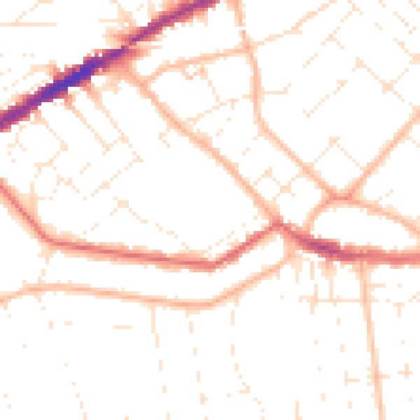
Daytime· 07:00 – 23:00
49.8dB

Night-time· 23:00 – 07:00
39.1dB