2a, Julian Terrace, Seabourne Road, Bournemouth, BH5 2JE
About 2a
2a is a mid-terrace house in Bournemouth (BH5 2JE). It has a recorded floor area of 65 m² (around 700 sq ft) and construction records dating it to 1900-1929. The latest certificate (February 2026) shows a D (score 62), on the cusp of jumping into the C band. When first surveyed in April 2016 the rating was E, the property has climbed 1 band since. Between certificates, wall efficiency went from Very Poor to Poor; while lighting dropped from Very Good to Good. The recommended improvements would push it to C (score 77). This certificate was lodged in the last six months, so the rating reflects current condition. At 65 m² this is the 4th smallest of 6 units on EPC record in the building, where floor areas span 59–67 m². The building's EPC ratings span D to C, with this unit at the bottom.
Across 1997–2016, sale prices on this property compounded at 8.5% per year. Today's modelled estimate of £195,000 is 30% above the 2016 sale price. On a £-per-square-foot basis, the last sale (£214/sq ft) was about 35.6% above the typical sold price in the postcode. 9 years since the last transfer (December 2016).
Everything you need to know about 2a
The true value, the hidden risks and the full sale history, in one report.
Pick your report · every report is £14.99
One time fee only - money back guarantee

The data behind every report


Energy performance
The EPC has just been inspected, so the rating reflects current condition.
EPC Rating
Property Improvements
Changes detected from historical EPC data
Wall insulation improved
Get a survey for this property
Level 3 Building Survey
Because the property was built before 1919, we believe a Level 3 building survey should be considered.
From £820 · Includes VAT
Planning history
2a has no planning applications on record.
But the area is active
14 notable applications nearby — larger schemes and conversions that could reshape the street. The report maps them all.
Sales history & valuation
Price for 2a has grown more than fourfold since the 1997 starting point.
£195,000
Modelled from EPC, postcode comparables and a sale-price growth of 8.5% per year over 19 years.
£150,000
Growth on file: 8.5% per year over 19 years.
Sales timeline
9 December 2016Most recent
£150,000
+29.9%over 9 years5 July 2007
£115,500
+272.6%over 9 years18 August 1997
£31,000
Median price across the last 5 sales in BH5 2JE: £165,000 (2022–2016).
Nearby sales in BH5 2JE
1a, Julian Terrace, Seabourne Road, Bournemouth, BH5 2JE
Sold Apr 2022
£194,0004a, Julian Terrace, Seabourne Road, Bournemouth, BH5 2JE
Sold May 2021
£128,0001 Julian Terrace, Seabourne Road, Bournemouth, BH5 2JE
Sold Oct 2017
£165,0002 Julian Terrace, Seabourne Road, Bournemouth, BH5 2JE
Sold Feb 2015
£130,0003 Julian Terrace, Seabourne Road, Bournemouth, BH5 2JE
Sold Jun 2007
£125,000
Versus other Julian Terrace homes
2a outperforms the street on price per m² by a wide margin.
Price per m²
£2,308
Street avg £1,975
Floor Area
65 m²
Street avg 63 m²
Habitable Rooms
3 rooms
Street avg 3 rooms
CO₂ Emissions
3.0 t/year
Street avg 2.5 t/year
Everything you need to know about 2a
The true value, the hidden risks and the full sale history, in one report.
Pick your report · every report is £14.99
One time fee only - money back guarantee
The data behind every report
Similar properties nearby
The neighbourhood at a glance
Rail-style transport is unusually close for this postcode.
Crime
6/mo
Rising year-on-year across the wider district.
Nearest stop
0.1 km
Darracott Road — bus stop.
Closest school
0.2 km
Pokesdown Community Primary School. 19 schools nearby.
Go deeper on the local area
A Local Area report breaks down crime, transport links, schools and air quality in depth.
Road noise across the postcode
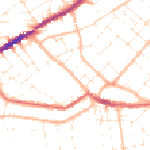
Daytime· 07:00 – 23:00
50.0dB

Night-time· 23:00 – 07:00
39.3dB