Flat 8, 2 Harvey Road, Bournemouth, BH5 2AD
About Flat 8
Flat 8 is a two-bedroom semi-detached house in Bournemouth (BH5 2AD). It has a recorded floor area of 54 m² (around 581 sq ft), construction records dating it to 2003-2006 and council tax band B. At 54 m² this is the 7th smallest of 10 units on EPC record in the building, where floor areas span 34–82 m². The building's EPC ratings span C to B, with this unit at the bottom. The latest certificate (July 2018) shows a C (score 80), near the top of the C band.
Held since April 2007 — that's 19 years off the open market, well above the local norm. That sale landed at the peak of the pre-credit-crunch market, which is a useful reference point when interpreting the price. On a £-per-square-foot basis, the last sale (£305/sq ft) was about 22.3% above the typical sold price in the postcode.
What this property has
Inside
- Bedrooms2
- Bathrooms1
Outside
- ParkingOff road
Building
- RefurbishedYes
Everything you need to know about Flat 8
The true value, the hidden risks and the full sale history, in one report.
Pick your report · every report is £14.99
One time fee only - money back guarantee

The data behind every report


Energy performance
Flat 8's carbon output is low for the local stock.
EPC Rating
Get a survey for this property
Level 2 HomeBuyer Report
We've checked 10 risk factors against the available data for this property and believe a Level 2 HomeBuyer Report could be a suitable option for you.
From £495 · Includes VAT
Planning history
Flat 8 has no planning applications on record.
But the area is active
14 notable applications nearby — larger schemes and conversions that could reshape the street. The report maps them all.
Sales history & valuation
The latest sale landed at the peak of the pre-credit-crunch market — a high-water reference point.
£194,000
Modelled from EPC, postcode comparables.
£177,500
Recorded with HM Land Registry.
Sales timeline
22 April 2007Most recent
£177,500
Median price across the last 5 sales in BH5 2AD: £205,000 (2025–2021).
Nearby sales in BH5 2AD
Rear Flat, 25 Harvey Road, Bournemouth, BH5 2AD
Sold Oct 2025
£250,0005 Harvey Road, Bournemouth, BH5 2AD
Sold Mar 2025
£575,000Flat 2, 2 Harvey Road, Bournemouth, BH5 2AD
Sold Aug 2024
£190,000Flat 7, 2 Harvey Road, Bournemouth, BH5 2AD
Sold Sept 2021
£205,000Flat 3, 23 Harvey Road, Bournemouth, BH5 2AD
Sold Sept 2021
£155,000
Versus other Harvey Road homes
EPC Rating for Flat 8 runs comfortably ahead of the street norm.
Price per m²
£3,287
Street avg £2,958
Floor Area
54 m²
Street avg 56 m²
Habitable Rooms
3 rooms
Street avg 3 rooms
CO₂ Emissions
1.1 t/year
Street avg 1.8 t/year
Everything you need to know about Flat 8
The true value, the hidden risks and the full sale history, in one report.
Pick your report · every report is £14.99
One time fee only - money back guarantee
The data behind every report
Similar properties nearby
24a, Lower Flat, Morley Road
BH5 2JL
11a, Flat 1, Portman Terrace, Seabourne Road
BH5 2HP
138a, Flat 1, Parkwood Road
BH5 2BW
142a, Flat 1, Seabourne Road
BH5 2HZ
10a, Flat 1, Portman Terrace, Seabourne Road
BH5 2HP
30a, Flat 1, Cromwell Road
BH5 2JN
10a, Flat 2, Portman Terrace, Seabourne Road
BH5 2HP
12a, Flat 1, Portman Terrace, Seabourne Road
BH5 2HP
The neighbourhood at a glance
Rail-style transport is unusually close for this postcode.
Crime
6/mo
Rising year-on-year across the wider district.
Nearest stop
0.1 km
Corpus Christi School — bus stop.
Closest school
0.2 km
Corpus Christi Catholic Primary School. 18 schools nearby.
Go deeper on the local area
A Local Area report breaks down crime, transport links, schools and air quality in depth.
Road noise across the postcode
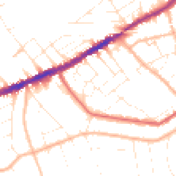
Daytime· 07:00 – 23:00
49.8dB

Night-time· 23:00 – 07:00
39.8dB