Flat 3, 4 Beechwood Avenue, Bournemouth, BH5 1LX
About Flat 3
Flat 3 is a two-bedroom end-of-terrace house in Bournemouth (BH5 1LX). It has a recorded floor area of 55 m² (around 592 sq ft), construction records dating it to 1900-1929 and council tax band B. At 55 m² this is the 4th smallest of 5 units on EPC record in the building, where floor areas span 47–116 m². The building's EPC ratings span D to B across 5 units on file. Other recorded features include a conservatory. The latest certificate (May 2025) shows a C (score 76), near the top of the C band.
Untraded for 19 years, with the last transfer in February 2007. That sale landed at the peak of the pre-credit-crunch market, which is a useful reference point when interpreting the price. Today's modelled estimate of £256,000 is 15.6% above the 2007 sale price. On a £-per-square-foot basis, the last sale (£374/sq ft) was about 55.5% above the typical sold price in the postcode. At 55 m² it's 20.3% smaller than the typical home in the postcode (69 m² median across 24 EPCs).
What this property has
Inside
- Bedrooms2
- Bathrooms2
- EnsuiteYes
- ConservatoryYes
Outside
- Private gardenYes
- ParkingAllocated
Building
- RefurbishedYes
Everything you need to know about Flat 3
The true value, the hidden risks and the full sale history, in one report.
Pick your report · every report is £14.99
One time fee only - money back guarantee

The data behind every report


Energy performance
Flat 3's carbon output is low for the local stock.
EPC Rating
Get a survey for this property
Level 3 Building Survey
Because the property was built before 1919, we believe a Level 3 building survey should be considered.
From £885 · Includes VAT
Planning history
Flat 3 has no planning applications on record.
But the area is active
5 notable applications nearby — larger schemes and conversions that could reshape the street. The report maps them all.
Sales history & valuation
The latest sale landed at the peak of the pre-credit-crunch market — a high-water reference point.
£256,000
Modelled from EPC, postcode comparables.
£221,500
Recorded with HM Land Registry.
Sales timeline
28 February 2007Most recent
£221,500
Median price across the last 5 sales in BH5 1LX: £237,500 (2025–2022).
Nearby sales in BH5 1LX
Flat 6, 6 Beechwood Avenue, Bournemouth, BH5 1LX
Sold Feb 2025
£252,000Flat 1, 2 Beechwood Avenue, Bournemouth, BH5 1LX
Sold Jan 2024
£222,500Flat 4, 2 Beechwood Avenue, Bournemouth, BH5 1LX
Sold Dec 2022
£237,500Flat 3, 6 Beechwood Avenue, Bournemouth, BH5 1LX
Sold Feb 2022
£307,500Flat 4, 6 Beechwood Avenue, Bournemouth, BH5 1LX
Sold Feb 2022
£236,000
Versus other Beechwood Avenue homes
Flat 3 outperforms the street on price per m² by a wide margin.
Price per m²
£4,027
Street avg £3,075
Floor Area
55 m²
Street avg 78 m²
Habitable Rooms
3 rooms
Street avg 4 rooms
CO₂ Emissions
1.5 t/year
Street avg 3.2 t/year
Everything you need to know about Flat 3
The true value, the hidden risks and the full sale history, in one report.
Pick your report · every report is £14.99
One time fee only - money back guarantee
The data behind every report
Similar properties nearby
18a, Flat 1, Browning Avenue
BH5 1NN
12 14, Flat D, Roumelia Lane
BH5 1EU
18a, Flat 2, Browning Avenue
BH5 1NN
12 14, Flat A, Roumelia Lane
BH5 1EU
22 24, Flat 2, Crabton Close Road
BH5 1HN
22 24, Flat 11, Crabton Close Road
BH5 1HN
22 24, Flat 12, Crabton Close Road
BH5 1HN
22 24, Flat 3, Crabton Close Road
BH5 1HN
The neighbourhood at a glance
Reported crime in the wider district is trending notably upward year-on-year.
Crime
6/mo
Rising year-on-year across the wider district.
Nearest stop
0.1 km
Shelley Manor — bus stop.
Closest school
0.6 km
Corpus Christi Catholic Primary School. 17 schools nearby.
Go deeper on the local area
A Local Area report breaks down crime, transport links, schools and air quality in depth.
Road noise across the postcode
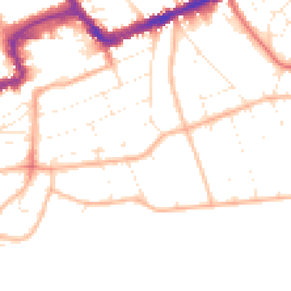
Daytime· 07:00 – 23:00
50.0dB

Night-time· 23:00 – 07:00
40.0dB