11 Barbers Wharf, Poole, BH15 1ZB
About 11 Barbers Wharf
11 Barbers Wharf is a three-bedroom mid-terrace house in Poole (BH15 1ZB). It has a recorded floor area of 127 m² (around 1367 sq ft), construction records dating it to 1991-1995 and council tax band E. The latest certificate (April 2024) shows a D (score 55), a step below the typical UK home. When first surveyed in March 2024 the rating was E, the property has climbed 1 band since. Between certificates, window efficiency went from Poor to Average. Main heating runs on electricity. The property has underfloor heating on record, all of which lower running costs and tend to lift resale appeal. Other recorded features include a balcony.
At 127 m² the property is well over the postcode median (75 m² across 34 EPCs), placing it in the larger end of the local stock. It lags the bulk of the postcode on energy efficiency (less efficient than 85% of similar EPCs). A recent sale: £385,000 in February 2025. 2 planning records sit against the property, 1 approved, 1 refused. Past consents include a loft conversion, meaningful when judging how the property has evolved. Across 1996–2025, sale prices on this property compounded at 5.9% per year. On a £-per-square-foot basis, the last sale (£282/sq ft) was about 15.4% above the typical sold price in the postcode.
Know exactly what you're buying at 11 Barbers Wharf
Before you offer, see what the listing won't tell you, the true value, the red flags and the full history.
Already flagged here
Valuation
against the asking price
Risks
planning & flood
Sold prices
similar homes nearby
Trends
the local market
What this property has
Inside
- Bedrooms3
- Bathrooms3
- EnsuiteYes
Outside
- BalconyYes
Building
- Underfloor heatingYes
- RefurbishedYes
Energy performance
EPC Rating
Property Improvements
Changes detected from historical EPC data
Windows upgraded, improving insulation
Planning history
- Jun 2002Loft ConversionFullIn report
Convert existing roofspace into habitable accommodation and form roof lights on the south-east elevation and roof lights and roof balconies on the north-west elevation (revised scheme).
- Documents
- 22 docs on file
- Reference
- 02/36253/001/F
- Feb 2002Loft ConversionFullIn report
Convert existing roofspace into habitable accommodation and form roof lights on the south east roof elevation and roof lights and roof balconies on the north west elevation
- Documents
- 11 docs on file
- Reference
- 01/36253/000/F
We flagged 3 things worth checking at 11 Barbers Wharf
Independent checks surfaced things a buyer would want to understand before offering. The report explains each one in full, with the underlying data and what to ask.
- Signs of HMO activity in the area
- Larger development activity nearby
- Environmental risk flagged
30-day money-back guarantee
Sales history & valuation
11 Barbers Wharf has more than quadrupled in price since its earliest registered sale in 1996.
£407,000
Modelled from EPC, postcode comparables and a sale-price growth of 5.9% per year over 29 years.
£385,000
Growth on file: 5.9% per year over 29 years.
Sales timeline
27 February 2025Most recent
£385,000
+13.2%over 19 years11 November 2005
£340,000
+353.3%over 9 years28 August 1996
£75,000
Median price across the last 5 sales in BH15 1ZB: £318,000 (2025–2024).
Everything we know about 11 Barbers Wharf, in one report
What it's really worth, what could be wrong, and the planning, sales and area data in full.
What we flagged
- Signs of HMO activity in the area
- Larger development activity nearby
- Environmental risk flagged

Versus other Barbers Wharf homes
EPC Rating for 11 Barbers Wharf lags the street by a wide margin.
Price per m²
£3,031
Street avg £3,329
Floor Area
127 m²
Street avg 75 m²
Habitable Rooms
4 rooms
Street avg 3 rooms
CO₂ Emissions
4.5 t/year
Street avg 2.2 t/year
Similar properties nearby
1 Ballard Road
BH15 1RA
1 Labrador Drive
BH15 1UX
1 Emerson Close
BH15 1QU
1 Angel Mews, St Aubyns Court
BH15 1LT
1 Dolphin Quays, The Quay
BH15 1HH
1 Lander Close
BH15 1UL
1 Green Gardens
BH15 1XX
1 Market Street
BH15 1NA
The neighbourhood at a glance
Crime
6/mo
Steady year-on-year across the wider district.
Nearest stop
0.1 km
Lifeboat Station — bus stop.
Closest school
0.7 km
Old Town Infant School and Nursery. 12 schools nearby.
Go deeper on the local area
The full report breaks down crime, transport links, schools and air quality in depth.
Road noise across the postcode
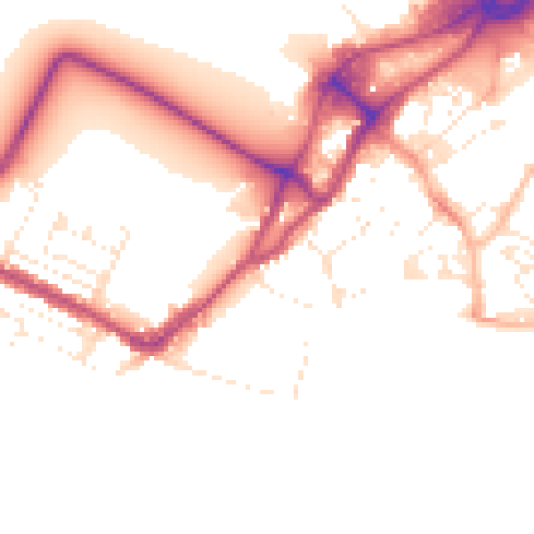
Daytime· 07:00 – 23:00
51.1dB

Night-time· 23:00 – 07:00
42.8dB