26 Park Drive, Bradford, BD9 4DT
About 26 Park Drive
26 Park Drive is a two-bedroom semi-detached house in Bradford (BD9 4DT). It has a recorded floor area of 451 m² (around 4855 sq ft), construction records dating it to before 1900 and council tax band F. The latest certificate (June 2023) shows a C (score 80), near the top of the C band. When first surveyed in July 2016 the rating was E, the property has climbed 2 bands since. Between certificates, wall efficiency went from Very Poor to Average, window efficiency went from Very Poor to Good and hot-water efficiency went from Very Poor to Good; while roof efficiency dropped from Good to Very Poor. The recommended improvements would push it to B (score 83).
At 451 m² the property is well over the postcode median (205 m² across 14 EPCs), placing it in the larger end of the local stock. Its energy rating outperforms most of the postcode (better than 79% of similar EPCs). 3 planning records sit against the property, 1 approved, 1 refused. Past consents include tree works, meaningful when judging how the property has evolved. Across 1997–2017, sale prices on this property compounded at 4.7% per year. Today's modelled estimate of £548,000 is 46.1% above the 2017 sale price. On a £-per-square-foot basis, the last sale (£77/sq ft) was about 51.2% above the typical sold price in the postcode. On the market in January 2017 and unlisted since — roughly 9 years.
What this property has
Inside
- Bedrooms2
- Bathrooms1
- Utility roomYes
- EnsuiteYes
Outside
- DrivewayYes
Building
- Central heatingYes
- RefurbishedYes
Everything you need to know about 26 Park Drive
The true value, the hidden risks and the full sale history, in one report.
30-day money-back guarantee

The data behind every report


Energy performance
26 Park Drive's carbon output runs well above what efficient homes in the postcode produce.
EPC Rating
Property Improvements
Changes detected from historical EPC data
Heating controls upgraded for better temperature management
Hot water efficiency improved
Roof insulation improved
More low energy lighting installed
Heating controls upgraded for better temperature management
Hot water system upgraded
Single glazing replaced with double or better glazing
Cavity wall insulation installed
Solar PV panels (50 kWp) installed
Planning history
A recent planning application at 26 Park Drive was refused — worth checking the council file.
- Mar 2026ExtensionFullIn report
Car port to the front
- Agent
- Belmont Design Services Ltd
- Documents
- 9 docs on file
- Reference
- 25/04717/HOU
- Jun 2013Tree WorksTreesIn report
T1 - Yew Tree - work to tree(I would advise a max reduction of 1.5 metres as this is a fastigiate upright growing specimen), T2 - Sycamore - Fell, T3 - Ornamental Cherry - Fell and replace
- Documents
- 3 docs on file
- Reference
- 13/01990/CPN
We flagged 2 things worth checking at 26 Park Drive
Independent checks surfaced things a buyer would want to understand before offering. The report explains each one in full, with the underlying data and what to ask.
- Signs of HMO activity in the area
- A planning decision worth checking
30-day money-back guarantee
Sales history & valuation
26 Park Drive has more than doubled in price since the earliest registered sale in 1997.
£548,000
Modelled from EPC, postcode comparables and a sale-price growth of 4.7% per year over 20 years.
£375,000
Growth on file: 4.7% per year over 20 years.
Sales timeline
20 January 2017Most recent
£375,000
+146.7%over 19 years7 July 1997
£152,000
Median price across the last 5 sales in BD9 4DT: £229,000 (2024–2008).
Nearby sales in BD9 4DT
Versus other Park Drive homes
On epc rating, 26 Park Drive stands well clear of the street.
Price per m²
£831
Street avg £821
Floor Area
451 m²
Street avg 288 m²
Habitable Rooms
12 rooms
Street avg 9 rooms
CO₂ Emissions
12.0 t/year
Street avg 17.5 t/year
Everything you need to know about 26 Park Drive
The true value, the hidden risks and the full sale history, in one report.
30-day money-back guarantee
The data behind every report
Similar properties nearby
The neighbourhood at a glance
Rail-style transport is unusually close for this postcode.
Crime
8/mo
Rising year-on-year across the wider district.
Nearest stop
0.3 km
Ashwell Road Parsons Rd — bus stop.
Closest school
0.4 km
Heaton St Barnabas' CofE Aided Primary School. 49 schools nearby.
Go deeper on the local area
The full report breaks down crime, transport links, schools and air quality in depth.
Road noise across the postcode
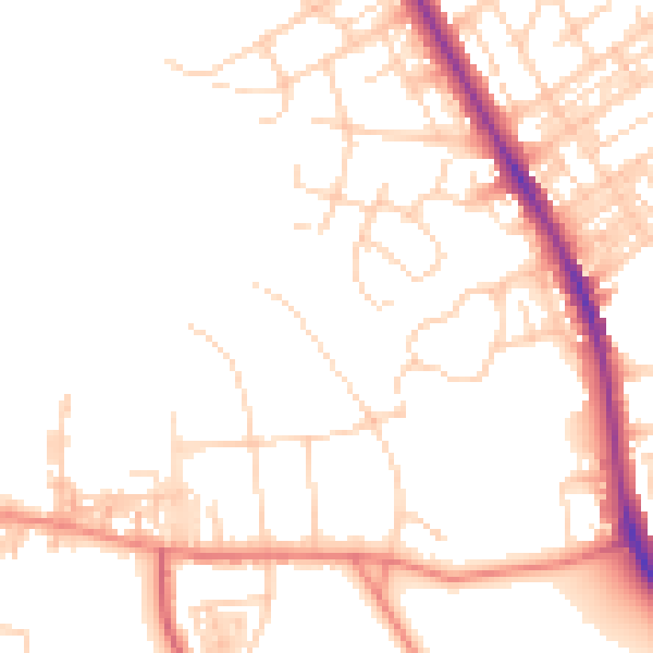
Daytime· 07:00 – 23:00
49.8dB

Night-time· 23:00 – 07:00
40.1dB