52 Wilmer Drive, Bradford, BD9 4AS
About 52 Wilmer Drive
52 Wilmer Drive is a three-bedroom detached house in Bradford (BD9 4AS). It has a recorded floor area of 139 m² (around 1496 sq ft), construction records dating it to 1950-1966 and council tax band E. The latest certificate (February 2016) shows an E (score 45), well below the UK norm with real room to improve. The rating has held steady at E across 2 certificates since June 2010. Between certificates, main heating went from Average to Good; while wall efficiency dropped from Poor to Very Poor. The recommended improvements would push it to D (score 63). The latest certificate is from February 2016, so improvements made since then won't be reflected.
It hasn't traded since July 1995, a hold of 31 years that's notably long for the area. Only one transfer is on record with HM Land Registry, suggesting it has stayed in the same hands for a long time. Today's modelled estimate of £300,000 sits 224.3% above the 1995 sale of £92,500. On a £-per-square-foot basis, the last sale (£62/sq ft) was about 40.6% below the postcode norm. At 139 m² it sits well below the postcode median (255 m² across 12 EPCs), making it one of the more compact homes locally. 2 planning records sit against the property, 1 approved, 0 refused. Past consents include tree works, meaningful when judging how the property has evolved.
What this property has
Inside
- Bedrooms3
Everything you need to know about 52 Wilmer Drive
The true value, the hidden risks and the full sale history, in one report.
30-day money-back guarantee

The data behind every report


Energy performance
52 Wilmer Drive's carbon output runs well above what efficient homes in the postcode produce.
EPC Expired
This certificate is over 10 years old and is no longer valid.Expired 15 Feb 2026
EPC Rating
Property Improvements
Changes detected from historical EPC data
Heating controls upgraded for better temperature management
Hot water system changed
Windows upgraded, improving insulation
Planning history
Planning history at 52 Wilmer Drive is exclusively tree-management applications — typical for a property with mature trees on or near the plot.
- Jan 2026Tree WorksTreesIn report
T1 - Cedar, the tree is starting to out grow its location, homeowner wishes to keep it but compact the size slightly to ensure no large limb failures. Works would be to radially reduce all round from 8m to 6m and reduce in height from 12m to 8m. Works would compact the tree but retain a natural tree shape.
- Agent
- Keighley Tree Services
- Documents
- 3 docs on file
- Reference
- 25/04435/CPN
- Dec 2007Tree WorksTreesIn report
T1 Cedar - Clear back from property by maximum of 2m (and remove upswept branch proeprty side) and thin crown evenly by 15%. Remove secondary growth to clear telephone cable by 0.5m maximum. T2 Lime - Crown lift to 4.5m and thin crwon evenly by 5%T3 Sycamore - Crown lift to 4.5m and thin crwon evenly by 5%T4 Sycamore - Crown lift to 4.5m and thin crwon evenly by 5%T5 Sycamore - Crown lift to 4.5m and thin crwon evenly by 5%T6 Sycamore - Crown lift to 4.5m and thin crwon evenly by 5%
- Reference
- 07/10170/CPN
We flagged 1 thing worth checking at 52 Wilmer Drive
Independent checks surfaced things a buyer would want to understand before offering. The report explains each one in full, with the underlying data and what to ask.
- Signs of HMO activity in the area
30-day money-back guarantee
Sales history & valuation
Latest sale on 52 Wilmer Drive was the lowest on Land Registry record across the postcode.
£300,000
Modelled from EPC, postcode comparables.
£92,500
Recorded with HM Land Registry.
Sales timeline
27 July 1995Most recent
£92,500
Median price across the last 5 sales in BD9 4AS: £380,000 (2019–2017).
Versus other Wilmer Drive homes
Years Held for 52 Wilmer Drive runs comfortably ahead of the street norm.
Price per m²
£665
Street avg £1,265
Floor Area
139 m²
Street avg 317 m²
Habitable Rooms
6 rooms
Street avg 11 rooms
CO₂ Emissions
9.8 t/year
Street avg 21.6 t/year
Everything you need to know about 52 Wilmer Drive
The true value, the hidden risks and the full sale history, in one report.
30-day money-back guarantee
The data behind every report
Similar properties nearby
1 Aireville Rise
BD9 4ES
1 Aireville Crescent
BD9 4EU
1 Garth Barn Close
BD9 4BG
1 Bradley Street
BD9 4LL
1 Milford Place
BD9 4RU
1 Granville Road
BD9 4HE
1 Lynthorne Road
BD9 4EZ
1 Firth Road
BD9 4RS
The neighbourhood at a glance
Rail-style transport is unusually close for this postcode.
Crime
8/mo
Rising year-on-year across the wider district.
Nearest stop
0.2 km
Ashwell Road Parsons Rd — bus stop.
Closest school
0.3 km
Heaton St Barnabas' CofE Aided Primary School. 48 schools nearby.
Go deeper on the local area
The full report breaks down crime, transport links, schools and air quality in depth.
Road noise across the postcode
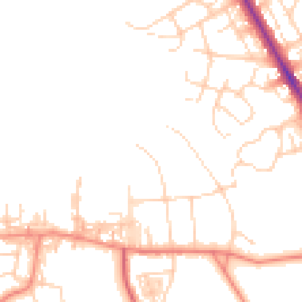
Daytime· 07:00 – 23:00
48.0dB

Night-time· 23:00 – 07:00
38.5dB