1 Pollard Lane, Bradford, BD2 4RL
About 1 Pollard Lane
1 Pollard Lane is a property in Bradford (BD2 4RL). It has council tax band C.
It hasn't traded since January 2009, a hold of 17 years that's notably long for the area. That sale fell during the post-crash dip, which often skews comparisons against later neighbouring sales. 2 planning records sit against the property, 1 approved, 1 refused. Past consents include an extension and a porch, meaningful when judging how the property has evolved.
Everything you need to know about 1 Pollard Lane
The true value, the hidden risks and the full sale history, in one report.
Pick your report · every report is £14.99
One time fee only - money back guarantee

The data behind every report


Energy performance
No EPC on record
This property doesn't have an Energy Performance Certificate yet. An EPC is required to sell or let — and unlocks our automated valuation.
Get a survey for this property
Level 2 HomeBuyer Report
We've checked 10 risk factors against the available data for this property and believe a Level 2 HomeBuyer Report could be a suitable option for you.
Planning history
2 applications on record at 1 Pollard Lane, Bradford, BD2 4RL
- Jan 2006PorchFullOutcome in report
Extension to create porch and kitchen with bedroom above and alterations to existing roof
Extension- Documents
- 6 docs on file
- Reference
- 05/08755/FUL
- More recent applications — locked
- Loft ConversionJul 2008Decision
Unlock 1 Pollard Lane, Bradford, BD2 4RL's full planning history
You're seeing the shape of it. The report has the substance.
- Every decision — granted, refused or withdrawn (2 on record)
- All 2 applications on this property in full, plus 2 notable nearby
- The 14 documents, officer reports & conditions
- What the pattern means for extending or converting here
One time fee only - money back guarantee
Sales history & valuation
The latest sale fell during the post-2008 dip, often a low-water mark in price comparisons.
£120,000
Recorded with HM Land Registry.
Sales timeline
23 January 2009Most recent
£120,000
Median price across the last 5 sales in BD2 4RL: £110,000 (2022–2017).
Everything you need to know about 1 Pollard Lane
The true value, the hidden risks and the full sale history, in one report.
Pick your report · every report is £14.99
One time fee only - money back guarantee
The data behind every report
Similar properties nearby
The neighbourhood at a glance
Crime
3/mo
Steady year-on-year across the wider district.
Nearest stop
0.1 km
Undercliffe Cemetery South — bus stop.
Closest school
0.4 km
Peel Park Primary School and Nursery. 48 schools nearby.
Go deeper on the local area
A Local Area report breaks down crime, transport links, schools and air quality in depth.
Road noise across the postcode
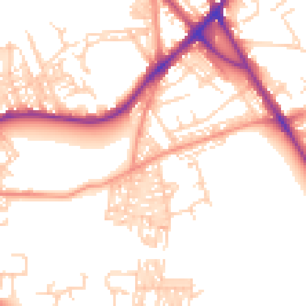
Daytime· 07:00 – 23:00
52.5dB

Night-time· 23:00 – 07:00
42.6dB