29a, Grasmere Road, Bradford, BD2 4HU
About 29a
29a is a detached house in Bradford (BD2 4HU). It has a recorded floor area of 170 m² (around 1830 sq ft), construction records dating it to 2007 onwards and council tax band E. The latest certificate (September 2020) shows a C (score 79), near the top of the C band. The recommended improvements would push it to B (score 85).
At 170 m² the property is well over the postcode median (72 m² across 19 EPCs), placing it in the larger end of the local stock. Its energy rating outperforms most of the postcode (better than 79% of similar EPCs). Today's modelled estimate of £313,000 is 18.1% above the 2022 sale price. Last sale on file: £265,000 in September 2022. That sale was during the post-pandemic price surge, when transactions cleared materially above pre-2020 trend.
Everything you need to know about 29a
The true value, the hidden risks and the full sale history, in one report.
Pick your report · every report is £14.99
One time fee only - money back guarantee

The data behind every report


Energy performance
EPC Rating
Get a survey for this property
Level 2 HomeBuyer Report
We've checked 10 risk factors against the available data for this property and believe a Level 2 HomeBuyer Report could be a suitable option for you.
From £595 · Includes VAT
Planning history
29a has no planning applications on record.
But the area is active
2 notable applications nearby — larger schemes and conversions that could reshape the street. The report maps them all.
Sales history & valuation
Latest sale on 29a was the highest on Land Registry record across the postcode.
£313,000
Modelled from EPC, postcode comparables.
£265,000
Recorded with HM Land Registry.
Sales timeline
29 September 2022Most recent
£265,000
Median price across the last 5 sales in BD2 4HU: £200,000 (2025–2022).
Nearby sales in BD2 4HU
Versus other Grasmere Road homes
EPC Rating for 29a runs comfortably ahead of the street norm.
Price per m²
£1,559
Street avg £1,736
Floor Area
170 m²
Street avg 92 m²
Habitable Rooms
5 rooms
Street avg 5 rooms
CO₂ Emissions
4.0 t/year
Street avg 4.7 t/year
Everything you need to know about 29a
The true value, the hidden risks and the full sale history, in one report.
Pick your report · every report is £14.99
One time fee only - money back guarantee
The data behind every report
Similar properties nearby
The neighbourhood at a glance
Crime
3/mo
Steady year-on-year across the wider district.
Nearest stop
0.1 km
Grasmere Road — bus stop.
Closest school
0.3 km
St Francis Catholic Primary School, A Voluntary Academy. 45 schools nearby.
Go deeper on the local area
A Local Area report breaks down crime, transport links, schools and air quality in depth.
Road noise across the postcode
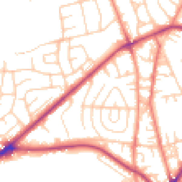
Daytime· 07:00 – 23:00
52.1dB

Night-time· 23:00 – 07:00
41.9dB