33 Ashbourne Avenue, Bradford, BD2 4AW
About 33 Ashbourne Avenue
33 Ashbourne Avenue is a two-bedroom semi-detached house in Bradford (BD2 4AW). It has a recorded floor area of 68 m² (around 732 sq ft), construction records dating it to 1930-1949 and council tax band B. The latest certificate (November 2014) shows a D (score 63), on the cusp of jumping into the C band. The rating has held steady at D across 2 certificates since March 2014. The recommended improvements would lift it to B (score 81), a 2-band jump. The latest certificate is from November 2014, so improvements made since then won't be reflected.
Today's modelled estimate of £150,000 sits 61.3% above the 2014 sale of £93,000. At 68 m² it's 25.9% larger than the typical home in the postcode (54 m² median across 14 EPCs). Last sold in October 2014, so it's been off the market for around 12 years.
What this property has
Inside
- Bedrooms2
- Bathrooms1
Everything you need to know about 33 Ashbourne Avenue
The true value, the hidden risks and the full sale history, in one report.
Pick your report · every report is £14.99
One time fee only - money back guarantee

The data behind every report


Energy performance
Recommended upgrades on file would lift this property by multiple EPC bands.
EPC Expired
This certificate is over 10 years old and is no longer valid.Expired 13 Nov 2024
EPC Rating
Get a survey for this property
Level 2 HomeBuyer Report
We've checked 10 risk factors against the available data for this property and believe a Level 2 HomeBuyer Report could be a suitable option for you.
From £495 · Includes VAT
Planning history
33 Ashbourne Avenue has no planning applications on record.
But the area is active
2 notable applications nearby — larger schemes and conversions that could reshape the street. The report maps them all.
Sales history & valuation
33 Ashbourne Avenue valuation sits well clear of the typical sold price in this postcode.
£150,000
Modelled from EPC, postcode comparables.
£93,000
Recorded with HM Land Registry.
Sales timeline
8 October 2014Most recent
£93,000
Median price across the last 5 sales in BD2 4AW: £120,000 (2025–2022).
Nearby sales in BD2 4AW
Versus other Ashbourne Avenue homes
Price per m²
£1,368
Street avg £1,733
Floor Area
68 m²
Street avg 62 m²
Habitable Rooms
4 rooms
Street avg 4 rooms
CO₂ Emissions
3.3 t/year
Street avg 3.4 t/year
Everything you need to know about 33 Ashbourne Avenue
The true value, the hidden risks and the full sale history, in one report.
Pick your report · every report is £14.99
One time fee only - money back guarantee
The data behind every report
Similar properties nearby
1 Grovelands
BD2 4HH
1 Ashbourne Rise
BD2 4DJ
1 Ashbourne Haven
BD2 4DN
1 Hatfield Road
BD2 4QX
1 Ashbourne Oval
BD2 4DH
1 Bolton Court, Lister Lane
BD2 4LR
1 Grove House Drive
BD2 4DS
1 Boundary Place
BD2 4PA
The neighbourhood at a glance
Crime
3/mo
Steady year-on-year across the wider district.
Nearest stop
0.1 km
Ashbourne Rd Ashbourne Ave — bus stop.
Closest school
0.5 km
Grove House Primary School. 54 schools nearby.
Go deeper on the local area
A Local Area report breaks down crime, transport links, schools and air quality in depth.
Road noise across the postcode
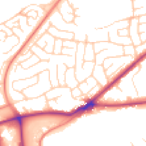
Daytime· 07:00 – 23:00
52.5dB

Night-time· 23:00 – 07:00
42.0dB