25 Ashbourne Avenue, Bradford, BD2 4AW
About 25 Ashbourne Avenue
25 Ashbourne Avenue is a semi-detached house in Bradford (BD2 4AW). It has a recorded floor area of 51 m² (around 549 sq ft), construction records dating it to 1950-1966 and council tax band A. The latest certificate (October 2024) shows a D (score 66), on the cusp of jumping into the C band. The recommended improvements would lift it to B (score 89), a 2-band jump.
Most recent transfer was February 2025 at £97,500 — fresh data. Across 1997–2025, sale prices on this property compounded at 4.6% per year. Today's modelled estimate of £124,000 is 27.2% above the 2025 sale price. On a £-per-square-foot basis, the last sale (£178/sq ft) was about 49.3% above the typical sold price in the postcode.
Everything you need to know about 25 Ashbourne Avenue
The true value, the hidden risks and the full sale history, in one report.
Pick your report · every report is £14.99
One time fee only - money back guarantee

The data behind every report


Energy performance
Recommended upgrades on file would lift this property by multiple EPC bands.
EPC Rating
Get a survey for this property
Level 2 HomeBuyer Report
We've checked 10 risk factors against the available data for this property and believe a Level 2 HomeBuyer Report could be a suitable option for you.
From £495 · Includes VAT
Planning history
25 Ashbourne Avenue has no planning applications on record.
But the area is active
2 notable applications nearby — larger schemes and conversions that could reshape the street. The report maps them all.
Sales history & valuation
Sale price has grown by over 3x since 1997.
£124,000
Modelled from EPC, postcode comparables and a sale-price growth of 4.6% per year over 27 years.
£97,500
Growth on file: 4.6% per year over 27 years.
Sales timeline
4 February 2025Most recent
£97,500
+242.1%over 27 years18 September 1997
£28,500
Median price across the last 5 sales in BD2 4AW: £122,000 (2024–2019).
Nearby sales in BD2 4AW
Versus other Ashbourne Avenue homes
25 Ashbourne Avenue is notably below the street on years held.
Price per m²
£1,912
Street avg £1,683
Floor Area
51 m²
Street avg 63 m²
Habitable Rooms
3 rooms
Street avg 4 rooms
CO₂ Emissions
2.7 t/year
Street avg 3.5 t/year
Everything you need to know about 25 Ashbourne Avenue
The true value, the hidden risks and the full sale history, in one report.
Pick your report · every report is £14.99
One time fee only - money back guarantee
The data behind every report
Similar properties nearby
The neighbourhood at a glance
Crime
3/mo
Steady year-on-year across the wider district.
Nearest stop
0.1 km
Ashbourne Rd Ashbourne Ave — bus stop.
Closest school
0.5 km
Grove House Primary School. 54 schools nearby.
Go deeper on the local area
A Local Area report breaks down crime, transport links, schools and air quality in depth.
Road noise across the postcode
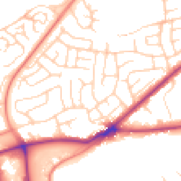
Daytime· 07:00 – 23:00
52.5dB

Night-time· 23:00 – 07:00
42.0dB