14 Armidale Way, Bradford, BD2 1EN
About 14 Armidale Way
14 Armidale Way is a semi-detached house in Bradford (BD2 1EN). It has a recorded floor area of 78 m² (around 841 sq ft), construction records dating it to 1967-1975 and council tax band B. The latest certificate (November 2010) shows a C (score 72). The latest certificate is from November 2010, so improvements made since then won't be reflected.
Today's modelled estimate of £173,000 sits 64.8% above the 2013 sale of £105,000. On a £-per-square-foot basis, the last sale (£125/sq ft) was about 43.4% above the typical sold price in the postcode. Its energy rating outperforms most of the postcode (better than 73% of similar EPCs). On the market in April 2013 and unlisted since — roughly 13 years.
Everything you need to know about 14 Armidale Way
The true value, the hidden risks and the full sale history, in one report.
Pick your report · every report is £14.99
One time fee only - money back guarantee

The data behind every report


Energy performance
14 Armidale Way's EPC is over a decade old — improvements since won't be reflected.
EPC Expired
This certificate is over 10 years old and is no longer valid.Expired 26 Nov 2020
EPC Rating
Get a survey for this property
Level 2 HomeBuyer Report
We've checked 10 risk factors against the available data for this property and believe a Level 2 HomeBuyer Report could be a suitable option for you.
From £495 · Includes VAT
Planning history
14 Armidale Way has no planning applications on record.
But the area is active
1 notable application nearby — larger schemes and conversions that could reshape the street. The report maps them all.
Sales history & valuation
14 Armidale Way valuation sits well clear of the typical sold price in this postcode.
£173,000
Modelled from EPC, postcode comparables.
£105,000
Recorded with HM Land Registry.
Sales timeline
1 April 2013Most recent
£105,000
Median price across the last 5 sales in BD2 1EN: £94,000 (2017–2015).
Versus other Armidale Way homes
On epc rating, 14 Armidale Way stands well clear of the street.
Price per m²
£1,345
Street avg £1,220
Floor Area
78 m²
Street avg 88 m²
Habitable Rooms
4 rooms
Street avg 4 rooms
CO₂ Emissions
3.0 t/year
Street avg 3.8 t/year
Everything you need to know about 14 Armidale Way
The true value, the hidden risks and the full sale history, in one report.
Pick your report · every report is £14.99
One time fee only - money back guarantee
The data behind every report
Similar properties nearby
The neighbourhood at a glance
Crime
3/mo
Steady year-on-year across the wider district.
Nearest stop
0.2 km
Poplars Park Road — bus stop.
Closest school
0.4 km
Poplars Farm Primary School. 52 schools nearby.
Go deeper on the local area
A Local Area report breaks down crime, transport links, schools and air quality in depth.
Road noise across the postcode
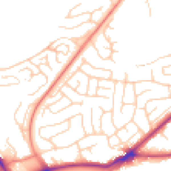
Daytime· 07:00 – 23:00
50.9dB

Night-time· 23:00 – 07:00
40.3dB