12 Armidale Way, Bradford, BD2 1EN
About 12 Armidale Way
12 Armidale Way is a one-bedroom property in Bradford (BD2 1EN). It has council tax band C.
Untraded for 27 years, with the last transfer in August 1999. One planning record on file: an extension approved in 2005. Past consents include an extension and a conservatory, meaningful when judging how the property has evolved. Across 1997–1999, sale prices on this property compounded at 1.2% per year. 1 bedrooms is on the smaller side for this postcode, where 3 is the typical count.
What this property has
Inside
- Bedrooms1
Outside
- Shared gardenYes
Building
- RefurbishedYes
Everything you need to know about 12 Armidale Way
The true value, the hidden risks and the full sale history, in one report.
Pick your report · every report is £14.99
One time fee only - money back guarantee

The data behind every report


Energy performance
No EPC on record
This property doesn't have an Energy Performance Certificate yet. An EPC is required to sell or let — and unlocks our automated valuation.
Get a survey for this property
Level 2 HomeBuyer Report
We've checked 10 risk factors against the available data for this property and believe a Level 2 HomeBuyer Report could be a suitable option for you.
Planning history
12 Armidale Way has an approved extension on the planning record.
1 application on record at 12 Armidale Way, Bradford, BD2 1EN
- Aug 2005ConservatoryFullOutcome in report
Construction of new conservatory to dwelling
Extension- Documents
- 8 docs on file
- Reference
- 05/04643/FUL
Unlock 12 Armidale Way, Bradford, BD2 1EN's full planning history
You're seeing the shape of it. The report has the substance.
- Every decision — granted, refused or withdrawn (1 on record)
- All 1 application on this property in full, plus 1 notable nearby
- The 8 documents, officer reports & conditions
- What the pattern means for extending or converting here
One time fee only - money back guarantee
Sales history & valuation
£52,150
Growth on file: 1.2% per year over 2 years.
Sales timeline
11 August 1999Most recent
£52,150
+2.3%over 1 year25 September 1997
£51,000
Median price across the last 5 sales in BD2 1EN: £94,000 (2017–2015).
Everything you need to know about 12 Armidale Way
The true value, the hidden risks and the full sale history, in one report.
Pick your report · every report is £14.99
One time fee only - money back guarantee
The data behind every report
Similar properties nearby
1 Finsbury Drive
BD2 1QA
1 Drovers Way
BD2 1JZ
1 Camargue Fold
BD2 1HB
1 Chestnut Grove
BD2 1BP
1 Farriers Croft
BD2 1ET
1 Greenwood Avenue
BD2 1JF
1 Greenwood Mount
BD2 1JG
1 Howarth Crescent
BD2 1HZ
The neighbourhood at a glance
Crime
3/mo
Steady year-on-year across the wider district.
Nearest stop
0.2 km
Poplars Park Road — bus stop.
Closest school
0.4 km
Poplars Farm Primary School. 52 schools nearby.
Go deeper on the local area
A Local Area report breaks down crime, transport links, schools and air quality in depth.
Road noise across the postcode
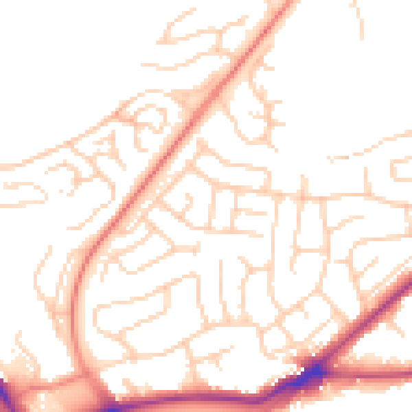
Daytime· 07:00 – 23:00
50.9dB

Night-time· 23:00 – 07:00
40.3dB