46 South Lane, Haxby, York, YO32 3JA
About 46 South Lane
46 South Lane is a detached house in Haxby, York, York (YO32 3JA). It has a recorded floor area of 165 m² (around 1776 sq ft). The latest certificate (March 2015) returns a high B (score 85), putting the home a stone's throw from an A rating. The latest certificate is from March 2015, so improvements made since then won't be reflected.
At 165 m² the property is well over the postcode median (75 m² across 6 EPCs), placing it in the larger end of the local stock. Its energy rating outperforms most of the postcode (better than 83% of similar EPCs). 7 planning records sit against the property, 4 approved, 1 refused.
Everything you need to know about 46 South Lane
The true value, the hidden risks and the full sale history, in one report.
Pick your report · every report is £14.99
One time fee only - money back guarantee

The data behind every report


Energy performance
46 South Lane's EPC is over a decade old — improvements since won't be reflected.
EPC Expired
This certificate is over 10 years old and is no longer valid.Expired 20 Mar 2025
EPC Rating
Get a survey for this property
Level 2 HomeBuyer Report
We've checked 10 risk factors against the available data for this property and believe a Level 2 HomeBuyer Report could be a suitable option for you.
From £795 · Includes VAT
Planning history
46 South Lane has been through 4 approved planning applications — a well-evolved property.
7 applications on record at 46 South Lane, Haxby, York, YO32 3JA
- Sept 2011New BuildFullOutcome in report
Erection of two-storey detached dwelling and laying-out of access road and car park to the rear of 55 and 57 The Village, Haxby
- Documents
- 13 docs on file
- Reference
- 11/01628/FUL
- More recent applications — locked
- ConditionsApr 2015Decision
- New BuildDec 2014Decision
+ 4 more applications in the report
Unlock 46 South Lane, Haxby, York, YO32 3JA's full planning history
You're seeing the shape of it. The report has the substance.
- Every decision — granted, refused or withdrawn (7 on record)
- All 7 applications on this property in full, plus 1 notable nearby
- The 56 documents, officer reports & conditions
- What the pattern means for extending or converting here
One time fee only - money back guarantee
Sales history & valuation
46 South Lane has no Land Registry sales on file, suggesting it has stayed in the same hands since registration began.
£508,000
Modelled from EPC, postcode comparables.
No sales recorded with HM Land Registry
That can mean the property has never traded since the registry began publishing in 1995, was a new build that hasn't been registered yet, or is held in the same hands long-term.
Median price across the last 5 sales in YO32 3JA: £155,000 (2015–2004).
Versus other South Lane homes
On floor area, 46 South Lane stands well clear of the street.
EPC Rating
85 (B)
Street avg 66 (D)
Floor Area
165 m²
Street avg 91 m²
CO₂ Emissions
2.4 t/year
Street avg 3.7 t/year
Everything you need to know about 46 South Lane
The true value, the hidden risks and the full sale history, in one report.
Pick your report · every report is £14.99
One time fee only - money back guarantee
The data behind every report
Similar properties nearby
1 3, The Village, Haxby
YO32 3HS
1 Appleby Glade, Haxby
YO32 3YW
1 Folks Close, Haxby
YO32 3SP
1 Farmstead Rise, Haxby
YO32 3LL
1 Folks Close Gardens, Folks Close, Haxby
YO32 3SQ
1 Cyprus Grove, Haxby
YO32 3ZS
1 Abelton Grove, Haxby
YO32 3HP
1 Ashwood Glade, Haxby
YO32 3GQ
The neighbourhood at a glance
Crime
3/mo
Steady year-on-year across the wider district.
Nearest stop
0.1 km
Red Lion — bus stop.
Closest school
0.6 km
Ralph Butterfield Primary School. 7 schools nearby.
Go deeper on the local area
A Local Area report breaks down crime, transport links, schools and air quality in depth.
Road noise across the postcode
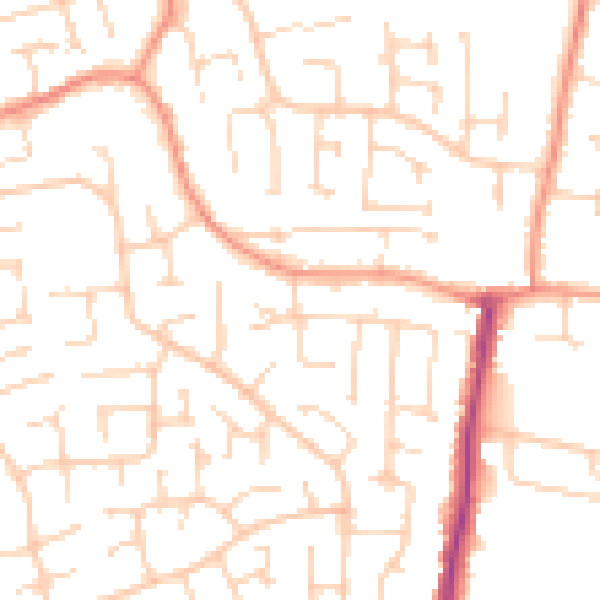
Daytime· 07:00 – 23:00
50.3dB

Night-time· 23:00 – 07:00
38.5dB