19 Priory Street, York, YO1 6ET
About 19 Priory Street
19 Priory Street is a two-bedroom property in York (YO1 6ET). It has council tax band C. The property has underfloor heating on record, all of which lower running costs and tend to lift resale appeal.
Last sold in October 2011, so it's been off the market for around 15 years. One planning record on file: new windows refused in 2018. Across 1995–2011, sale prices on this property compounded at 6.6% per year.
What this property has
Inside
- Bedrooms2
- Dining roomYes
- EnsuiteYes
Outside
- ParkingOff street
Building
- Underfloor heatingYes
Everything you need to know about 19 Priory Street
The true value, the hidden risks and the full sale history, in one report.
30-day money-back guarantee

The data behind every report


Energy performance
No EPC on record
This property doesn't have an Energy Performance Certificate yet. An EPC is required to sell or let — and unlocks our automated valuation.
Planning history
- Nov 2018RenovationFullIn report
Replace existing timber windows with UPVC to front and rear elevations including removing of existing protruding window arrangement to rear and replace with windows fitted flush to the elevation.
- Agent
- Watson
New Windows- Documents
- 9 docs on file
- Reference
- 18/01651/FUL
We flagged 2 things worth checking at 19 Priory Street
Independent checks surfaced things a buyer would want to understand before offering. The report explains each one in full, with the underlying data and what to ask.
- Signs of HMO activity in the area
- Larger development activity nearby
30-day money-back guarantee
Sales history & valuation
19 Priory Street has more than doubled in price since the earliest registered sale in 1995.
£172,000
Growth on file: 6.6% per year over 17 years.
Sales timeline
31 October 2011Most recent
£172,000
+186.7%over 16 years30 March 1995
£60,000
Median price across the last 5 sales in YO1 6ET: £575,000 (2025–2013).
Everything you need to know about 19 Priory Street
The true value, the hidden risks and the full sale history, in one report.
30-day money-back guarantee
The data behind every report
Similar properties nearby
1 Fairfax Street
YO1 6EB
1 Dewsbury Terrace
YO1 6HA
1 Emperors Wharf, Skeldergate
YO1 6DQ
1 Falkland Street
YO1 6DY
1 Hampden Street
YO1 6EA
1 Albion Street
YO1 6HJ
1 Buckingham Court
YO1 6EQ
1 Crambeck Court, Fetter Lane
YO1 6BZ
The neighbourhood at a glance
Rail-style transport is unusually close for this postcode.
Crime
5/mo
Rising year-on-year across the wider district.
Nearest stop
0.2 km
Nunnery Lane Car Park — bus stop.
Closest school
0.4 km
Scarcroft Primary School. 30 schools nearby.
Go deeper on the local area
The full report breaks down crime, transport links, schools and air quality in depth.
Road noise across the postcode
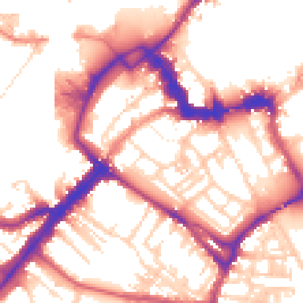
Daytime· 07:00 – 23:00
55.2dB

Night-time· 23:00 – 07:00
46.3dB