15 Wrekin Drive, Wergs, Wolverhampton, WV6 8UJ
About 15 Wrekin Drive
15 Wrekin Drive is a four-bedroom detached house in Wergs, Wolverhampton, Wolverhampton (WV6 8UJ). It has a recorded floor area of 143 m² (around 1539 sq ft), construction records dating it to 1950-1966 and council tax band F. The latest certificate (October 2023) shows a C (score 70). When first surveyed in November 2011 the rating was E, the property has climbed 2 bands since. Between certificates, roof efficiency went from Very Poor to Average and lighting went from Very Poor to Very Good; while wall efficiency dropped from Good to Average. It has already been extended once and our model flags further extension potential, a sign of buyer flexibility. The home occupies a cul-de-sac position.
One planning record on file: an extension approved in 2016. Past consents include an extension and a porch, meaningful when judging how the property has evolved. At 143 m² it's 26.5% larger than the typical home in the postcode (113 m² median across 17 EPCs). Its energy rating outperforms most of the postcode (better than 82% of similar EPCs). Across 1997–2024, sale prices on this property compounded at 5.5% per year. On a £-per-square-foot basis, the last sale (£406/sq ft) was about 89.8% above the typical sold price in the postcode. Most recent transfer: June 2024 at £625,000.
What this property has
Inside
- Bedrooms4
- Bathrooms2
- Open-plan layoutYes
- Dining roomYes
- CloakroomYes
- EnsuiteYes
- StudyYes
Outside
- Private gardenYes
- Cul-de-sacYes
Building
- Previously extendedYes
- RefurbishedYes
- Extension potentialPossible
Everything you need to know about 15 Wrekin Drive
The true value, the hidden risks and the full sale history, in one report.
Pick your report · every report is £14.99
One time fee only - money back guarantee

The data behind every report


Energy performance
EPC Rating
Property Improvements
Changes detected from historical EPC data
Roof insulation improved
More low energy lighting installed
Get a survey for this property
Level 3 Building Survey
Because the property has been extended more than once, we believe a Level 3 building survey should be considered.
From £1,155 · Includes VAT
Planning history
1 application on record at 15 Wrekin Drive, Wergs, Wolverhampton, WV6 8UJ
- Nov 2016PorchFullOutcome in report
Extension: Rear of property
Two storey rear extension including two juliet balconies, single storey rear extension and new front porch
Extension- Documents
- 6 docs on file
- Reference
- 16/01099/FUL
Unlock 15 Wrekin Drive, Wergs, Wolverhampton, WV6 8UJ's full planning history
You're seeing the shape of it. The report has the substance.
- Every decision — granted, refused or withdrawn (1 on record)
- All 1 application on this property in full, plus 1 notable nearby
- The 6 documents, officer reports & conditions
- What the pattern means for extending or converting here
One time fee only - money back guarantee
Sales history & valuation
Latest sale on 15 Wrekin Drive was the highest on Land Registry record across the postcode.
£665,000
Modelled from EPC, postcode comparables and a sale-price growth of 5.5% per year over 27 years.
£625,000
Growth on file: 5.5% per year over 27 years.
Sales timeline
11 June 2024Most recent
£625,000
+68.9%over 7 years31 August 2016
£370,000
-1.3%over 3 years23 July 2013
£375,000
1 December 2006
£375,000
+150.0%over 9 years10 November 1997
£150,000
Median price across the last 5 sales in WV6 8UJ: £515,000 (2025–2021).
Nearby sales in WV6 8UJ
12 Wrekin Drive, Wergs, Wolverhampton, WV6 8UJ
Sold Apr 2025
£585,00011 Wrekin Drive, Wergs, Wolverhampton, WV6 8UJ
Sold Aug 2024
£515,0005 Wrekin Drive, Wergs, Wolverhampton, WV6 8UJ
Sold Sept 2022
£425,0008 Wrekin Drive, Wergs, Wolverhampton, WV6 8UJ
Sold Jun 2022
£515,0009 Wrekin Drive, Wergs, Wolverhampton, WV6 8UJ
Sold Jun 2021
£405,000
Versus other Wrekin Drive homes
15 Wrekin Drive outperforms the street on epc rating by a wide margin.
Price per m²
£4,371
Street avg £2,817
Floor Area
143 m²
Street avg 134 m²
Habitable Rooms
7 rooms
Street avg 6 rooms
CO₂ Emissions
4.9 t/year
Street avg 5.8 t/year
Everything you need to know about 15 Wrekin Drive
The true value, the hidden risks and the full sale history, in one report.
Pick your report · every report is £14.99
One time fee only - money back guarantee
The data behind every report
Similar properties nearby
1 Dippons Mill Close
WV6 8HH
1 Boundary Way, Compton
WV6 8DL
1 Ashley Mount
WV6 8QD
1 Broxwood Park
WV6 8LZ
1 Edward Lisle Gardens
WV6 8UB
1 Cherrington Gardens
WV6 8AJ
1 Bramstead Avenue
WV6 8AH
1 Birchfield Avenue
WV6 8TG
The neighbourhood at a glance
Daytime road noise here sits well below conversation level — a quiet pocket of the postcode.
Crime
5/mo
Steady year-on-year across the wider district.
Nearest stop
0.6 km
Turner Grove — bus stop.
Closest school
0.3 km
Perton Middle School. 27 schools nearby.
Go deeper on the local area
A Local Area report breaks down crime, transport links, schools and air quality in depth.
Road noise across the postcode
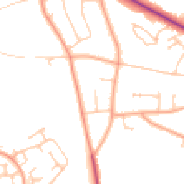
Daytime· 07:00 – 23:00
47.4dB

Night-time· 23:00 – 07:00
38.3dB