87 Eastcroft Road, Wolverhampton, WV4 4NL
About 87 Eastcroft Road
87 Eastcroft Road is a three-bedroom semi-detached house in Wolverhampton (WV4 4NL). It has a recorded floor area of 100 m² (around 1076 sq ft), construction records dating it to 1930-1949 and council tax band A. The latest certificate (August 2016) shows a D (score 55), a step below the typical UK home. The recommended improvements would push it to C (score 72).
Today's modelled estimate of £190,000 sits 52% above the 2024 sale of £125,000. At 100 m² it's 19% larger than the typical home in the postcode (84 m² median across 35 EPCs). Sold July 2024 for £125,000.
What this property has
Inside
- Bedrooms3
- Bathrooms2
- Dining roomYes
- CloakroomYes
Outside
- Private gardenRear
- DrivewayYes
Everything you need to know about 87 Eastcroft Road
The true value, the hidden risks and the full sale history, in one report.
Pick your report · every report is £14.99
One time fee only - money back guarantee

The data behind every report


Energy performance
EPC Rating
Get a survey for this property
Level 2 HomeBuyer Report
We've checked 10 risk factors against the available data for this property and believe a Level 2 HomeBuyer Report could be a suitable option for you.
From £495 · Includes VAT
Planning history
87 Eastcroft Road has no planning applications on record.
But the area is active
3 notable applications nearby — larger schemes and conversions that could reshape the street. The report maps them all.
Sales history & valuation
87 Eastcroft Road valuation sits well clear of the typical sold price in this postcode.
£190,000
Modelled from EPC, postcode comparables.
£125,000
Recorded with HM Land Registry.
Sales timeline
11 July 2024Most recent
£125,000
Median price across the last 5 sales in WV4 4NL: £135,000 (2024–2020).
Nearby sales in WV4 4NL
85 Eastcroft Road, Wolverhampton, WV4 4NL
Sold Oct 2024
£165,00031 Eastcroft Road, Wolverhampton, WV4 4NL
Sold Jul 2022
£135,00035 Eastcroft Road, Wolverhampton, WV4 4NL
Sold Jan 2022
£142,00027 Eastcroft Road, Wolverhampton, WV4 4NL
Sold Aug 2021
£125,00063 Eastcroft Road, Wolverhampton, WV4 4NL
Sold Jul 2020
£135,000
Versus other Eastcroft Road homes
Habitable Rooms for 87 Eastcroft Road runs comfortably ahead of the street norm.
Price per m²
£1,250
Street avg £1,298
Floor Area
100 m²
Street avg 87 m²
Habitable Rooms
6 rooms
Street avg 5 rooms
CO₂ Emissions
5.8 t/year
Street avg 4.0 t/year
Everything you need to know about 87 Eastcroft Road
The true value, the hidden risks and the full sale history, in one report.
Pick your report · every report is £14.99
One time fee only - money back guarantee
The data behind every report
Similar properties nearby
1 Bassett Close
WV4 4YG
1 Arley Grove
WV4 4QX
1 Fancourt Avenue
WV4 4HY
1 Fairview Road, Penn
WV4 4TD
1 Ashley Road
WV4 4DP
1 Hamble Road
WV4 4QF
1 Buckley Road
WV4 4LJ
1 Grosvenor Park, Pennhouse Avenue
WV4 4BT
The neighbourhood at a glance
Daytime road noise here sits well below conversation level — a quiet pocket of the postcode.
Crime
6/mo
Steady year-on-year across the wider district.
Nearest stop
1.4 km
Miller and Carter PH — bus stop.
Closest school
0.3 km
Springdale Primary School. 18 schools nearby.
Go deeper on the local area
A Local Area report breaks down crime, transport links, schools and air quality in depth.
Road noise across the postcode
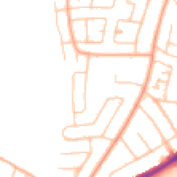
Daytime· 07:00 – 23:00
46.6dB

Night-time· 23:00 – 07:00
37.5dB