93 Wynn Road, Wolverhampton, WV4 4AW
About 93 Wynn Road
93 Wynn Road is a four-bedroom semi-detached house in Wolverhampton (WV4 4AW). It has a recorded floor area of 116 m² (around 1249 sq ft), construction records dating it to 1930-1949 and council tax band C. The latest certificate (May 2017) shows a D (score 62), on the cusp of jumping into the C band. The recommended improvements would push it to C (score 76). Records show the property has been extended at some point in its history.
At 116 m² it's 17.2% larger than the typical home in the postcode (99 m² median across 7 EPCs). Across 2001–2018, sale prices on this property compounded at 5.9% per year. Today's modelled estimate of £337,000 is 36.3% above the 2018 sale price. On a £-per-square-foot basis, the last sale (£198/sq ft) was about 29.5% above the typical sold price in the postcode. Last sale on file: £247,250 in December 2018.
What this property has
Inside
- Bedrooms4
- Bathrooms1
- Dining roomYes
- CloakroomYes
- EnsuiteYes
Outside
- ParkingOff road
Building
- Heating systemGas
- Previously extendedYes
Everything you need to know about 93 Wynn Road
The true value, the hidden risks and the full sale history, in one report.
Pick your report · every report is £14.99
One time fee only - money back guarantee

The data behind every report


Energy performance
EPC Rating
Get a survey for this property
Level 3 Building Survey
Because the property has been extended more than once and has solid (non-cavity) walls, we believe a Level 3 building survey should be considered.
From £955 · Includes VAT
Planning history
93 Wynn Road has no planning applications on record.
But the area is active
3 notable applications nearby — larger schemes and conversions that could reshape the street. The report maps them all.
Sales history & valuation
93 Wynn Road has more than doubled in price since the earliest registered sale in 2001.
£337,000
Modelled from EPC, postcode comparables and a sale-price growth of 5.9% per year over 17 years.
£247,250
Growth on file: 5.9% per year over 17 years.
Sales timeline
21 December 2018Most recent
£247,250
+167.3%over 17 years21 October 2001
£92,500
Median price across the last 5 sales in WV4 4AW: £272,000 (2025–2012).
Nearby sales in WV4 4AW
Versus other Wynn Road homes
93 Wynn Road outperforms the street on habitable rooms by a wide margin.
Price per m²
£2,131
Street avg £2,022
Floor Area
116 m²
Street avg 111 m²
Habitable Rooms
7 rooms
Street avg 6 rooms
CO₂ Emissions
5.4 t/year
Street avg 6.5 t/year
Everything you need to know about 93 Wynn Road
The true value, the hidden risks and the full sale history, in one report.
Pick your report · every report is £14.99
One time fee only - money back guarantee
The data behind every report
Similar properties nearby
1 Hanbury Crescent
WV4 4BW
1 Buckley Road
WV4 4LJ
1 Dimmingsdale Road
WV4 4XF
1 Hamble Road
WV4 4QF
1 Ashley Road
WV4 4DP
1 Fairview Road, Penn
WV4 4TD
1 Fancourt Avenue
WV4 4HY
1 Arley Grove
WV4 4QX
The neighbourhood at a glance
Daytime road noise here sits well below conversation level — a quiet pocket of the postcode.
Crime
6/mo
Steady year-on-year across the wider district.
Nearest stop
2.4 km
Miller and Carter PH — bus stop.
Closest school
0.2 km
Woodfield Primary School. 33 schools nearby.
Go deeper on the local area
A Local Area report breaks down crime, transport links, schools and air quality in depth.
Road noise across the postcode
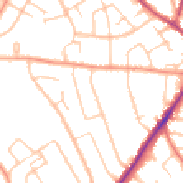
Daytime· 07:00 – 23:00
48.5dB

Night-time· 23:00 – 07:00
39.3dB