10 Inchlaggan Road, Wolverhampton, WV10 9QX
About 10 Inchlaggan Road
10 Inchlaggan Road is a semi-detached house in Wolverhampton (WV10 9QX). It has a recorded floor area of 83 m² (around 891 sq ft), construction records dating it to 1930-1949 and council tax band A. The latest certificate (June 2010) shows a D (score 60), on the cusp of jumping into the C band. The latest certificate is from June 2010, so improvements made since then won't be reflected.
It hasn't traded since December 2010, a hold of 15 years that's notably long for the area. On energy efficiency it sits in the top 10% of properties in this postcode. Today's modelled estimate of £165,000 sits 73.7% above the 2010 sale of £95,000.
Everything you need to know about 10 Inchlaggan Road
The true value, the hidden risks and the full sale history, in one report.
Pick your report · every report is £14.99
One time fee only - money back guarantee

The data behind every report


Energy performance
10 Inchlaggan Road ranks among the most efficient homes in the postcode for energy use.
EPC Expired
This certificate is over 10 years old and is no longer valid.Expired 11 Jun 2020
EPC Rating
Get a survey for this property
Level 3 Building Survey
Because the property has solid (non-cavity) walls, we believe a Level 3 building survey should be considered.
From £820 · Includes VAT
Planning history
10 Inchlaggan Road has no planning applications on record.
A planning report still maps activity across the surrounding area and reads this property's extension & conversion potential.
Sales history & valuation
10 Inchlaggan Road valuation sits well clear of the typical sold price in this postcode.
£165,000
Modelled from EPC, postcode comparables.
£95,000
Recorded with HM Land Registry.
Sales timeline
20 December 2010Most recent
£95,000
Median price across the last 5 sales in WV10 9QX: £103,000 (2021–2015).
Nearby sales in WV10 9QX
2 Inchlaggan Road, Wolverhampton, WV10 9QX
Sold Feb 2021
£190,0003 Inchlaggan Road, Wolverhampton, WV10 9QX
Sold Sept 2016
£102,00012 Inchlaggan Road, Wolverhampton, WV10 9QX
Sold Nov 2015
£118,0004 Inchlaggan Road, Wolverhampton, WV10 9QX
Sold Aug 2015
£80,00020 Inchlaggan Road, Wolverhampton, WV10 9QX
Sold Oct 2014
£125,000
Versus other Inchlaggan Road homes
On years held, 10 Inchlaggan Road stands well clear of the street.
Price per m²
£1,147
Street avg £1,401
Floor Area
83 m²
Street avg 98 m²
Habitable Rooms
5 rooms
Street avg 5 rooms
CO₂ Emissions
4.5 t/year
Street avg 6.1 t/year
Everything you need to know about 10 Inchlaggan Road
The true value, the hidden risks and the full sale history, in one report.
Pick your report · every report is £14.99
One time fee only - money back guarantee
The data behind every report
Similar properties nearby
The neighbourhood at a glance
Crime
6/mo
Steady year-on-year across the wider district.
Nearest stop
2.2 km
Wood Hayes Road — bus stop.
Closest school
0.2 km
St Mary's Catholic Primary Academy. 33 schools nearby.
Go deeper on the local area
A Local Area report breaks down crime, transport links, schools and air quality in depth.
Road noise across the postcode
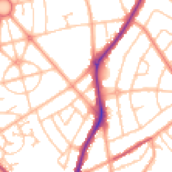
Daytime· 07:00 – 23:00
51.3dB
Night-time· 23:00 – 07:00
41.1dB