3 Darcy House, Old Stafford Road, Cross Green, Wolverhampton, WV10 7EN
About 3 Darcy House
3 Darcy House is a two-bedroom semi-detached house in Cross Green, Wolverhampton, Wolverhampton (WV10 7EN). It has a recorded floor area of 64 m² (around 689 sq ft), construction records dating it to 2003-2006 and council tax band C. At 64 m² this is the 6th smallest of 8 units on EPC record in the building, where floor areas span 56–65 m². The building's EPC ratings span C to B, with this unit at the bottom. The latest certificate (June 2023) shows a C (score 79), near the top of the C band. Earlier certificates rated it B (April 2010); the latest reading is one band lower. Between certificates, lighting went from Very Poor to Good; while hot-water efficiency dropped from Very Good to Good and main heating dropped from Very Good to Good.
Last sale on file: £163,500 in December 2023.
What this property has
Inside
- Bedrooms2
- Bathrooms2
- Utility roomYes
Outside
- Private gardenYes
- ParkingAllocated
Building
- ConciergeYes
Everything you need to know about 3 Darcy House
The true value, the hidden risks and the full sale history, in one report.
Pick your report · every report is £14.99
One time fee only - money back guarantee

The data behind every report


Energy performance
3 Darcy House's carbon output is low for the local stock.
EPC Rating
Property Improvements
Changes detected from historical EPC data
Hot water efficiency decreased
More low energy lighting installed
Get a survey for this property
Level 2 HomeBuyer Report
We've checked 10 risk factors against the available data for this property and believe a Level 2 HomeBuyer Report could be a suitable option for you.
From £495 · Includes VAT
Planning history
3 Darcy House has no planning applications on record.
But the area is active
4 notable applications nearby — larger schemes and conversions that could reshape the street. The report maps them all.
Sales history & valuation
£166,000
Modelled from EPC, postcode comparables.
£163,500
Recorded with HM Land Registry.
Sales timeline
15 December 2023Most recent
£163,500
Median price across the last 5 sales in WV10 7EN: £125,000 (2025–2008).
Nearby sales in WV10 7EN
7 Darcy House, Old Stafford Road, Cross Green, Wolverhampton, WV10 7EN
Sold Mar 2025
£162,5008 Darcy House, Old Stafford Road, Cross Green, Wolverhampton, WV10 7EN
Sold Aug 2022
£125,0009 Darcy House, Old Stafford Road, Cross Green, Wolverhampton, WV10 7EN
Sold Dec 2008
£105,0004 Darcy House, Old Stafford Road, Cross Green, Wolverhampton, WV10 7EN
Sold Jan 2008
£182,00010 Darcy House, Old Stafford Road, Cross Green, Wolverhampton, WV10 7EN
Sold Nov 2006
£190,000
Versus other Old Stafford Road homes
On years held, 3 Darcy House runs well behind the street norm.
Price per m²
£2,555
Street avg £2,649
Floor Area
64 m²
Street avg 62 m²
Habitable Rooms
3 rooms
Street avg 3 rooms
CO₂ Emissions
1.5 t/year
Street avg 1.6 t/year
Everything you need to know about 3 Darcy House
The true value, the hidden risks and the full sale history, in one report.
Pick your report · every report is £14.99
One time fee only - money back guarantee
The data behind every report
Similar properties nearby
1 Beaumont House, Old Stafford Road, Cross Green
WV10 7EP
1 Bellflower Close, Featherstone
WV10 7SU
1 Brewood Road, Cross Green
WV10 7PW
1 Baneberry Drive, Featherstone
WV10 7TR
1 Brooklime Gardens, Featherstone
WV10 7TW
1 Cannock Road, Featherstone
WV10 7AA
1 Darcy House, Old Stafford Road, Cross Green
WV10 7EN
1 Elms Close, Shareshill
WV10 7JT
The neighbourhood at a glance
Crime
6/mo
Steady year-on-year across the wider district.
Nearest stop
0.1 km
Old Stafford Road — bus stop.
Closest school
1.5 km
St Paul's CofE First School. 5 schools nearby.
Go deeper on the local area
A Local Area report breaks down crime, transport links, schools and air quality in depth.
Road noise across the postcode
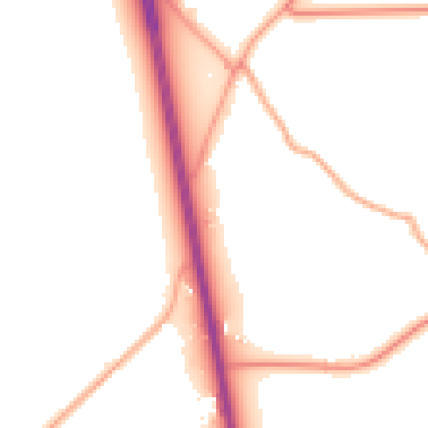
Daytime· 07:00 – 23:00
51.6dB

Night-time· 23:00 – 07:00
44.9dB