21 Burnham Avenue, Wolverhampton, WV10 6DX
About 21 Burnham Avenue
21 Burnham Avenue is a three-bedroom semi-detached house in Wolverhampton (WV10 6DX). It has a recorded floor area of 113 m² (around 1216 sq ft), construction records dating it to 1930-1949 and council tax band B. The latest certificate (February 2015) shows a G (score 11), near the bottom of the EPC scale. Earlier certificates rated it D (January 2014); the latest reading is 3 bands lower. Between certificates, wall efficiency went from Very Poor to Poor; while roof efficiency dropped from Good to Very Poor and hot-water efficiency dropped from Good to Very Poor. The recommended improvements would lift it to B (score 87), a 5-band jump. Main heating runs on electricity. The latest certificate is from February 2015, so improvements made since then won't be reflected. Other recorded features include a conservatory. Records show the property has been extended at some point in its history.
On energy efficiency it sits in the bottom 10% of properties in this postcode — significant headroom for improvement. Today's modelled estimate of £198,000 sits 63% above the 2014 sale of £121,500. 12 years since the last transfer (June 2014). One historical planning record sits against the property in 2014.
What this property has
Inside
- Bedrooms3
- Dining roomYes
- EnsuiteYes
- ConservatoryYes
Outside
- Private gardenRear
- GarageDouble
Building
- Previously extendedYes
Everything you need to know about 21 Burnham Avenue
The true value, the hidden risks and the full sale history, in one report.
Pick your report · every report is £14.99
One time fee only - money back guarantee

The data behind every report


Energy performance
21 Burnham Avenue sits at the bottom of the postcode for energy efficiency — meaningful headroom to improve.
EPC Expired
This certificate is over 10 years old and is no longer valid.Expired 03 Feb 2025
EPC Rating
Property Improvements
Changes detected from historical EPC data
Heating system changed
Changed to a more efficient fuel source
Heating controls changed
Hot water system changed
Wall insulation improved
Low energy lighting percentage decreased
Get a survey for this property
Level 3 Building Survey
Because the property has solid (non-cavity) walls, we believe a Level 3 building survey should be considered.
From £820 · Includes VAT
Planning history
1 application on record at 21 Burnham Avenue, Wolverhampton, WV10 6DX
- Oct 2014ExtensionOutlineOutcome in report
Extension: Single storey · Rear of property
Single storey rear extension (3.38m projection beyond the rear wall of the orginal dwelling, 2.7m height at the eaves and maximum height 3.7m)
- Documents
- 5 docs on file
- Reference
- 14/01055/PDPA
Unlock 21 Burnham Avenue, Wolverhampton, WV10 6DX's full planning history
You're seeing the shape of it. The report has the substance.
- Every decision — granted, refused or withdrawn (1 on record)
- All 1 application on this property in full, plus 2 notable nearby
- The 5 documents, officer reports & conditions
- What the pattern means for extending or converting here
One time fee only - money back guarantee
Sales history & valuation
21 Burnham Avenue valuation sits well clear of the typical sold price in this postcode.
£198,000
Modelled from EPC, postcode comparables.
£121,500
Recorded with HM Land Registry.
Sales timeline
12 June 2014Most recent
£121,500
Median price across the last 5 sales in WV10 6DX: £210,000 (2025–2021).
Nearby sales in WV10 6DX
9 Burnham Avenue, Wolverhampton, WV10 6DX
Sold Feb 2025
£228,0004 Burnham Avenue, Wolverhampton, WV10 6DX
Sold Sept 2023
£257,00035 Burnham Avenue, Wolverhampton, WV10 6DX
Sold Mar 2022
£210,0007 Burnham Avenue, Wolverhampton, WV10 6DX
Sold Sept 2021
£200,0001 Burnham Avenue, Wolverhampton, WV10 6DX
Sold Apr 2021
£185,000
Versus other Burnham Avenue homes
On epc rating, 21 Burnham Avenue runs well behind the street norm.
Price per m²
£1,075
Street avg £1,488
Floor Area
113 m²
Street avg 113 m²
Habitable Rooms
5 rooms
Street avg 6 rooms
CO₂ Emissions
11.0 t/year
Street avg 6.7 t/year
Everything you need to know about 21 Burnham Avenue
The true value, the hidden risks and the full sale history, in one report.
Pick your report · every report is £14.99
One time fee only - money back guarantee
The data behind every report
Similar properties nearby
The neighbourhood at a glance
Daytime road noise here sits well below conversation level — a quiet pocket of the postcode.
Crime
6/mo
Steady year-on-year across the wider district.
Nearest stop
2.2 km
Moog — bus stop.
Closest school
0.6 km
Bushbury Lane Academy. 32 schools nearby.
Go deeper on the local area
A Local Area report breaks down crime, transport links, schools and air quality in depth.
Road noise across the postcode
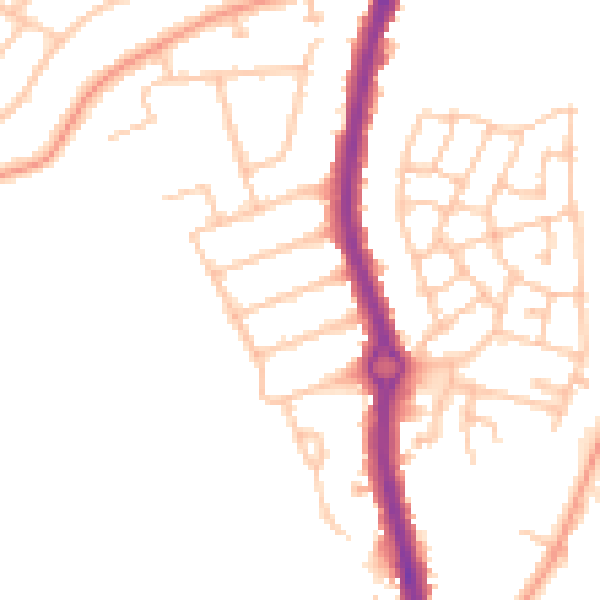
Daytime· 07:00 – 23:00
48.2dB

Night-time· 23:00 – 07:00
38.9dB