26 Crathorne Avenue, Wolverhampton, WV10 6BT
About 26 Crathorne Avenue
26 Crathorne Avenue is a three-bedroom property in Wolverhampton (WV10 6BT). It has council tax band B. The home occupies a cul-de-sac position.
Across 2005–2023, sale prices on this property compounded at 1.9% per year. Last sale on file: £167,000 in December 2023.
What this property has
Inside
- Bedrooms3
- Bathrooms1
- Dining roomYes
- CloakroomYes
Outside
- Private gardenRear
- GarageDetached
- Cul-de-sacYes
Everything you need to know about 26 Crathorne Avenue
The true value, the hidden risks and the full sale history, in one report.
Pick your report · every report is £14.99
One time fee only - money back guarantee

The data behind every report


Energy performance
No EPC on record
This property doesn't have an Energy Performance Certificate yet. An EPC is required to sell or let — and unlocks our automated valuation.
Get a survey for this property
Level 2 HomeBuyer Report
We've checked 10 risk factors against the available data for this property and believe a Level 2 HomeBuyer Report could be a suitable option for you.
Planning history
26 Crathorne Avenue has no planning applications on record.
But the area is active
2 notable applications nearby — larger schemes and conversions that could reshape the street. The report maps them all.
Sales history & valuation
£167,000
Growth on file: 1.9% per year over 19 years.
Sales timeline
19 December 2023Most recent
£167,000
+42.7%over 18 years12 May 2005
£117,000
Median price across the last 5 sales in WV10 6BT: £125,000 (2024–2023).
Nearby sales in WV10 6BT
18 Crathorne Avenue, Wolverhampton, WV10 6BT
Sold Aug 2024
£225,00010 Crathorne Avenue, Wolverhampton, WV10 6BT
Sold Oct 2023
£118,00042 Crathorne Avenue, Wolverhampton, WV10 6BT
Sold Aug 2023
£143,00013 Crathorne Avenue, Wolverhampton, WV10 6BT
Sold Nov 2019
£100,0008 Crathorne Avenue, Wolverhampton, WV10 6BT
Sold Jul 2019
£120,000
Everything you need to know about 26 Crathorne Avenue
The true value, the hidden risks and the full sale history, in one report.
Pick your report · every report is £14.99
One time fee only - money back guarantee
The data behind every report
Similar properties nearby
The neighbourhood at a glance
Crime
6/mo
Steady year-on-year across the wider district.
Nearest stop
1.6 km
Moog — bus stop.
Closest school
0.5 km
Elston Hall Primary School. 26 schools nearby.
Go deeper on the local area
A Local Area report breaks down crime, transport links, schools and air quality in depth.
Road noise across the postcode
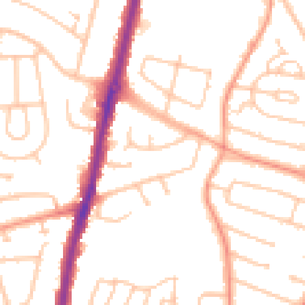
Daytime· 07:00 – 23:00
50.5dB

Night-time· 23:00 – 07:00
39.6dB