5 Maurice Grove, Wolverhampton, WV10 0SP
About 5 Maurice Grove
5 Maurice Grove is a three-bedroom semi-detached house in Wolverhampton (WV10 0SP). It has a recorded floor area of 72 m² (around 775 sq ft), construction records dating it to 1930-1949 and council tax band C. Other recorded features include outbuildings. The home occupies a cul-de-sac position. The latest certificate (September 2025) shows a C (score 71).
Held since October 2001 — that's 25 years off the open market, well above the local norm. Today's modelled estimate of £262,000 sits 309.4% above the 2001 sale of £64,000. On a £-per-square-foot basis, the last sale (£83/sq ft) was about 27.1% below the postcode norm. At 72 m² it's 19.1% smaller than the typical home in the postcode (89 m² median across 7 EPCs). Its energy rating outperforms most of the postcode (better than 86% of similar EPCs).
What this property has
Inside
- Bedrooms3
- Bathrooms1
- Dining roomYes
Outside
- Private gardenRear
- ParkingOff road
- OutbuildingsYes
- Cul-de-sacYes
Building
- Central heatingYes
- RefurbishedYes
Everything you need to know about 5 Maurice Grove
The true value, the hidden risks and the full sale history, in one report.
Pick your report · every report is £14.99
One time fee only - money back guarantee

The data behind every report


Energy performance
EPC Rating
Get a survey for this property
Level 3 Building Survey
Because the property has permanent outbuildings, we believe a Level 3 building survey should be considered.
From £885 · Includes VAT
Planning history
5 Maurice Grove has no planning applications on record.
But the area is active
4 notable applications nearby — larger schemes and conversions that could reshape the street. The report maps them all.
Sales history & valuation
5 Maurice Grove's modelled value sits at over four times its earliest registered sale price (2001).
£262,000
Modelled from EPC, postcode comparables.
£64,000
Recorded with HM Land Registry.
Sales timeline
25 October 2001Most recent
£64,000
Median price across the last 5 sales in WV10 0SP: £268,000 (2025–2014).
Nearby sales in WV10 0SP
11 Maurice Grove, Wolverhampton, WV10 0SP
Sold Jan 2025
£268,00013 Maurice Grove, Wolverhampton, WV10 0SP
Sold Sept 2024
£273,20017 Maurice Grove, Wolverhampton, WV10 0SP
Sold Aug 2024
£340,0009 Maurice Grove, Wolverhampton, WV10 0SP
Sold Jul 2021
£180,00014 Maurice Grove, Wolverhampton, WV10 0SP
Sold Sept 2009
£110,000
Versus other Maurice Grove homes
Price per m² for 5 Maurice Grove lags the street by a wide margin.
Price per m²
£889
Street avg £2,265
Floor Area
72 m²
Street avg 89 m²
Habitable Rooms
4 rooms
Street avg 5 rooms
CO₂ Emissions
2.5 t/year
Street avg 4.5 t/year
Everything you need to know about 5 Maurice Grove
The true value, the hidden risks and the full sale history, in one report.
Pick your report · every report is £14.99
One time fee only - money back guarantee
The data behind every report
Similar properties nearby
The neighbourhood at a glance
Crime
6/mo
Steady year-on-year across the wider district.
Nearest stop
2.1 km
Wood Hayes Road — bus stop.
Closest school
0.3 km
St Mary's Catholic Primary Academy. 34 schools nearby.
Go deeper on the local area
A Local Area report breaks down crime, transport links, schools and air quality in depth.
Road noise across the postcode
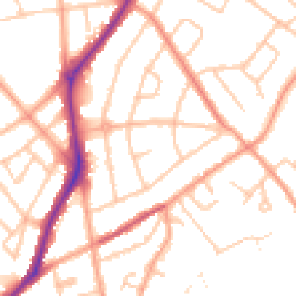
Daytime· 07:00 – 23:00
50.6dB
Night-time· 23:00 – 07:00
40.7dB