3 The Avenue, Fallings Park, Wolverhampton, WV10 0RG
About 3 The Avenue
3 The Avenue is a three-bedroom semi-detached house in Fallings Park, Wolverhampton, Wolverhampton (WV10 0RG). It has a recorded floor area of 136 m² (around 1464 sq ft), construction records dating it to 1930-1949 and council tax band B. The latest certificate (September 2025) shows a D (score 62), on the cusp of jumping into the C band. When first surveyed in April 2011 the rating was E, the property has climbed 1 band since. Between certificates, roof efficiency went from Very Poor to Average; while window efficiency dropped from Average to Poor and lighting dropped from Very Good to Good. The recommended improvements would push it to C (score 74).
Across 1995–2018, sale prices on this property compounded at 4.9% per year. Today's modelled estimate of £265,000 sits 65.6% above the 2018 sale of £160,000. Last sold in February 2018, so it's been off the market for around 8 years.
What this property has
Inside
- Bedrooms3
- Bathrooms2
Everything you need to know about 3 The Avenue
The true value, the hidden risks and the full sale history, in one report.
Pick your report · every report is £14.99
One time fee only - money back guarantee

The data behind every report


Energy performance
3 The Avenue's carbon output runs well above what efficient homes in the postcode produce.
EPC Rating
Property Improvements
Changes detected from historical EPC data
Get a survey for this property
Level 3 Building Survey
Because the property has solid (non-cavity) walls, we believe a Level 3 building survey should be considered.
From £885 · Includes VAT
Planning history
3 The Avenue has no planning applications on record.
But the area is active
4 notable applications nearby — larger schemes and conversions that could reshape the street. The report maps them all.
Sales history & valuation
3 The Avenue has more than doubled in price since the earliest registered sale in 1995.
£265,000
Modelled from EPC, postcode comparables and a sale-price growth of 4.9% per year over 22 years.
£160,000
Growth on file: 4.9% per year over 22 years.
Sales timeline
28 February 2018Most recent
£160,000
+188.3%over 22 years21 December 1995
£55,500
Median price across the last 2 sales in WV10 0RG: £94,750 (2007–2000).
Everything you need to know about 3 The Avenue
The true value, the hidden risks and the full sale history, in one report.
Pick your report · every report is £14.99
One time fee only - money back guarantee
The data behind every report
Similar properties nearby
The neighbourhood at a glance
Crime
6/mo
Steady year-on-year across the wider district.
Nearest stop
1.9 km
Wolverhampton Rail Station — railway station.
Closest school
0.5 km
Heath Park. 33 schools nearby.
Go deeper on the local area
A Local Area report breaks down crime, transport links, schools and air quality in depth.
Road noise across the postcode
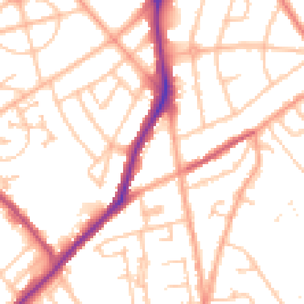
Daytime· 07:00 – 23:00
51.8dB
Night-time· 23:00 – 07:00
41.7dB