42 Grosvenor Street, Wolverhampton, WV10 0EJ
About 42 Grosvenor Street
42 Grosvenor Street is a property in Wolverhampton (WV10 0EJ). It has council tax band A.
On the market in November 2013 and unlisted since — roughly 13 years. Across 2002–2013, sale prices on this property compounded at 8.1% per year.
Everything you need to know about 42 Grosvenor Street
The true value, the hidden risks and the full sale history, in one report.
Pick your report · every report is £14.99
One time fee only - money back guarantee

The data behind every report


Energy performance
No EPC on record
This property doesn't have an Energy Performance Certificate yet. An EPC is required to sell or let — and unlocks our automated valuation.
Get a survey for this property
Level 2 HomeBuyer Report
We've checked 10 risk factors against the available data for this property and believe a Level 2 HomeBuyer Report could be a suitable option for you.
Planning history
42 Grosvenor Street has no planning applications on record.
But the area is active
4 notable applications nearby — larger schemes and conversions that could reshape the street. The report maps them all.
Sales history & valuation
42 Grosvenor Street has more than doubled in price since the earliest registered sale in 2002.
£60,000
Growth on file: 8.1% per year over 11 years.
Sales timeline
15 November 2013Most recent
£60,000
+140.0%over 11 years7 August 2002
£25,000
Median price across the last 5 sales in WV10 0EJ: £125,000 (2023–2021).
Nearby sales in WV10 0EJ
40 Grosvenor Street, Wolverhampton, WV10 0EJ
Sold Dec 2023
£165,00045 Grosvenor Street, Wolverhampton, WV10 0EJ
Sold Aug 2023
£117,00038 Grosvenor Street, Wolverhampton, WV10 0EJ
Sold Apr 2021
£125,00034 Grosvenor Street, Wolverhampton, WV10 0EJ
Sold Jul 2020
£90,00024 Grosvenor Street, Wolverhampton, WV10 0EJ
Sold Jul 2020
£115,000
Everything you need to know about 42 Grosvenor Street
The true value, the hidden risks and the full sale history, in one report.
Pick your report · every report is £14.99
One time fee only - money back guarantee
The data behind every report
Similar properties nearby
The neighbourhood at a glance
Rail-style transport is unusually close for this postcode.
Crime
6/mo
Steady year-on-year across the wider district.
Nearest stop
0.6 km
Wolverhampton Rail Station — railway station.
Closest school
0.4 km
St Stephen's Church of England Primary School. 37 schools nearby.
Go deeper on the local area
A Local Area report breaks down crime, transport links, schools and air quality in depth.
Road noise across the postcode
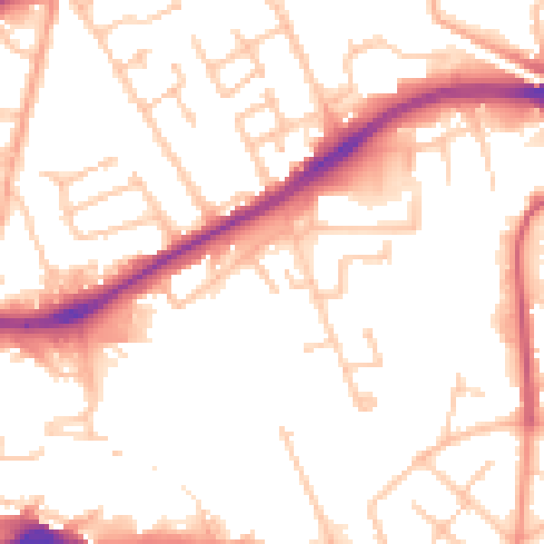
Daytime· 07:00 – 23:00
52.5dB

Night-time· 23:00 – 07:00
42.5dB