41 Powell Street, Wolverhampton, WV10 0BW
About 41 Powell Street
41 Powell Street is a three-bedroom end-of-terrace house in Wolverhampton (WV10 0BW). It has a recorded floor area of 71 m² (around 762 sq ft), construction records dating it to 1900-1929 and council tax band A. The latest certificate (July 2010) shows an E (score 49), well below the UK norm with real room to improve. The recommended improvements would push it to D (score 64). The latest certificate is from July 2010, so improvements made since then won't be reflected. Our model identifies extension potential, subject to local planning policy.
Today's modelled estimate of £146,000 sits 102.8% above the 2016 sale of £72,000. On a £-per-square-foot basis, the last sale (£94/sq ft) was about 53.9% above the typical sold price in the postcode. It lags the bulk of the postcode on energy efficiency (less efficient than 78% of similar EPCs). 10 years since the last transfer (May 2016).
What this property has
Inside
- Bedrooms3
- Bathrooms1
Outside
- Private gardenYes
Building
- Central heatingYes
- RefurbishedYes
- Extension potentialPossible
Everything you need to know about 41 Powell Street
The true value, the hidden risks and the full sale history, in one report.
Pick your report · every report is £14.99
One time fee only - money back guarantee

The data behind every report


Energy performance
41 Powell Street's carbon output runs well above what efficient homes in the postcode produce.
EPC Expired
This certificate is over 10 years old and is no longer valid.Expired 23 Jul 2020
EPC Rating
Get a survey for this property
Level 3 Building Survey
Because the property was built before 1919 and has solid (non-cavity) walls, we believe a Level 3 building survey should be considered.
From £820 · Includes VAT
Planning history
41 Powell Street has no planning applications on record.
But the area is active
4 notable applications nearby — larger schemes and conversions that could reshape the street. The report maps them all.
Sales history & valuation
41 Powell Street valuation sits well clear of the typical sold price in this postcode.
£146,000
Modelled from EPC, postcode comparables.
£72,000
Recorded with HM Land Registry.
Sales timeline
8 May 2016Most recent
£72,000
Median price across the last 5 sales in WV10 0BW: £115,000 (2024–2021).
Nearby sales in WV10 0BW
51 Powell Street, Wolverhampton, WV10 0BW
Sold Mar 2024
£116,50055 Powell Street, Wolverhampton, WV10 0BW
Sold Jun 2023
£90,00027 Powell Street, Wolverhampton, WV10 0BW
Sold Aug 2022
£115,00035 Powell Street, Wolverhampton, WV10 0BW
Sold Mar 2022
£133,00029 Powell Street, Wolverhampton, WV10 0BW
Sold Sept 2021
£92,000
Versus other Powell Street homes
EPC Rating for 41 Powell Street lags the street by a wide margin.
Price per m²
£1,017
Street avg £769
Floor Area
71 m²
Street avg 81 m²
Habitable Rooms
5 rooms
Street avg 4 rooms
CO₂ Emissions
6.0 t/year
Street avg 4.0 t/year
Everything you need to know about 41 Powell Street
The true value, the hidden risks and the full sale history, in one report.
Pick your report · every report is £14.99
One time fee only - money back guarantee
The data behind every report
Similar properties nearby
The neighbourhood at a glance
Crime
6/mo
Steady year-on-year across the wider district.
Nearest stop
1.2 km
Wolverhampton Rail Station — railway station.
Closest school
0.3 km
St Stephen's Church of England Primary School. 36 schools nearby.
Go deeper on the local area
A Local Area report breaks down crime, transport links, schools and air quality in depth.
Road noise across the postcode
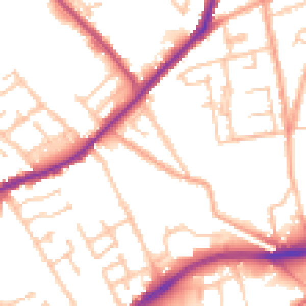
Daytime· 07:00 – 23:00
52.2dB

Night-time· 23:00 – 07:00
42.8dB