179 Cannock Road, Wolverhampton, WV10 0AH
About 179 Cannock Road
179 Cannock Road is a three-bedroom mid-terrace house in Wolverhampton (WV10 0AH). It has a recorded floor area of 77 m² (around 829 sq ft), construction records dating it to 1900-1929 and council tax band A. The latest certificate (May 2024) shows a C (score 71). The recommended improvements would push it to B (score 88).
Its energy rating outperforms most of the postcode (better than 86% of similar EPCs). Today's modelled estimate of £176,000 is 25.7% above the 2024 sale price. On a £-per-square-foot basis, the last sale (£169/sq ft) was about 252.9% above the typical sold price in the postcode. Last sale on file: £140,000 in September 2024.
What this property has
Inside
- Bedrooms3
- Bathrooms1
- Dining roomYes
- CloakroomYes
Outside
- Private gardenRear
Building
- Heating systemGas
Everything you need to know about 179 Cannock Road
The true value, the hidden risks and the full sale history, in one report.
Pick your report · every report is £14.99
One time fee only - money back guarantee

The data behind every report


Energy performance
EPC Rating
Get a survey for this property
Level 3 Building Survey
Because the property was built before 1919, has been extended more than once, and has solid (non-cavity) walls, we believe a Level 3 building survey should be considered.
From £820 · Includes VAT
Planning history
179 Cannock Road has no planning applications on record.
But the area is active
4 notable applications nearby — larger schemes and conversions that could reshape the street. The report maps them all.
Sales history & valuation
Latest sale on 179 Cannock Road was the highest on Land Registry record across the postcode.
£176,000
Modelled from EPC, postcode comparables.
£140,000
Recorded with HM Land Registry.
Sales timeline
15 September 2024Most recent
£140,000
Median price across the last 5 sales in WV10 0AH: £89,000 (2021–2016).
Nearby sales in WV10 0AH
225 Cannock Road, Wolverhampton, WV10 0AH
Sold Nov 2021
£95,000191 Cannock Road, Wolverhampton, WV10 0AH
Sold Jun 2021
£103,000201 Cannock Road, Wolverhampton, WV10 0AH
Sold Jan 2020
£89,000229 Cannock Road, Wolverhampton, WV10 0AH
Sold Aug 2016
£55,000227 Cannock Road, Wolverhampton, WV10 0AH
Sold Nov 2015
£41,500
Versus other Cannock Road homes
179 Cannock Road outperforms the street on price per m² by a wide margin.
Price per m²
£1,818
Street avg £652
Floor Area
77 m²
Street avg 88 m²
Habitable Rooms
5 rooms
Street avg 5 rooms
CO₂ Emissions
2.8 t/year
Street avg 4.7 t/year
Everything you need to know about 179 Cannock Road
The true value, the hidden risks and the full sale history, in one report.
Pick your report · every report is £14.99
One time fee only - money back guarantee
The data behind every report
Similar properties nearby
The neighbourhood at a glance
Rail-style transport is unusually close for this postcode.
Crime
6/mo
Steady year-on-year across the wider district.
Nearest stop
0.9 km
Wolverhampton Rail Station — railway station.
Closest school
0.2 km
Woden Primary School. 41 schools nearby.
Go deeper on the local area
A Local Area report breaks down crime, transport links, schools and air quality in depth.
Road noise across the postcode
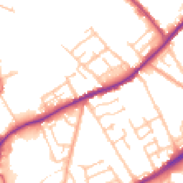
Daytime· 07:00 – 23:00
50.9dB

Night-time· 23:00 – 07:00
42.5dB