29 Bentons Lane, Walsall, WS6 6EF
About 29 Bentons Lane
29 Bentons Lane is a three-bedroom semi-detached house in Walsall (WS6 6EF). It has a recorded floor area of 88 m² (around 947 sq ft), construction records dating it to 1950-1966 and council tax band C. The latest certificate (June 2020) shows a C (score 69), just inside the C band. The recommended improvements would push it to B (score 86). Records show the property has been extended at some point in its history.
One planning record on file: an extension approved in 2004. Past consents include an extension and subdivision, meaningful when judging how the property has evolved. Across 2004–2022, sale prices on this property compounded at 3.4% per year. Today's modelled estimate of £299,000 is 15% above the 2022 sale price. On a £-per-square-foot basis, the last sale (£274/sq ft) was about 107.7% above the typical sold price in the postcode. Sold October 2022 for £260,000. That sale was during the post-pandemic price surge, when transactions cleared materially above pre-2020 trend.
What this property has
Inside
- Bedrooms3
- Bathrooms2
- Open-plan layoutYes
- Dining roomYes
- CloakroomYes
- EnsuiteYes
- StudyYes
Outside
- Private gardenRear
- DrivewayYes
Building
- Previously extendedYes
- RefurbishedYes
Everything you need to know about 29 Bentons Lane
The true value, the hidden risks and the full sale history, in one report.
Pick your report · every report is £14.99
One time fee only - money back guarantee

The data behind every report


Energy performance
EPC Rating
Get a survey for this property
Level 3 Building Survey
Because the property has been extended more than once, we believe a Level 3 building survey should be considered.
From £885 · Includes VAT
Planning history
Council records show a subdivision application — the property's legal arrangement has been altered.
1 application on record at 29 Bentons Lane, Walsall, WS6 6EF
- Jun 2004SubdivisionFullOutcome in report
Alteration and extensions to existing house and extensions to form 1 pair of semi-detached houses
Extension- Reference
- 04/00384/FUL
Unlock 29 Bentons Lane, Walsall, WS6 6EF's full planning history
You're seeing the shape of it. The report has the substance.
- Every decision — granted, refused or withdrawn (1 on record)
- All 1 application on this property in full, plus 2 notable nearby
- What the pattern means for extending or converting here
One time fee only - money back guarantee
Sales history & valuation
The latest sale landed in the post-pandemic price surge — useful context when reading the figure.
£299,000
Modelled from EPC, postcode comparables and a sale-price growth of 3.4% per year over 19 years.
£260,000
Growth on file: 3.4% per year over 19 years.
Sales timeline
25 October 2022Most recent
£260,000
+67.7%over 16 years27 October 2005
£155,000
+12.3%over 1 year6 February 2004
£138,000
Median price across the last 5 sales in WS6 6EF: £235,000 (2024–2015).
Versus other Bentons Lane homes
Price per m² for 29 Bentons Lane runs comfortably ahead of the street norm.
Price per m²
£2,955
Street avg £2,180
Floor Area
88 m²
Street avg 102 m²
Habitable Rooms
5 rooms
Street avg 5 rooms
CO₂ Emissions
3.3 t/year
Street avg 5.7 t/year
Everything you need to know about 29 Bentons Lane
The true value, the hidden risks and the full sale history, in one report.
Pick your report · every report is £14.99
One time fee only - money back guarantee
The data behind every report
Similar properties nearby
1 Appledore Close, Great Wyrley
WS6 6DQ
1 Estridge Lane
WS6 6EL
1 Bentons Lane
WS6 6EF
1 Anson Road, Great Wyrley
WS6 6JE
1 Achilles Close
WS6 6JW
1 Brooklands Avenue
WS6 6LF
1 Bobbin Close, Great Wyrley
WS6 6GF
1 Brook Lane, Great Wyrley
WS6 6BQ
The neighbourhood at a glance
Rail-style transport is unusually close for this postcode.
Crime
3/mo
Steady year-on-year across the wider district.
Nearest stop
0.2 km
Shaws Lane — bus stop.
Closest school
0.9 km
Landywood Primary School. 9 schools nearby.
Go deeper on the local area
A Local Area report breaks down crime, transport links, schools and air quality in depth.
Road noise across the postcode
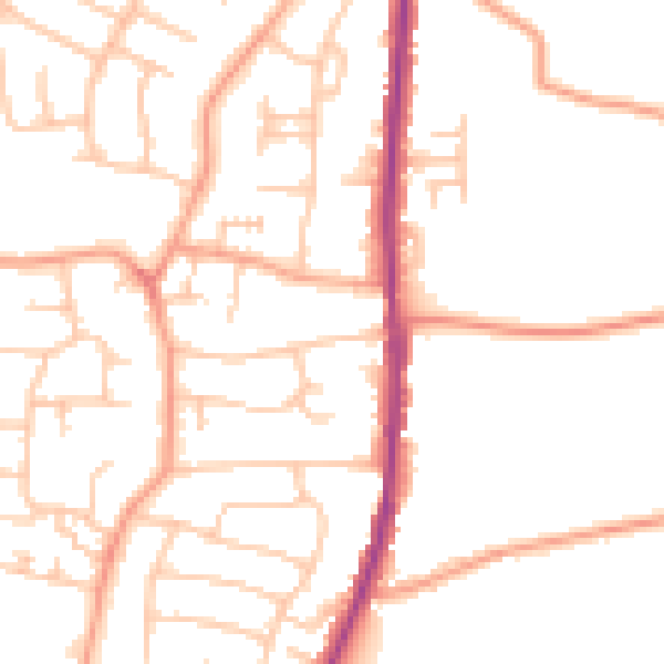
Daytime· 07:00 – 23:00
49.8dB

Night-time· 23:00 – 07:00
39.5dB