21 Bentons Lane, Walsall, WS6 6EF
About 21 Bentons Lane
21 Bentons Lane is a three-bedroom detached house in Walsall (WS6 6EF). It has a recorded floor area of 98 m² (around 1055 sq ft), construction records dating it to 1930-1949 and council tax band D. The latest certificate (January 2013) shows an F (score 34), near the bottom of the EPC scale. The recommended improvements would lift it to C (score 78), a 3-band jump. The latest certificate is from January 2013, so improvements made since then won't be reflected. Period features are noted in the property record. Our model identifies extension potential, subject to local planning policy. The home occupies a corner plot.
On energy efficiency it sits in the bottom 10% of properties in this postcode — significant headroom for improvement. One planning record on file: an extension approved in 2022. Past consents include an extension, meaningful when judging how the property has evolved. Across 2013–2019, sale prices on this property compounded at 4% per year. Today's modelled estimate of £330,000 is 22.7% above the 2019 sale price. On a £-per-square-foot basis, the last sale (£255/sq ft) was about 83.6% above the typical sold price in the postcode. Last sale on file: £269,000 in August 2019.
What this property has
Inside
- Bedrooms3
- Bathrooms1
Outside
- GarageYes
- Corner plotYes
Building
- Period featuresYes
- Extension potentialPossible
Everything you need to know about 21 Bentons Lane
The true value, the hidden risks and the full sale history, in one report.
Pick your report · every report is £14.99
One time fee only - money back guarantee

The data behind every report


Energy performance
21 Bentons Lane sits at the bottom of the postcode for energy efficiency — meaningful headroom to improve.
EPC Expired
This certificate is over 10 years old and is no longer valid.Expired 14 Jan 2023
EPC Rating
Get a survey for this property
Level 3 Building Survey
Because the property has solid (non-cavity) walls, we believe a Level 3 building survey should be considered.
From £955 · Includes VAT
Planning history
21 Bentons Lane has an approved single-storey rear extension on the planning record.
1 application on record at 21 Bentons Lane, Walsall, WS6 6EF
- Sept 2022ExtensionFullOutcome in report
Extension: Single storey · Rear of property
Single storey rear extension
- Documents
- 12 docs on file
- Reference
- 22/00679/FUL
Unlock 21 Bentons Lane, Walsall, WS6 6EF's full planning history
You're seeing the shape of it. The report has the substance.
- Every decision — granted, refused or withdrawn (1 on record)
- All 1 application on this property in full, plus 2 notable nearby
- The 12 documents, officer reports & conditions
- What the pattern means for extending or converting here
One time fee only - money back guarantee
Sales history & valuation
Latest sale on 21 Bentons Lane was the highest on Land Registry record across the postcode.
£330,000
Modelled from EPC, postcode comparables and a sale-price growth of 4.0% per year over 6 years.
£269,000
Growth on file: 4.0% per year over 6 years.
Sales timeline
22 August 2019Most recent
£269,000
+25.1%over 5 years9 December 2013
£215,000
Median price across the last 5 sales in WS6 6EF: £235,000 (2024–2015).
Versus other Bentons Lane homes
On epc rating, 21 Bentons Lane runs well behind the street norm.
Price per m²
£2,745
Street avg £2,206
Floor Area
98 m²
Street avg 101 m²
Habitable Rooms
5 rooms
Street avg 5 rooms
CO₂ Emissions
8.3 t/year
Street avg 5.3 t/year
Everything you need to know about 21 Bentons Lane
The true value, the hidden risks and the full sale history, in one report.
Pick your report · every report is £14.99
One time fee only - money back guarantee
The data behind every report
Similar properties nearby
1 Appledore Close, Great Wyrley
WS6 6DQ
1 Estridge Lane
WS6 6EL
1 Bentons Lane
WS6 6EF
1 Anson Road, Great Wyrley
WS6 6JE
1 Achilles Close
WS6 6JW
1 Brooklands Avenue
WS6 6LF
1 Bobbin Close, Great Wyrley
WS6 6GF
1 Brook Lane, Great Wyrley
WS6 6BQ
The neighbourhood at a glance
Rail-style transport is unusually close for this postcode.
Crime
3/mo
Steady year-on-year across the wider district.
Nearest stop
0.2 km
Shaws Lane — bus stop.
Closest school
0.9 km
Landywood Primary School. 9 schools nearby.
Go deeper on the local area
A Local Area report breaks down crime, transport links, schools and air quality in depth.
Road noise across the postcode
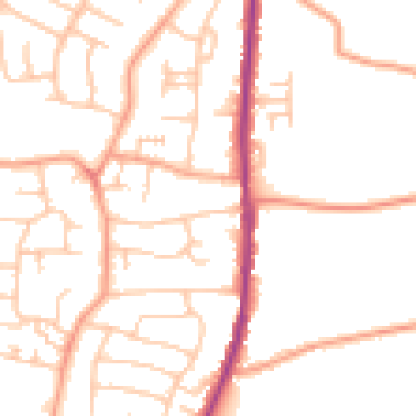
Daytime· 07:00 – 23:00
49.8dB

Night-time· 23:00 – 07:00
39.5dB