56 Johns Lane, Walsall, WS6 6BX
About 56 Johns Lane
56 Johns Lane is a three-bedroom detached house in Walsall (WS6 6BX). It has a recorded floor area of 84 m² (around 904 sq ft), construction records dating it to 1967-1975 and council tax band D. The latest certificate (December 2015) shows a D (score 66), on the cusp of jumping into the C band. The recommended improvements would lift it to B (score 85), a 2-band jump. The latest certificate is from December 2015, so improvements made since then won't be reflected. Records show the property has been extended at some point in its history.
At 84 m² the property is well over the postcode median (62 m² across 16 EPCs), placing it in the larger end of the local stock. Across 2002–2017, sale prices on this property compounded at 4.9% per year. Today's modelled estimate of £308,000 sits 59.6% above the 2017 sale of £193,000. On a £-per-square-foot basis, the last sale (£213/sq ft) was about 40.7% above the typical sold price in the postcode. 2 planning records sit against the property, 2 approved, 0 refused. Past consents include an extension, meaningful when judging how the property has evolved. On the market in March 2017 and unlisted since — roughly 9 years.
What this property has
Inside
- Bedrooms3
- Bathrooms1
Outside
- GarageYes
Building
- Previously extendedYes
Everything you need to know about 56 Johns Lane
The true value, the hidden risks and the full sale history, in one report.
Pick your report · every report is £14.99
One time fee only - money back guarantee

The data behind every report


Energy performance
Recommended upgrades on file would lift this property by multiple EPC bands.
EPC Expired
This certificate is over 10 years old and is no longer valid.Expired 21 Dec 2025
EPC Rating
Get a survey for this property
Level 2 HomeBuyer Report
We've checked 10 risk factors against the available data for this property and believe a Level 2 HomeBuyer Report could be a suitable option for you.
From £595 · Includes VAT
Planning history
56 Johns Lane has 2 separate extension applications on the council record.
2 applications on record at 56 Johns Lane, Walsall, WS6 6BX
- Nov 2010ExtensionFullOutcome in report
Extension: Single storey · Front of property
Single-storey front extension
- Reference
- 10/00835/FUL
- More recent applications — locked
- ExtensionAug 2017Decision
Unlock 56 Johns Lane, Walsall, WS6 6BX's full planning history
You're seeing the shape of it. The report has the substance.
- Every decision — granted, refused or withdrawn (2 on record)
- All 2 applications on this property in full, plus 2 notable nearby
- The 3 documents, officer reports & conditions
- What the pattern means for extending or converting here
One time fee only - money back guarantee
Sales history & valuation
56 Johns Lane has more than doubled in price since the earliest registered sale in 2002.
£308,000
Modelled from EPC, postcode comparables and a sale-price growth of 4.9% per year over 15 years.
£193,000
Growth on file: 4.9% per year over 15 years.
Sales timeline
29 March 2017Most recent
£193,000
+103.2%over 14 years20 June 2002
£95,000
Median price across the last 5 sales in WS6 6BX: £182,500 (2021–2017).
Versus other Johns Lane homes
Habitable Rooms for 56 Johns Lane runs comfortably ahead of the street norm.
Price per m²
£2,298
Street avg £1,986
Floor Area
84 m²
Street avg 69 m²
Habitable Rooms
5 rooms
Street avg 4 rooms
CO₂ Emissions
3.6 t/year
Street avg 3.5 t/year
Everything you need to know about 56 Johns Lane
The true value, the hidden risks and the full sale history, in one report.
Pick your report · every report is £14.99
One time fee only - money back guarantee
The data behind every report
Similar properties nearby
1 Appledore Close, Great Wyrley
WS6 6DQ
1 Estridge Lane
WS6 6EL
1 Bentons Lane
WS6 6EF
1 Anson Road, Great Wyrley
WS6 6JE
1 Achilles Close
WS6 6JW
1 Brooklands Avenue
WS6 6LF
1 Bobbin Close, Great Wyrley
WS6 6GF
1 Brook Lane, Great Wyrley
WS6 6BQ
The neighbourhood at a glance
Rail-style transport is unusually close for this postcode.
Crime
3/mo
Steady year-on-year across the wider district.
Nearest stop
0.0 km
Cotswold Avenue — bus stop.
Closest school
0.2 km
Moat Hall Primary Academy. 11 schools nearby.
Go deeper on the local area
A Local Area report breaks down crime, transport links, schools and air quality in depth.
Road noise across the postcode
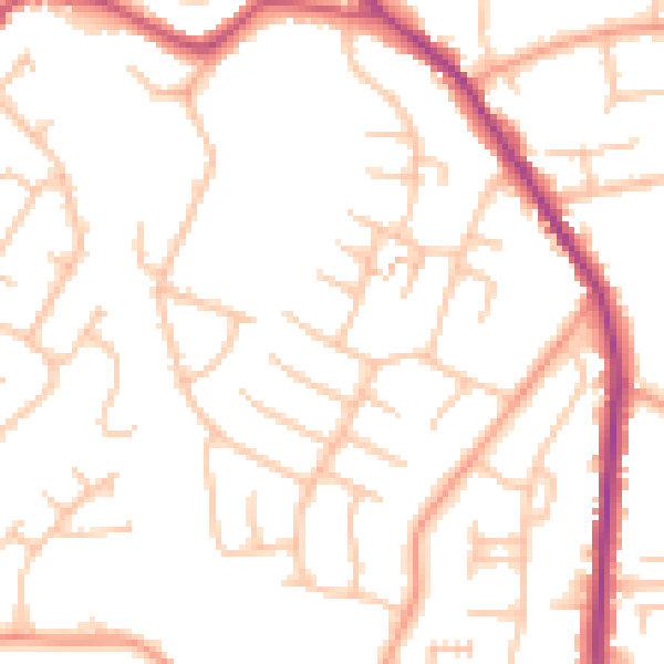
Daytime· 07:00 – 23:00
50.7dB

Night-time· 23:00 – 07:00
40.8dB