24 Jacobs Hall Lane, Walsall, WS6 6AD
About 24 Jacobs Hall Lane
24 Jacobs Hall Lane is a five-bedroom detached house in Walsall (WS6 6AD). It has a recorded floor area of 224 m² (around 2411 sq ft), construction records dating it to 2003-2006 and council tax band G. The latest certificate (October 2015) shows a C (score 74). The recommended improvements would push it to B (score 81). The latest certificate is from October 2015, so improvements made since then won't be reflected.
At 224 m² the property is well over the postcode median (93 m² across 28 EPCs), placing it in the larger end of the local stock. Its energy rating outperforms most of the postcode (better than 79% of similar EPCs). 5 bedrooms is on the larger side for this postcode, where 3 is the typical count. Last sold in September 2016, so it's been off the market for around 10 years. Across 2006–2016, sale prices on this property compounded at 1% per year. Today's modelled estimate of £689,000 is 42.1% above the 2016 sale price.
What this property has
Inside
- Bedrooms5
- Bathrooms3
- EnsuiteYes
Outside
- Private gardenRear
- GarageDouble
Building
- RefurbishedYes
Everything you need to know about 24 Jacobs Hall Lane
The true value, the hidden risks and the full sale history, in one report.
Pick your report · every report is £14.99
One time fee only - money back guarantee

The data behind every report


Energy performance
24 Jacobs Hall Lane's carbon output runs well above what efficient homes in the postcode produce.
EPC Expired
This certificate is over 10 years old and is no longer valid.Expired 01 Oct 2025
EPC Rating
Get a survey for this property
Level 2 HomeBuyer Report
We've checked 10 risk factors against the available data for this property and believe a Level 2 HomeBuyer Report could be a suitable option for you.
From £895 · Includes VAT
Planning history
24 Jacobs Hall Lane has no planning applications on record.
But the area is active
2 notable applications nearby — larger schemes and conversions that could reshape the street. The report maps them all.
Sales history & valuation
24 Jacobs Hall Lane's sale-price growth has lagged the wider UK trajectory across its history on file.
£689,000
Modelled from EPC, postcode comparables and a sale-price growth of 1.0% per year over 10 years.
£485,000
Growth on file: 1.0% per year over 10 years.
Sales timeline
28 September 2016Most recent
£485,000
+10.5%over 10 years5 June 2006
£439,000
Median price across the last 5 sales in WS6 6AD: £297,000 (2025–2022).
Nearby sales in WS6 6AD
Versus other Jacobs Hall Lane homes
24 Jacobs Hall Lane outperforms the street on habitable rooms by a wide margin.
Price per m²
£2,165
Street avg £2,643
Floor Area
224 m²
Street avg 109 m²
Habitable Rooms
10 rooms
Street avg 5 rooms
CO₂ Emissions
6.2 t/year
Street avg 5.1 t/year
Everything you need to know about 24 Jacobs Hall Lane
The true value, the hidden risks and the full sale history, in one report.
Pick your report · every report is £14.99
One time fee only - money back guarantee
The data behind every report
Similar properties nearby
1 Appledore Close, Great Wyrley
WS6 6DQ
1 Estridge Lane
WS6 6EL
1 Bentons Lane
WS6 6EF
1 Anson Road, Great Wyrley
WS6 6JE
1 Brooklands Avenue
WS6 6LF
1 Bobbin Close, Great Wyrley
WS6 6GF
1 Brook Lane, Great Wyrley
WS6 6BQ
1 Alpha Way
WS6 6AH
The neighbourhood at a glance
Rail-style transport is unusually close for this postcode.
Crime
3/mo
Steady year-on-year across the wider district.
Nearest stop
0.3 km
Jacobs Hall Lane — bus stop.
Closest school
0.8 km
Landywood Primary School. 8 schools nearby.
Go deeper on the local area
A Local Area report breaks down crime, transport links, schools and air quality in depth.
Road noise across the postcode
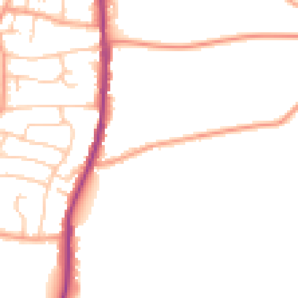
Daytime· 07:00 – 23:00
47.1dB

Night-time· 23:00 – 07:00
38.7dB