35 Jacobs Hall Lane, Walsall, WS6 6AD
About 35 Jacobs Hall Lane
35 Jacobs Hall Lane is a three-bedroom semi-detached house in Walsall (WS6 6AD). It has a recorded floor area of 87 m² (around 936 sq ft), construction records dating it to 1900-1929 and council tax band B. The latest certificate (September 2018) shows an E (score 43), well below the UK norm with real room to improve. The recommended improvements would lift it to B (score 83), a 3-band jump. Other recorded features include notable views and attached land beyond the plot.
One planning record on file: an extension approved in 2022. Past consents include an extension, meaningful when judging how the property has evolved. It lags the bulk of the postcode on energy efficiency (less efficient than 75% of similar EPCs). Across 2018–2022, sale prices on this property compounded at 19.3% per year. Today's modelled estimate of £284,000 is 15.9% above the 2022 sale price. On a £-per-square-foot basis, the last sale (£262/sq ft) was about 37.4% above the typical sold price in the postcode. Most recent transfer: March 2022 at £245,000. That sale was during the post-pandemic price surge, when transactions cleared materially above pre-2020 trend.
What this property has
Inside
- Bedrooms3
- Bathrooms1
Outside
- Private gardenRear
- LandYes
- Notable viewsYes
Building
- Central heatingYes
- RefurbishedYes
Everything you need to know about 35 Jacobs Hall Lane
The true value, the hidden risks and the full sale history, in one report.
Pick your report · every report is £14.99
One time fee only - money back guarantee

The data behind every report


Energy performance
35 Jacobs Hall Lane's carbon output runs well above what efficient homes in the postcode produce.
EPC Rating
Get a survey for this property
Level 3 Building Survey
Because the property was built before 1919 and has solid (non-cavity) walls, we believe a Level 3 building survey should be considered.
From £885 · Includes VAT
Planning history
1 application on record at 35 Jacobs Hall Lane, Walsall, WS6 6AD
- Sept 2022ExtensionFullOutcome in report
Extension: Single storey · Rear of property
Single storey rear extension replacing existing outbuilding, plus masonry potting shed to side elevation
- Documents
- 9 docs on file
- Reference
- 22/00753/FUL
Unlock 35 Jacobs Hall Lane, Walsall, WS6 6AD's full planning history
You're seeing the shape of it. The report has the substance.
- Every decision — granted, refused or withdrawn (1 on record)
- All 1 application on this property in full, plus 2 notable nearby
- The 9 documents, officer reports & conditions
- What the pattern means for extending or converting here
One time fee only - money back guarantee
Sales history & valuation
The latest sale landed in the post-pandemic price surge — useful context when reading the figure.
£284,000
Modelled from EPC, postcode comparables and a sale-price growth of 19.3% per year over 3 years.
£245,000
Growth on file: 19.3% per year over 3 years.
Sales timeline
25 March 2022Most recent
£245,000
+78.2%over 3 years14 December 2018
£137,500
Median price across the last 5 sales in WS6 6AD: £297,000 (2025–2021).
Nearby sales in WS6 6AD
Versus other Jacobs Hall Lane homes
35 Jacobs Hall Lane is notably below the street on co₂ emissions.
Price per m²
£2,816
Street avg £2,616
Floor Area
87 m²
Street avg 114 m²
Habitable Rooms
6 rooms
Street avg 6 rooms
CO₂ Emissions
7.0 t/year
Street avg 5.1 t/year
Everything you need to know about 35 Jacobs Hall Lane
The true value, the hidden risks and the full sale history, in one report.
Pick your report · every report is £14.99
One time fee only - money back guarantee
The data behind every report
Similar properties nearby
1 Estridge Lane
WS6 6EL
1 Appledore Close, Great Wyrley
WS6 6DQ
1 Bentons Lane
WS6 6EF
1 Anson Road, Great Wyrley
WS6 6JE
1 Achilles Close
WS6 6JW
1 Brooklands Avenue
WS6 6LF
1 Bobbin Close, Great Wyrley
WS6 6GF
1 Brook Lane, Great Wyrley
WS6 6BQ
The neighbourhood at a glance
Rail-style transport is unusually close for this postcode.
Crime
3/mo
Steady year-on-year across the wider district.
Nearest stop
0.3 km
Jacobs Hall Lane — bus stop.
Closest school
0.8 km
Landywood Primary School. 8 schools nearby.
Go deeper on the local area
A Local Area report breaks down crime, transport links, schools and air quality in depth.
Road noise across the postcode
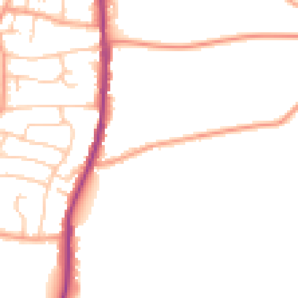
Daytime· 07:00 – 23:00
47.1dB

Night-time· 23:00 – 07:00
38.7dB