11 Albany Drive, Cannock, WS12 2GQ
About 11 Albany Drive
11 Albany Drive is a detached house in Cannock (WS12 2GQ). It has a recorded floor area of 112 m² (around 1206 sq ft), construction records dating it to 1996-2002 and council tax band D. The latest certificate (April 2015) shows a D (score 62), on the cusp of jumping into the C band. The recommended improvements would lift it to B (score 81), a 2-band jump. The latest certificate is from April 2015, so improvements made since then won't be reflected.
It hasn't traded since August 1999, a hold of 27 years that's notably long for the area. Only one transfer is on record with HM Land Registry, suggesting it has stayed in the same hands for a long time. Today's modelled estimate of £334,000 sits 227.5% above the 1999 sale of £101,995. On a £-per-square-foot basis, the last sale (£85/sq ft) was about 39.2% below the postcode norm. One historical planning record sits against the property in 2014.
Know exactly what you're buying at 11 Albany Drive
Before you offer, see what the listing won't tell you, the true value, the red flags and the full history.
Already flagged here
Valuation
against the asking price
Risks
planning & flood
Sold prices
similar homes nearby
Trends
the local market
Energy performance
Recommended upgrades on file would lift this property by multiple EPC bands.
EPC Expired
This certificate is over 10 years old and is no longer valid.Expired 05 Apr 2025
EPC Rating
Planning history
- Oct 2014OutbuildingFullIn report
Detached double garage to front
- Documents
- 5 docs on file
- Reference
- CH/14/0199
We flagged 1 thing worth checking at 11 Albany Drive
Independent checks surfaced things a buyer would want to understand before offering. The report explains each one in full, with the underlying data and what to ask.
- Larger development activity nearby
30-day money-back guarantee
Sales history & valuation
11 Albany Drive's estimated value is more than triple its earliest registered sale price (1999).
£334,000
Modelled from EPC, postcode comparables.
£101,995
Recorded with HM Land Registry.
Sales timeline
26 August 1999Most recent
£101,995
Median price across the last 5 sales in WS12 2GQ: £317,500 (2022–2019).
Everything we know about 11 Albany Drive, in one report
What it's really worth, what could be wrong, and the planning, sales and area data in full.
What we flagged
- Larger development activity nearby

Versus other Albany Drive homes
Years Held for 11 Albany Drive runs comfortably ahead of the street norm.
Price per m²
£911
Street avg £2,098
Floor Area
112 m²
Street avg 128 m²
Habitable Rooms
7 rooms
Street avg 7 rooms
CO₂ Emissions
5.6 t/year
Street avg 5.0 t/year
Similar properties nearby
1 Chaplain Road
WS12 2UY
1 Croxley Drive, Hednesford
WS12 2GU
1 Dugdale Close
WS12 2SA
1 Dew Close, Hednesford
WS12 2ED
1 Adelaide Drive
WS12 2GP
1 Brisbane Way
WS12 2GR
1 Brampton Drive
WS12 2DT
1 Alpine Drive, Hednesford
WS12 2NL
The neighbourhood at a glance
Daytime road noise here sits well below conversation level — a quiet pocket of the postcode.
Crime
2/mo
Falling year-on-year across the wider district.
Nearest stop
0.2 km
Melbourne Road — bus stop.
Closest school
0.4 km
Heath Hayes Primary Academy. 16 schools nearby.
Go deeper on the local area
The full report breaks down crime, transport links, schools and air quality in depth.
Road noise across the postcode
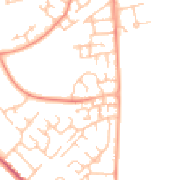
Daytime· 07:00 – 23:00
48.0dB

Night-time· 23:00 – 07:00
37.4dB